July 7 , 2025.
Indonesia , Lewotobi Laki-laki :
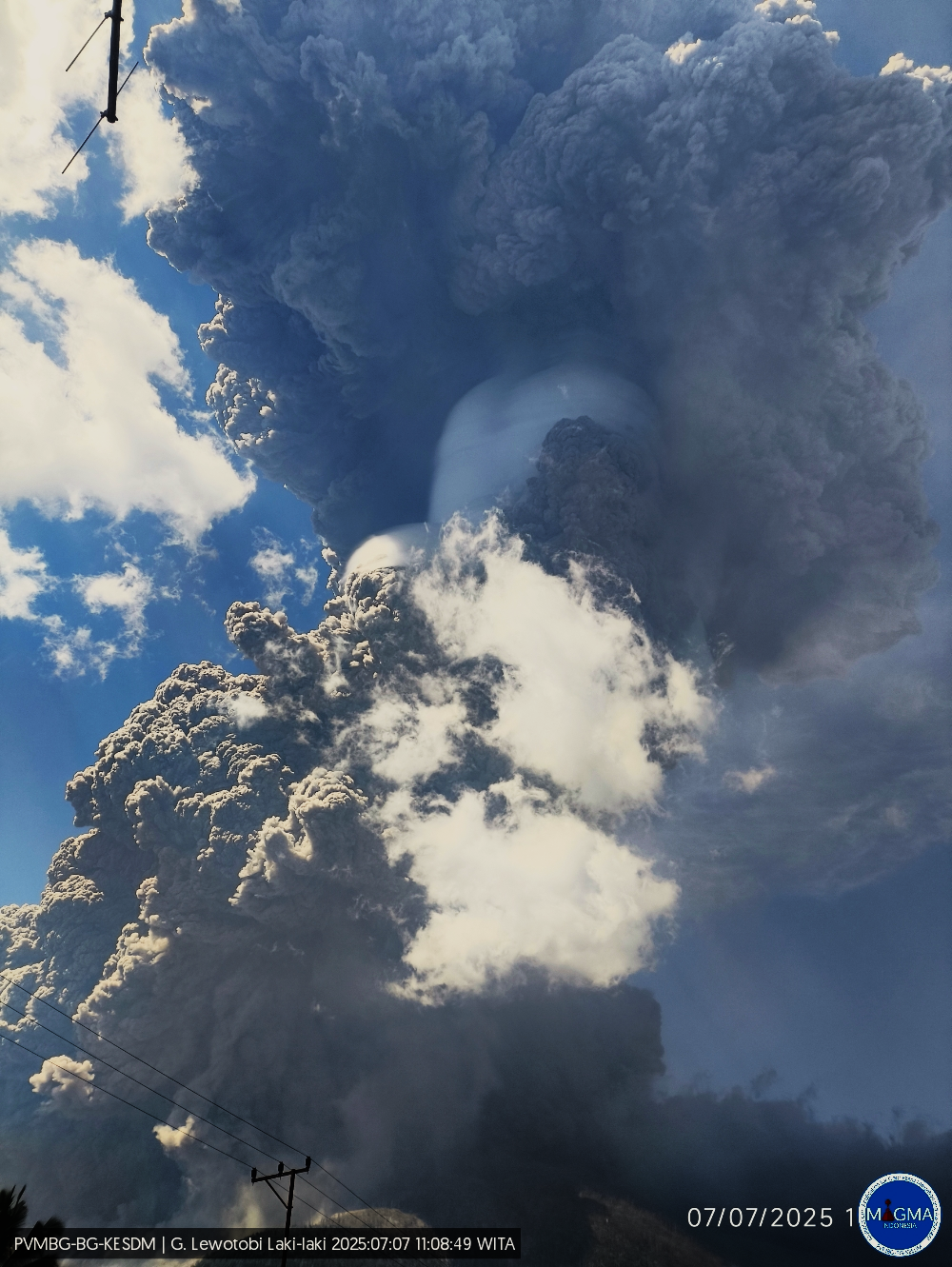
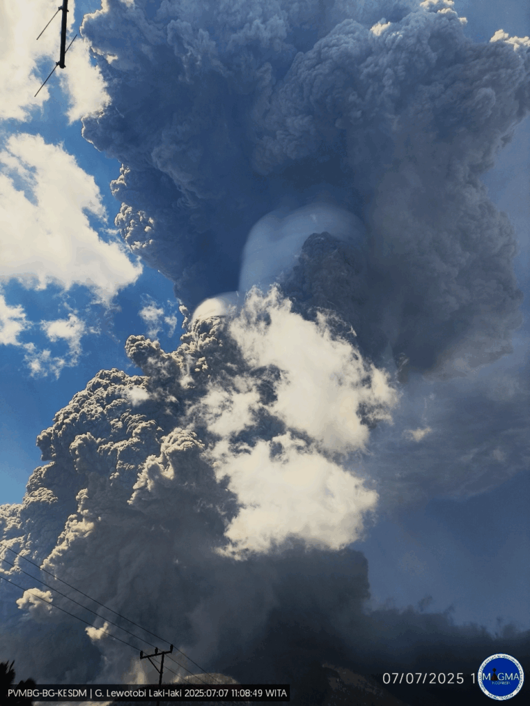
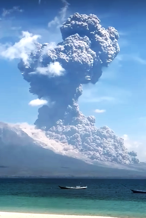
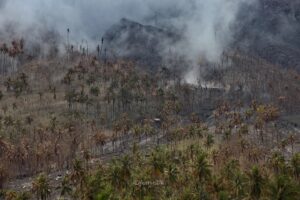
An eruption of Mount Lewotobi Laki-laki occurred on Monday, July 7, 2025, at 11:05 WITA. The observed ash column was ± 18,000 m above the summit (± 19,584 m above sea level). The ash column was gray to black in color, with strong intensity, oriented toward the north, northeast, and northwest. At the time of this report, the eruption was still ongoing.
VOLCANO OBSERVATORY NOTICE FOR AVIATION – VONA
Issued : July 7 , 2025
Volcano : Lewotobi Laki-laki (264180)
Current Aviation Colour Code : RED
Previous Aviation Colour Code : orange
Source : Lewotobi Laki-laki Volcano Observatory
Notice Number : 2025LWK345
Volcano Location : S 08 deg 32 min 20 sec E 122 deg 46 min 06 sec
Area : East Nusa Tenggara, Indonesia
Summit Elevation : 5069 FT (1584 M)
Volcanic Activity Summary :
Eruption with volcanic ash cloud at 03h05 UTC (11h05 local).
Volcanic Cloud Height :
Best estimate of ash-cloud top is around 62669 FT (19584 M) above sea level or 57600 FT (18000 M) above summit. May be higher than what can be observed clearly. Source of height data: ground observer.
Other Volcanic Cloud Information :
Ash cloud moving from north, northeast to northwest. Volcanic ash is observed to be gray to dark. The intensity of volcanic ash is observed to be thick.
Remarks :
Eruption and ash emission is continuing. Eruption recorded on seismogram with maximum amplitude 47.3 mm.
Source : Magma Indonésie .
Photos : Magma Indonésie , Netaa Ndun ( capture d’écran)
New Zealand , White Island :
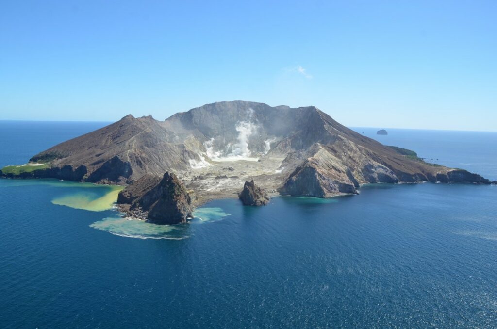
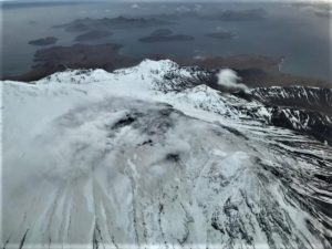
Whakaari/White Island activity limited to steam and gas emissions. Volcanic Alert Level remains at level 2 and Aviation Colour Code remains Yellow.
Published: Mon Jul 7 2025 2:30 PM
Based on observations from a recent observation flight, webcam and satellite imagery, we can confirm no further ash emissions have been detected at Whakaari/White Island. Emissions are limited to steam and gas emissions. The Volcanic Alert Level remains at level 2 and the Aviation Colour Code remains Yellow.
Observations from a recent observation flight, the GeoNet cameras in the Bay of Plenty and satellite imagery over the past few weeks have confirmed there are only steam and gas emissions occurring, with no accompanying ash emissions from the volcano. Our colleagues at MetService have also not detected volcanic ash in the observed plumes using satellite imagery.
The recent observation flight did confirm there has not been any further ash emissions or major changes in the active vent configuration. Vent emission temperatures have declined significantly (from 465 °C on 6 May down to 107 °C 24 June). When weather conditions have allowed, we have seen 3 strong recommencements of steam and gas emission creating tall plumes above the island (400-500 m high) and well observed from the Bay of Plenty coast. No ash emissions were observed at these times. During the observation flight, we recorded evidence of fresh impact craters near the active vent, though their timing is unknown.
As conditions allow, we will continue to conduct gas and observation flights to confirm the status of ongoing unrest activity. Data collected during overflights includes visual observations of the active vent morphology and activity, gas flux, and vent temperatures. Sulphur dioxide (SO₂) emissions are also monitored by satellite. The Te Kaha and Whakatāne web cameras continue to provide observations of the plumes’ status, but local weather conditions may impact how the activity appears from the Bay of Plenty coast.
Based on the recent observations we confirm the level of volcanic activity remains low and the Volcanic Alert Level remains at level 2 (moderate-heightened unrest) and the Aviation Colour Code remains Yellow. These levels acknowledge the current level of activity but also reflect the degree of uncertainty about the unrest level due to the current lack of real-time monitoring data from the island – volcanic activity could escalate with little or no warning. Further sudden, more explosive events could therefore affect the crater floor area and immediate vicinity of the island.
Source : Geonet / Brad Scott / Volcanologist on duty
Photo : Brad Scott, GNS Science ( 2023)
Philippines , Taal :
TAAL VOLCANO ADVISORY
06 July 2025 , 3:20 PM
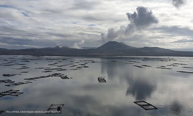
This is a notice of increased seismic energy release from Taal Volcano.
Since 03:37 AM today, 06 July 2025, stations of the Taal Volcano Network (TVN) situated on Taal Volcano Island (TVI) have been recording a pronounced increase in real-time seismic energy measurement or RSAM simultaneous with continuing volcanic tremor. A total of only two (2) low frequency volcanic earthquakes have been recorded by the TVN since 01 July 2025. Visual observations also noted the absence of a degassing plume from the Taal Main Crater since the start of RSAM increase. Taal has been degassing low levels of sulfur dioxide or SO2 since June 2025 with the latest emission measured on 4 July 2025 averaging 377 tonnes/day. The sharp increase in RSAM and the lack of observable degassing from the Main Crater may indicate blockage or plugging of volcanic gas pathways within the volcano, which may lead to short-term pressurization and trigger a phreatic or even a minor phreatomagmatic eruption.
DOST-PHIVOLCS reminds the public that Alert Level 1 prevails over Taal Volcano, which means that it is still in abnormal condition and should not be interpreted to have ceased unrest nor ceased the threat of eruptive activity. At Alert Level 1, sudden steam-driven or phreatic or minor phreatomagmatic eruptions, minor ashfall and lethal accumulations or expulsions of volcanic gas can occur and threaten areas within TVI. DOST-PHIVOLCS strongly recommends that entry into TVI, Taal’s Permanent Danger Zone or PDZ, especially the vicinities of the Main Crater and the Daang Kastila fissure, must remain strictly prohibited. Local government units are advised to continuously prepare for potential recurrence of volcanic SO2 increases and exposure of their communities and undertake appropriate response measures to mitigate the health impacts of these hazards. Lastly, civil aviation authorities must also advise pilots to avoid flying above TVI as ash from any sudden eruption can be hazardous to aircraft.
DOST-PHIVOLCS is closely monitoring Taal Volcano’s activity and any new significant development will be immediately communicated to all stakeholders.
Source : DOST-PHIVOLCS
Photo : CNNPH , Marcelliano Teofilo
Chile , Laguna del Maule :
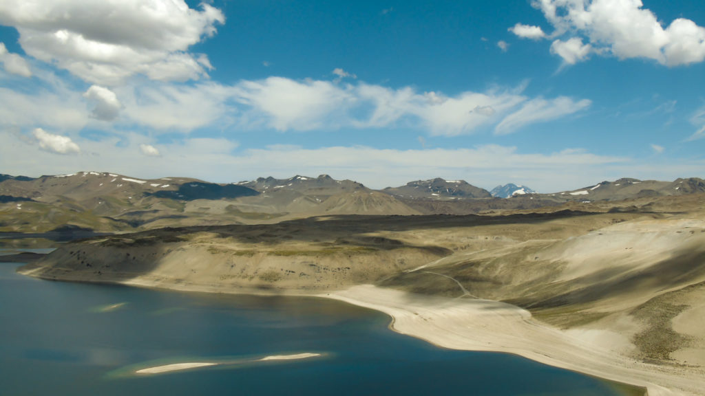
Special Report on Volcanic Activity (REAV), Maule Regions, Laguna del Maule Volcanic Complex, July 6, 2025, 8:28 a.m. local time (Continental Chile)
The National Geology and Mining Service of Chile (SERNAGEOMIN) announces the following preliminary information, obtained using the monitoring equipment of the National Volcanic Monitoring Network (RNVV), processed and analyzed at the Southern Andean Volcano Observatory (OVDAS):
On Sunday, July 6, 2025, at 6:05 a.m. (10:05 UTC), monitoring stations installed near the Laguna del Maule volcanic complex recorded an increase in the occurrence of volcano-tectonic earthquakes (associated with rock fracturing within the volcanic system), reaching a total of 102 earthquakes in the last few hours, characterizing this seismic episode as a swarm of earthquakes.
The characteristics of the highest-energy earthquake after its analysis are as follows:
TIME OF ORIGIN: 06:05 local time (10:05 UTC)
LATITUDE: 36.052° S
LONGITUDE: 70.501° W
DEPTH: 7.8 km
LOCAL MAGNITUDE: 2.4 (ML)
Observation:
At the time of this report, seismic events with similar characteristics but lower energy are still being recorded.
The Volcanic Technical Alert remains at GREEN.
Source : Sernageomin
Photo : Franco Vera.
Ecuador , El Reventador :
DAILY STATUS REPORT OF REVENTADOR VOLCANO, Sunday, July 6, 2025.
Information Geophysical Institute – EPN.
Surface Activity Level: High, Surface Trend: No change
Internal Activity Level: Moderate, Internal Trend: No change
From July 5, 2025, 11:00 a.m. to July 6, 2025, 11:00 a.m.:
Seismicity:
Below is the count of seismic events recorded at the reference station.
Explosion (EXP) 103
Long Period (LP) 13
Emission Tremor (TREMI) 5
Harmonic Tremor (TRARM) 9
Rainfall/Lahars:
Precipitation was recorded in the area without generating mudflows or debris flows. **Heavy rainfall can remobilize accumulated material and generate debris-laden mudflows (lahars), which could cascade down the volcano’s flanks and flow into adjacent rivers.**
Emission/Ash Column:
Since yesterday afternoon, several gas and ash emissions have been recorded by surveillance cameras at altitudes between 400 and 700 meters above the crater level, in a west and northwest direction. Regarding this activity, the Washington VAAC agency has issued four reports of gas and ash emissions, reaching up to 700 meters above the crater level, in a northwest direction.
Other monitoring parameters:
The MIROVA-MODIS satellite system recorded two thermal anomalies, the MIROVA-VIIRS satellite system five thermal anomalies, and the FIRMS satellite system three thermal anomalies over the past 24 hours.
Observation:
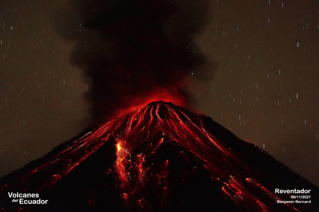
Yesterday evening and early this morning, the camera system observed the descent of incandescent material on the east-southeast and southeastern flanks, up to 1,100 meters below the crater level. At the time of writing, the volcano remains partially clear.
Alert Level – SGR: Orange
Source : IGEPN
Photo : Benjamin Bernard.

