13 Juillet 2019.
Italy , Stromboli :
VOLCANIC ACTIVITY OF STROMBOLI – COMMUNIQUE of July 12, 2019, 12:13 UTC.
The INGV Osservatorio Etneo indicates that the observations made by the surveillance cameras at 400 m above sea level and by the INGV field staff on the island confirm the continuation of the Strombolian activity from the Center-South and North zones on the crater terrace. The lava flows from the South-Central Zone to Sciara del Fuoco reach about half of the Sciara slope.
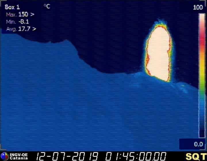
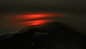
Thermal image of an explosion recorded early on July 12, 2019 by the thermal camera at 400 m altitude.
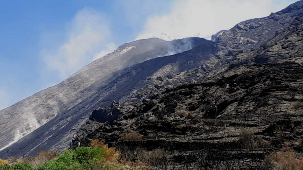
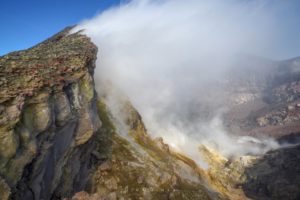
Photograph taken on July 11, 2019, at 3:30 pm, of the active lava flow field located in the upper part of the Sciara del Fuoco, under the South Central crater zone. The dust clouds are raised by falling rocks. Photo of F. Murè.
INGV staff on the island are repairing / replacing surveillance equipment damaged or destroyed by the breakthrough of July 3, 2019.
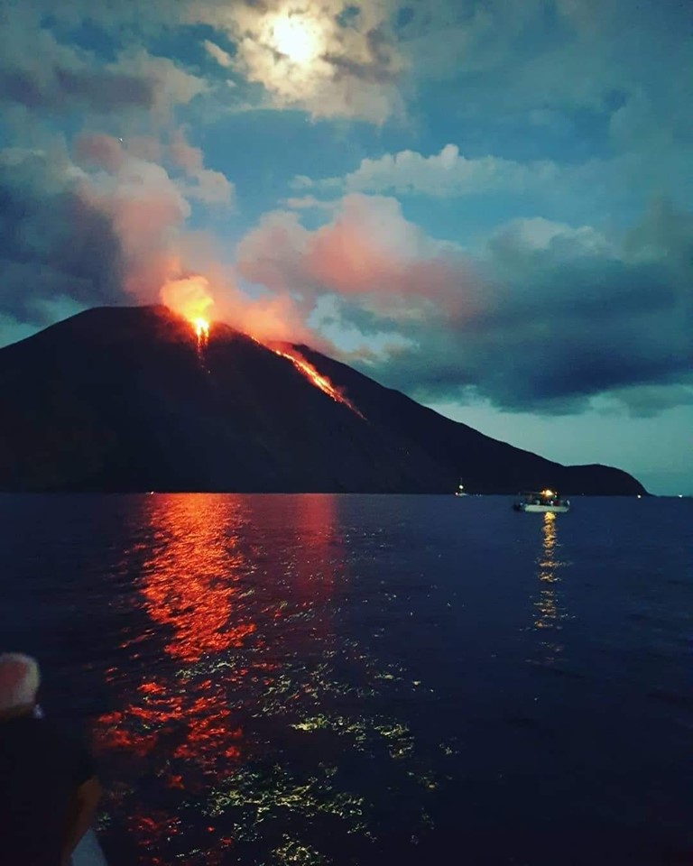
As this beautiful picture shows, from the evening, a new lava flow began to descend along the sciara del fuoco, while the explosive activity remains high. This confirms that the activity of the volcano is at very high values for the moment
Source : INGV Vulcani.
Photos : F. Murè. Pippo navigazione.
Alaska , Shishaldin :
AVO/USGS Volcanic Activity Notice
Current Volcano Alert Level: ADVISORY
Previous Volcano Alert Level: NORMAL
Current Aviation Color Code: YELLOW
Previous Aviation Color Code: GREEN
Issued: Friday, July 12, 2019, 1:09 PM AKDT
Source: Alaska Volcano Observatory
Location: N 54 deg 45 min W 163 deg 58 min
Elevation: 9373 ft (2857 m)
Area: Aleutians
Volcanic Activity Summary:
The Alaska Volcano Observatory is raising the Aviation Color Code to YELLOW and the Alert Level to ADVISORY at Shishaldin Volcano. This change is based on increased seismic activity over the past few weeks, accompanied by elevated surface temperatures at the summit in satellite data. A pilot also observed incandescence in the summit crater during a recent overflight. These observations represent a departure from normal background activity at Shishaldin, but do not necessarily indicate that an eruption will occur.
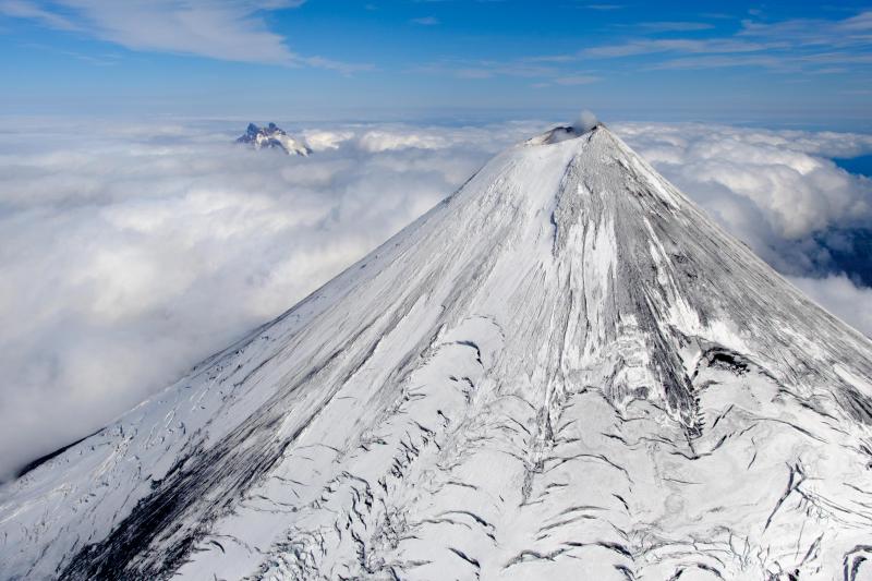
Aerial view of Shishaldin volcano with the Isanotski volcano in the background, taken from a helicopter overflight during field geology work.
Shishaldin is monitored by local seismic and infrasound sensors, satellite data, a web camera, a telemetered geodetic network, and distant infrasound and lightning networks.
Recent Observations:
[Volcanic cloud height] None
[Other volcanic cloud information] N/A
Remarks:
Shishaldin volcano, located near the center of Unimak Island in the eastern Aleutian Islands, is a spectacular symmetric cone with a base diameter of approximately 16 km (10 mi). A 200-m-wide (660 ft) funnel-shaped summit crater typically emits a steam plume and occasional small amounts of ash. Shishaldin is one of the most active volcanoes in the Aleutian volcanic arc, with at least 54 episodes of unrest including over 24 confirmed eruptions since 1775. Most eruptions are relatively small, although the April-May 1999 event generated an ash column that reached 45,000 ft above sea level.
Source : AVO
Photo : Loewen, Matt , 08/2018.
Mexico , Colima :
Weekly Technical Bulletin of the activity of the Colima Volcano, Date: 12 July 2019 Bulletin n ° 129
Seismic activity.
During the past week, 11 high-frequency (HF) events, 8 long-period (LP) events, 14 landslides, 2 low intensity explosions and 18.3 min of low amplitude tremor were automatically recorded. There were also 5 small lahars in the Montegrande ravine.
Visual observations.
During the reporting period, small explosions and intermittent releases of steam and gas mainly from the northeast side of the crater continue to be recorded. The visibility of this week allowed to observe the volcano on very little time.
When cloudiness permitted, the fixed thermal camera located south of the volcano detected thermal anomalies related to the smoking activity that occurred during the last week.
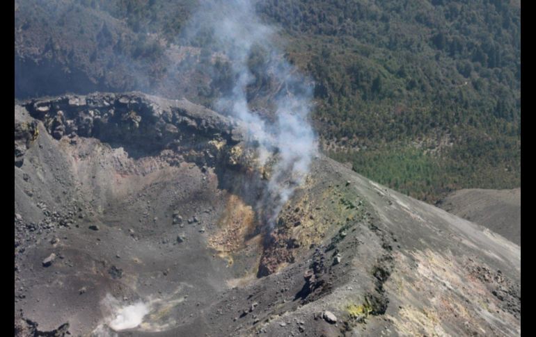
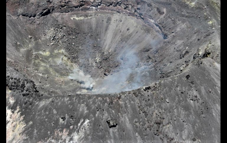
An observation flight was also conducted on July 8th. There was no noticeable change in the crater after the last flyby, but there is a slight increase in diameter, probably due to subsidence. Other observations include a collapse of materials from the western exterior wall and small mass movements in the crater.
A decrease in the temperature inside the crater has been detected. End-May flights had recorded maximum temperatures of 250 ° C, while the last flight detected a maximum temperature of 116 °.
The zone of fumaroles with the strongest activity remains the interior wall located to the Northeast of the crater. However, maximum temperatures decreased from 202 ° C in May to 169 ° C (apparent temperature).
Geochemistry.
No SO2 flow measurements were performed during the last week.
Remote perception.
No thermal anomalies detected by the MIROVA satellite system were observed during the last week.
Diagnostic.
The volcano maintains an explosive activity of low intensity. The occurrence of these events indicates that the gas associated with the moving magma has reached superficial levels. This activity can continue and increase in intensity over the next few days or weeks. The staff in charge of monitoring the volcano is attentive to possible changes and changes in activity.
Source : UCOL.
Photos : Protección Civil Jalisco, Avril 2019.
Indonesia , Merapi :
ACTIVITY REPORT From MONT MERAPI, 5 to 11 July 2019.
I. RESULTS OF OBSERVATION
Visual
The weather around Mount Merapi is generally sunny in the morning while the evening is cloudy and foggy. There is a white smoke, weak to thick with low pressure. The maximum smoke height of 50 m was observed from the observation post of Mount Merapi in Babadan on 6 July 2019 at 06:00 WIB.
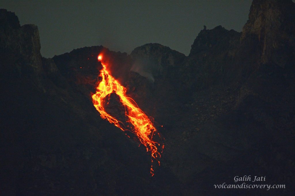
Morphological analysis of the crater area based on photographs of the Southeast sector did not show any significant morphological changes. The volume of the lava dome is based on an analysis of aerial photographs with drones carried out on July 4, 2019, with a volume of 475,000 m3. Since January 2019, the volume of the lava dome is relatively constant due to the fact that most magma extrusions collapse directly into the upper parts of Kali Gendol as lava avalanches and hot clouds.
Seismicity.
This week, the seismicity of Mount Merapi recorded:
4 earthquakes (DG),
10 shallow volcanic earthquakes (VTB),
39 multiple phase earthquakes (MP),
143 avalanche earthquakes (RF),
27 low frequency earthquakes (FL)
10 tectonic earthquakes (TT).
The intensity of tremor this week was higher than last week.
Deformation.
The deformation of Mount Merapi, monitored by EDM and GPS this week, showed no significant change.
Rain and lahars.
This week, there were no reports of rain, lahars and increased flow in the rivers downstream of Merapi.
II. CONCLUSION AND ADVICE
Based on the results of the visual and instrumental observations, it was concluded that:
1. The lava dome is currently in a stable state with a relatively low growth rate.
2. The volcanic activity of Mount Merapi is still quite high and is at the activity level « WASPADA ».
Source : BPPTKG
Photo : Yohannes Tyas Galih Jati / volcanodiscovery

