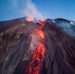
October 17 , 2018.
Chile , Copahue :
Special Report on Volcanic Activity (REAV), Del Bio Bio Region, Copahue Volcano, October 16, 2018, 08:50 Local Time (Continental Chile).
The National Geological and Mining Service of Chile (Sernageomin) publishes the following PRELIMINARY information, obtained from monitoring equipment of the National Volcanic Monitoring Network (NVRN), processed and analyzed at the Volcanological Observatory of the Southern Andes (OVDAS) :
Today, Tuesday, October 16, 2018, 07:50 local time (10:50 UTC), monitoring stations installed near the Copahue volcano recorded 49 earthquakes associated with a process of fracturing rocks (Volcano-tectonic type).
The characteristics of the earthquakes of higher energy, after their analysis are as follows:
TIME OF ORIGIN: 07h50 Local time (10h50 UTC).
LATITUDE: 37.48.77 ‘S
LONGITUDE: 71.4.980 ‘W
DEPTH: 4,4KM
LOCAL MAGNITUDE: 2.7 (ML)
OBSERVATIONS:
At the time of issuing this report, the event was not confirmed as felt by the population. The superficial activity of the volcano did not show any changes.
The level of volcanic technical alert remains at the level: Yellow.
Sernageomin continues online monitoring and will inform in a timely manner about any changes observed.
Source : Sernageomin
Vanuatu , Ambrym :
16°15’00”S 168°07’00”E
Summit Elevation 4377ft (1334m)
Current Vanuatu Volcano Alert Level: Level 2
Ambrym volcano is continuing in the major unrest state. The Volcanic Alert Level remains at Level 2 .
The volcanic unrest continues at Ambrym. The volcanic activity is likely to continue at similar levels, consistent with Volcanic Alert Level 2. The Danger Zone for life safety is limited at the Permanent Exclusion Zone at Benbow which is about 1 km around Benbow crater and the Danger Zone A at Marum (including Maben-Mbwelesu, Niri-Mbwelesu and Mbwelesu) which is about 2.7 km around Marum crater .
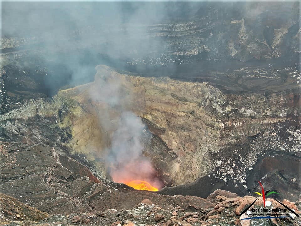
Observations and the analysis of seismic data in September 2018 confirm a continuous volcanic activity in the major unrest state and is confined in Benbow and Marum craters. The activity consists of ongoing active lava lake inside the active vents inducing sustained substantial degassing and emission of steam cloud. Gas will be continue to be smelt while approaching the volcanic area and craters.
Alert Level for Ambrym volcano has been at the Level 2 since 7 December 2017. The current observations are consistent with the Alert Level 2 activity. Level 2 indicates ‘Major Unrest; Danger Zone is at 1 km around Benbow crater and 2.7 km around Marum’ .
Ambrym volcano is a very active volcano in Vanuatu with large caldera of 12 km diameter and 2 active craters Marum and Benbow. The volcano has been active during historical time at both summit and flank vents, producing moderate explosive eruptions and lava flows that have reached the coast. The larger events include eruptions in 1820, 1894, 1913 or 1929. Over the last seventy years, there are no extra-caldera eruptions. The eruption of 2015 is focused in the caldera.
All tourism agencies, local authorities, people of Ambrym and the general public are reminded not to access the Permanent Exclusion Zone which is about 1 km radius from Benbow and Danger Zone A is about 2.7 km radius from Marum . In these areas volcanic gases may occasionally be present in abundance .
Villages located further away may experience volcanic hazards from gas and steam plumes, especially villages exposed to prevailing trade winds direction.
The Vanuatu Meteorology and Geohazards Department will continue to closely monitor this volcano activity. More information will be provided accordingly as soon as necessary.
Source : Geohazard.
Photos : Haos Blong Volkeno
La Réunion , Piton de la Fournaise :
Activity Bulletin from Tuesday, October 16, 2018 at 1:30 pm (local time).
The eruption started on September 15th at 4:25 am local time continues. The intensity of the volcanic tremor (indicator of surface eruptive intensity) is still very slightly decreasing .
The pistons have disappeared gradually, and since this morning 03:45 local time, no more piston gas (« gas puff » or « tremor burst ») is recorded at the eruptive site.
– No volcano-tectonic earthquake was recorded during the day of October 15, nor during the current day.
– Inflation (swelling) of the building is always recorded. This inflation reflects the pressurization of a localized source beneath the summit craters (Bory-Dolomieu) at a depth of 1-1.5 km, related to the recharge of the superficial reservoir by deeper magma.
– The surface flow rates could not be estimated today because of poor surface flow and poor weather conditions on site.
– Due to poor weather conditions on site, no reconnaissance on the ground could be done today.
Alert level: Alert 2-2 – Eruption in the Enclos .
Source : OVPF . http://www.ipgp.fr/fr/ovpf/bulletin-dactivite-mardi-16-octobre-2018-a-13h30-heure-locale
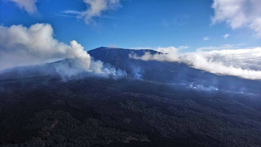
Photo : Eli Zabeth taken Saturday October 13th since the Piton de Bert / Fournaise info.
Colombia , Chiles / Cerro Negro :
Weekly activity bulletin of volcanoes Chiles and Cerro Negro.
The activity level of the volcanoes is maintained at the level: YELLOW LEVEL ■ (III): CHANGES IN THE BEHAVIOR OF THE VOLCANIC ACTIVITY.
Following the activity of the CHILE volcanoes and CERRO NEGRO, the COLOMBIAN GEOLOGICAL SERVICE (SGC) reports that:
During the period evaluated, between 9 and 15 October 2018, seismic activity in the Chiles – Cerro Negro volcano region showed a decrease from 3,460 earthquakes of the volcano-tectonic type that occurred during the week. previous 2 548 events this week, although this activity has remained at high levels.
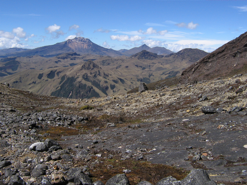
The predominant seismicity has remained linked to fracturing processes located in different sources: one towards the southwestern sector of the Chiles volcano, at a maximum distance of 4 km and at a depth of less than 6 km from the Chiles summit ( 4700 m altitude); and another stretched towards the south-eastern sector of the volcanic complex, at distances between 6 and 16 km and depths between 9 and 14 km. Two of the earthquakes that occurred on October 10 would have been felt by the inhabitants of the Chiles volcano’s influence zone, the first at 4:49. with a magnitude of 2.1 on the Richter scale and the second at 5:25 with a magnitude of 3.
The Colombian Geological Service and the Institute of Geology of the National Polytechnic School of Ecuador closely monitor the evolution of this seismic activity and the volcanic phenomenon and inform in a timely manner on the detected changes.
Source : SGC
Guatemala , Fuego :
Type of activity: Vulcanian
Morphology: Composite Stratovolcano
Geographical location: 14 ° 28’54˝ N Latitude; 90 ° 52’54˝ Longitude O.
Height: 3,763msnm.
Weather conditions: Clear.
Wind: from the north-east <5 km / h.
Precipitation: 28.6 mm.
Activity:
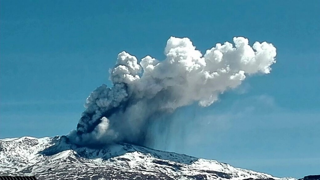
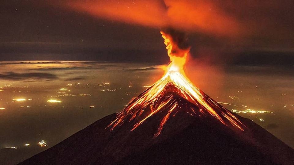
Maintains moderate white fumaroles at 4,400 m altitude that disperse to the west, south and southwest. There are 8 to 11 low to moderate explosions per hour. They produce gray columns from 4,600 to 4,700 meters above sea level, forming plumes 10 to 12 km long in the dominant directions. These explosions raise incandescent materials from 100 to 200 meters above the crater, generate weak to moderate avalanches around the crater that move in the main ravines: Santa Teresa, Ceniza and Las Lajas. Falls of fine particles of ash are reported to Panimache I, Morelia, El Porvenir, Santa Sofia, Sangre de Cristo, Palo Verde, Yepocapa and other regions.
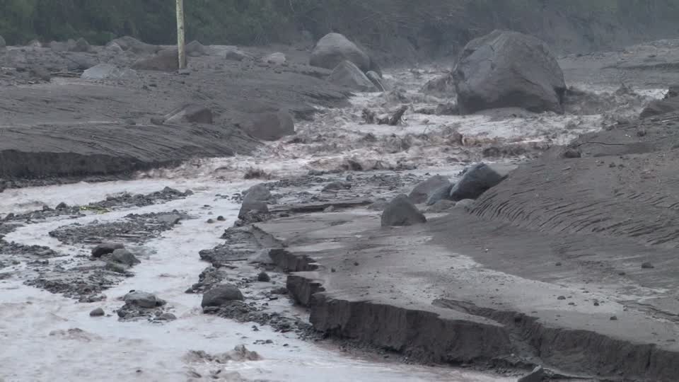
The accumulation of last-day rains and current rainfall in areas of Fuego Volcano are currently generating descent of moderate lahars in Las Lajas Canyon, the FG12 weather station (located in the upper part of the canyon). ) at that time records 25 mm of precipitation.
This lahar descends hot, releasing a smell of sulfur in its path, with volcanic materials, ashes, sand and blocks of 2 to 3 meters in diameter that vibrate the ground and generate sounds of rock interception. These materials have been deposited by constant eruptive activity and it is expected that this activity will continue to be present.
Source : Insivumeh

