November 6 , 2026.
Hawaii , Kilauea :
HVO/USGS Volcanic Activity Notice
Current Volcano Alert Level: WATCH
Current Aviation Color Code: ORANGE
Issued: Thursday, November 5, 2026, 12:29 PM HST
Source: Hawaiian Volcano Observatory
Notice Number: 2026/H514
Location: N 19 deg 25 min W 155 deg 17 min
Elevation: 4091 ft (1247 m)
Area: Hawaii
Summary:
Episode 56 of the ongoing Halemaʻumaʻu eruption began at 12:10 PM HST on November 5, 2026.
Volcanic Activity:
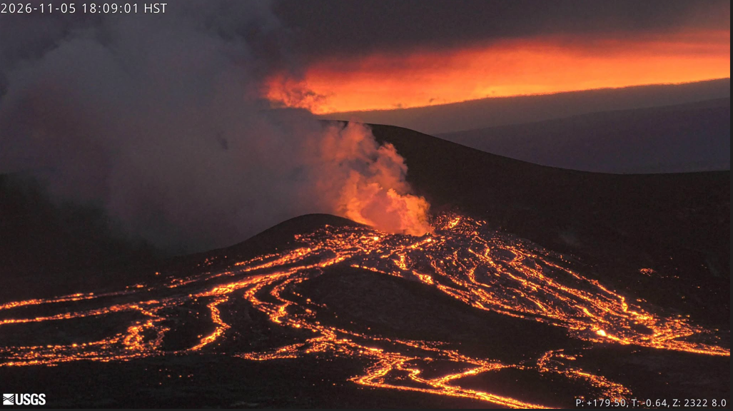
Episode 56 of lava fountaining in Halemaʻumaʻu began at the summit of Kīlauea began at 12:10 PM HST on November 5, 2026.
Lava fountain heights are relatively low at about 100 ft (30 meters), but will likely increase. Ground-level sensors near the eruptive vents indicate that winds are blowing from the northeast direction, which suggests that volcanic gas emissions and volcanic material may be distributed to the southwest direction from Halemaʻumaʻu.
Issued: Thursday, November 5, 2026, 2:34 PM HST
Summary:
Episode 56 of the ongoing Halemaʻumaʻu eruption continues at 2:15 PM HST on November 5, 2026. Fountain heights have reached about 660 feet (200 meters).
Volcanic Activity:
Episode 56 of lava fountaining in Halemaʻumaʻu, at the summit of Kīlauea, began at 12:10 PM HST on November 5, 2026, and continues as of this notice. The lava fountain has reached a maximum height of about 660 feet (200 meters).
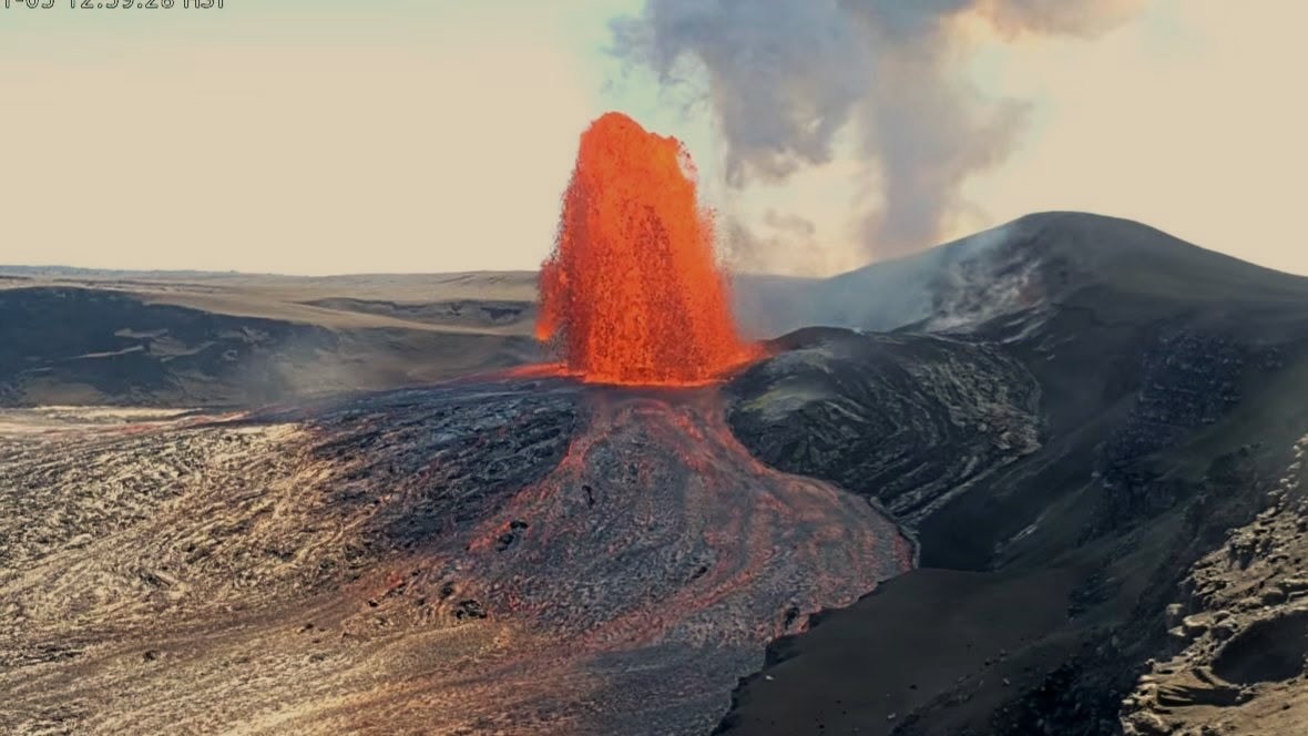
The National Weather Service and Washington VAAC report that the plume from this eruption is reaching 18,000 feet (5,500 meters) above sea level. Surface-level winds are blowing from the northeast direction, with upper level winds from the east-southeast, which suggests that volcanic gas emissions and volcanic material may be distributed between the southwest and northwest direction from Halemaʻumaʻu. The National Weather Service has issued a special weather statement.
All eruptive vents and lava flows are confined to Halemaʻumaʻu crater within Hawaiʻi Volcanoes National Park. Tephra fall from volcanic ash clouds is greatest within 3 miles (5 km) of the vents, lighter ash and Pele’s Hair may stay suspended for large distances from the vents.
Issued: Thursday, November 5, 2026, 6:21 PM HST
Summary:
Episode 56 of the ongoing Halemaʻumaʻu eruption ended abruptly at 6:01 P.M. HST on November 5, 2026.
Volcanic Activity:
Episode 56 of the ongoing Halemaʻumaʻu eruption ended abruptly at 6:01 P.M. HST on November 5, 2026, after about 6 hours of continuous lava fountaining. Additional details on this eruptive episode will be provided in the next official report.
Source et photos : HVO.
Indonesia , Bromo :
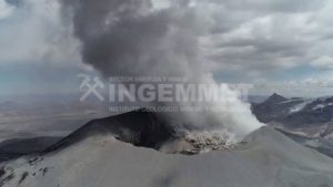
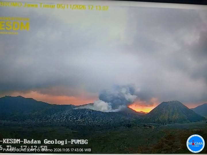
An eruption of Mount Bromo occurred on Thursday, November 5, 2026, at 5:11 PM WIB (Western Indonesian Time). A column of ash was observed, reaching a height of approximately 500 meters above the summit (about 2,829 meters above sea level). This column, which was gray in color and varied in density—ranging from light to dense—drifted toward the west. The eruption was recorded by a seismograph, showing a maximum amplitude of 23 mm and a duration of 46 seconds.
Seismic observations
1 eruptive earthquake, with an amplitude of 23 mm and a duration of 46 seconds.
4 low-frequency earthquakes, with an amplitude of 1 mm and a duration of 10 to 11 seconds.
6 hybrid (multi-phase) earthquakes, with an amplitude of 1 mm and a duration of 5 to 10 seconds.
1 continuous tremor, with an amplitude of 0.5 to 1 mm (predominantly 0.5 mm).
Recommendations
1. Local residents, visitors, tourists, and hikers are advised not to enter the area within a 1 km radius of the active crater of Mount Bromo.
2. Local residents, business owners, tourists, hikers, and tourism professionals in the vicinity of Mount Bromo should remain vigilant regarding the possibility of phreatic eruptions, which can occur suddenly, without any clear volcanic warning signs.
Source et photo : PVMBG.
Philippines , Mayon :
The Philippine Institute of Volcanology and Seismology (PHIVOLCS) reported elevated activity at Mayon during 28 October-4 November. Sulfur dioxide emissions averaged 1,413-3,360 tonnes per day. Moderate emissions generally rose 100 m above the summit and drifted SW, WSW, and WNW.
The seismic network recorded 35 and 101 daily volcanic earthquakes on 28 and 29 October, respectively, including 5-18 daily periods of volcanic tremor lasting 1-9 min. A moderately explosive eruption during 11h53-11h59 on 30 October generated a dense, billowing ash plume that rapidly rose 3 km above the summit and drifted WSW. The Alert Level remained was raised to 3 (on a 0-5 scale) and the public was reminded to stay away from the 6-km-radius Permanent Danger Zone (PDZ).
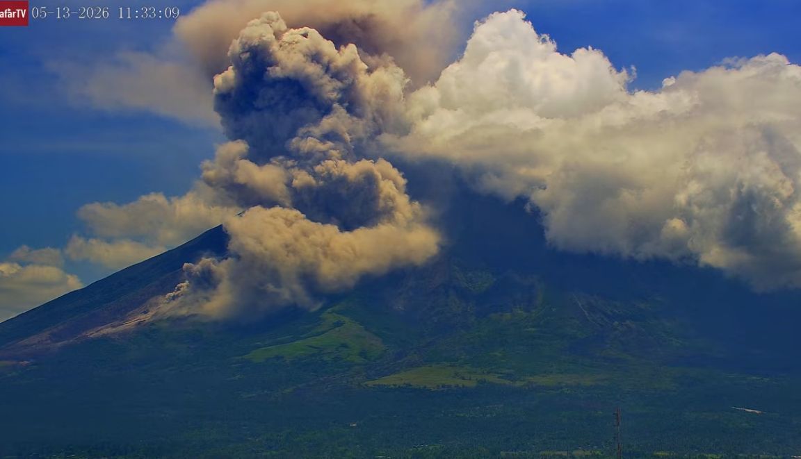
Ashfall was most notable in municipality of Guinobatan. According to the Philippine Red Cross and Civil Defense Bicol authorities evacuated 205 families from barangays Anoling and Quirangay in Camalig, within the PDZ.
There were 11-14 daily volcanic earthquakes recorded by the seismic network during 31 October-3 November, seven rockfall signals on 31 October, and one rockfall signal each day during 1-2 November. On 31 October an ash emission lasting 53 seconds was detected by the seismic network. In general, emissions that day rose as high as 200 m above the summit and drifted W. Minor Strombolian activity was visible on 2 November. At 0822 on 3 November minor Strombolian activity generated an ash plume that rose 1.6 km above the summit and drifted SW.
Sources: Philippine Institute of Volcanology and Seismology (PHIVOLCS), Philippine Red Cross, The National Disaster Risk Reduction and Management Council (NDRRMC) , GVP.
Photo : Afar tv.
Japan , Sakurajima :
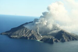
The Japan Meteorological Agency (JMA) reported ongoing eruptive activity at Minamidake Crater (Aira Caldera’s Sakurajima volcano) during 19-26 October. A total of 31 eruptive events and two explosions produced ash plumes that generally rose as high as 2.2 km above the crater. Large blocks were also ejected as far as 500 m from the vent during 26-30 October. Volcanologists conducted a field survey on 27 October and measured high sulfur dioxide emissions, averaging 2,100 tons per day. An explosion at 1949 on 30 October generated an ash plume that rose 3 km above the crater rim and ejected large blocks 800 above the rim. The Alert Level remained at 3 (on a 5-level scale), and the public was warned to be cautious within 1 km of both the Minimadake and Showa craters.
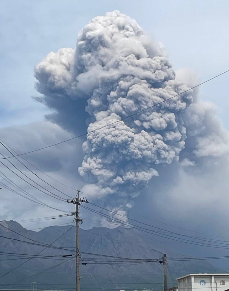
The Aira caldera in the northern half of Kagoshima Bay contains the post-caldera Sakurajima volcano, one of Japan’s most active. Eruption of the voluminous Ito pyroclastic flow accompanied formation of the 17 x 23 km caldera about 22,000 years ago. The smaller Wakamiko caldera was formed during the early Holocene in the NE corner of the caldera, along with several post-caldera cones. The construction of Sakurajima began about 13,000 years ago on the southern rim and built an island that was joined to the Osumi Peninsula during the major explosive and effusive eruption of 1914. Activity at the Kitadake summit cone ended about 4,850 years ago, after which eruptions took place at Minamidake. Frequent eruptions since the 8th century have deposited ash on the city of Kagoshima, located across Kagoshima Bay only 8 km from the summit. The largest recorded eruption took place during 1471-76.
Sources: Japan Meteorological Agency (JMA) , GVP.
Photo : Alex Tor ( archive )
Colombia , Chiles – Cerro Negro :
San Juan de Pasto, November 3, 2026, 4:35 PM
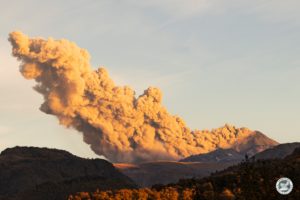
As part of the ongoing monitoring of the Chiles-Cerro Negro Volcanic Complex (CVCCN), the Colombian Geological Service (SGC)—an entity affiliated with the Ministry of Mines and Energy— reports the following:
During the period from October 27 to November 2, 2026, the primary changes in the monitored parameters, compared to the previous week, were as follows:
● Despite fluctuating seismic activity, an increase in the frequency of earthquakes was observed, accompanied by a decrease in the seismic energy released. The seismicity was primarily associated with rock-fracturing processes, followed by activity linked to fluid dynamics within the volcanic system.
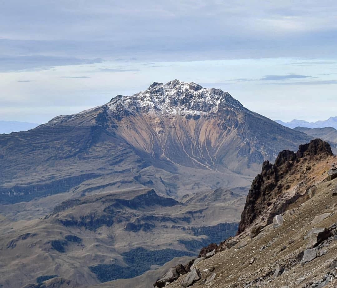
● Most of the earthquakes occurred within 2.5 km of the summit of the Chiles volcano (4,700 m above sea level), at depths ranging from 2 to 5 km, with a maximum magnitude of 1.3.
● Analysis of data collected by satellite sensors and ground-based stations continued to reveal variations linked to deformation processes within the volcanic zone.
Based on the assessment and correlation of the monitored parameters, the SGC recommends closely following the evolution of the situation through weekly bulletins and other information published via our official channels. It is also advised to adhere to the instructions provided by local and departmental authorities, as well as those from the National Unit for Disaster Risk Management (UNGRD).
Volcanic activity remains at the « Yellow » alert level: an active volcano exhibiting changes in the baseline behavior of monitored parameters, along with other manifestations.
Source et photo : SGC.