November 3 , 2026.
Hawaii , Kilauea :
HVO/USGS Volcanic Activity Notice
Current Volcano Alert Level: WATCH
Previous Volcano Alert Level: ADVISORY
Current Aviation Color Code: ORANGE
Previous Aviation Color Code: YELLOW
Issued: Monday, November 2, 2026, 2:06 PM HST
Source: Hawaiian Volcano Observatory
Notice Number: 2026/H509
Location: N 19 deg 25 min W 155 deg 17 min
Elevation: 4091 ft (1247 m)
Area: Hawaii
Summary:
Precursory low-level eruptive activity before episode 56 of the ongoing Halemaʻumaʻu eruption began around 11:43 a.m. HST on Monday, November 2.
Volcanic Activity:
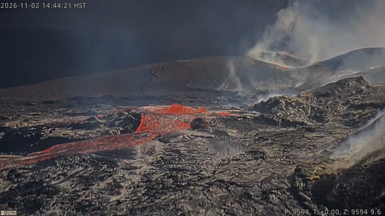
Precursory low-level activity preceding episode 56 of the ongoing Halemaʻumaʻu eruption began around 11:43 a.m. HST on Monday, November 2, with a large flow lava from the north vent. The initial rise of lava to the surface and overflow was passive with no spattering or low dome fountaining, indicating the magma was highly degassed. Minor spatter then began in the vent at about 12:30 p.m. HST. Drainback accompanied by vigorous spattering began at 12:45 p.m. HST and ended the initial overflow. Several minutes of vigorous spattering accompanied the rise of lava again within the north vent and preceded the onset of the second overflow at 1:00 p.m. HST. Once lava reached the surface and began overflowing the vent, spattering became subdued with minor spatter bursts less than 3 feet (1 meter) high on the lava pond surface.
Accordingly, HVO is raising the Alert Level for Kīlauea from ADVISORY to WATCH and the Aviation Color Code from YELLOW to ORANGE.
The forecast for episode 56 of lava fountaining to start is between this afternoon to November 7, revised from November 4-7 based on the onset of voluminous precursory overflows.
Another VAN will be published when lava fountaining episode 56 begins.
All eruptive vents and lava flows are confined to Halemaʻumaʻu crater within Hawaiʻi Volcanoes National Park. Tephra fall from volcanic ash clouds is greatest within 3 miles (5 km) of the vents, lighter ash and Pele’s Hair may stay suspended for large distances from the vents.
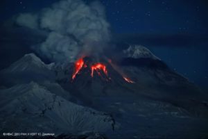
Source et photo : HVO
Italy , Stromboli :
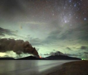
Statement on Stromboli activity, November 2, 2026, 13:50 (12:50 UTC).
The National Institute of Geophysics and Volcanology (INGV), Etna Observatory, reports that analysis of images from surveillance cameras reveals a lava overflow from the North crater area; this activity has produced a small lava flow located in the upper part of the Sciara del Fuoco. Typical Strombolian activity continues across both crater zones (North and Central-South) with varying intensity, accompanied by lava ejections (« spattering ») in the North crater area.
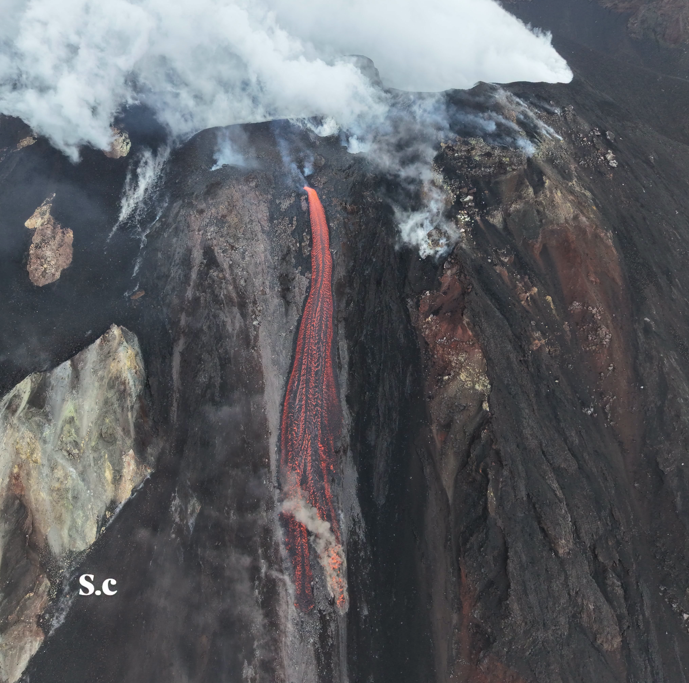
In terms of seismic activity, the temporal evolution of the mean amplitude of volcanic tremor shows no significant variations; despite slight oscillations, the values remain within the typical average range.
No notable changes have been reported regarding the frequency or amplitude of explosion-quakes.
The GNSS network, used to monitor ground deformation, shows no significant variations. The SELI tiltmeter, installed at Pizzo, has recorded a slight change of approximately 0.1 microradians, observed since 11:29 UTC.
Further updates will be provided as soon as possible.
Source : INGV
Photo : Stromboli stati d’animo / Sebastiano Cannavo
Indonesia , Karangetang :
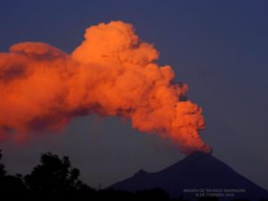
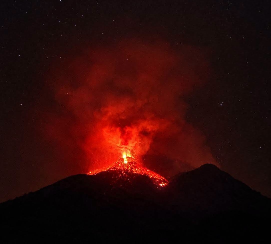
An eruption of Mount Karangetang, located in North Sulawesi, occurred on Sunday, November 1, 2026, at 21:18 WITA (Central Indonesian Time). The eruption was not observed visually. It was recorded on a seismogram with a maximum amplitude of 50.0 mm and an initial duration of approximately 88.0 seconds. The eruption was still ongoing at the time this report was written.
Seismic data:
37 harmonic tremors, with an amplitude ranging from 2.0 to 50.0 mm and a duration between 51.0 and 688.0 seconds.
53 earthquakes associated with rockfalls (avalanches), with an amplitude ranging from 2.0 to 9.0 mm and a duration between 29.0 and 129.0 seconds.
8 non-harmonic tremors, with an amplitude ranging from 4.0 to 30.0 mm and a duration between 46.0 and 108.0 seconds.
7 distant tectonic earthquakes, with amplitudes ranging from 3.0 to 50.0 mm and durations between 40.0 and 172.0 seconds.
120 earthquakes associated with emissions (gas/ash bursts), with amplitudes ranging from 3.0 to 50.0 mm and durations between 18.0 and 97.0 seconds.
4 deep volcanic earthquakes, with amplitudes ranging from 7.0 to 50.0 mm and durations between 7.0 and 16.0 seconds.
1 shallow volcanic earthquake, with an amplitude of 6.0 mm and a duration of 16.0 seconds.
Recommendations
(1) The public, as well as visitors and tourists, are advised not to approach, hike in, or conduct any activities within the designated danger zone. This zone encompasses a 1.5 km radius around the summits of Kawah Dua (North crater) and the main crater (South crater), as well as an extended sectoral zone reaching 2.5 km toward the south-southwest.
(2) Remain vigilant regarding the risk of lava avalanches and pyroclastic flows, which may occur at any time due to the instability of previously accumulated volcanic materials—which remain prone to collapse—particularly in the areas located to the south, southeast, west, and southwest.
Source : PVMBG.
Photo : Vulkany Swiata
Ecuador , Sangay :
DAILY STATUS REPORT FOR SANGAY VOLCANO, Sunday, November 1, 2026.
Information from the Geophysical Institute – EPN.
Surface activity level: Moderate; Surface trend: Unchanged
Internal activity level: Low; Internal trend: Unchanged
Seismicity: From October 31, 2026, 11:00 AM to November 1, 2026, 11:00 AM:
Seismicity:
The following is the count of seismic events recorded at the reference station:
Explosion (EXP): 0
Long-period (LP): 20
Emission tremor (TREMI): 14
Rainfall / Lahars:
Rain has been recorded in the vicinity of the volcano, though it has not triggered any mud or debris flows. **In the event of heavy rainfall, accumulated materials could be remobilized, generating mud and debris flows that would descend the volcano’s flanks and reach adjacent watercourses.**
Eruptive Plume / Ash:
Due to heavy cloud cover over the volcano, no gas or ash emissions could be observed via surveillance cameras or the GOES-19 satellite system. Furthermore, the Washington VAAC has issued no reports regarding ash clouds for this volcano.
Gas:
The MOUNTS satellite system detected 190.4 tonnes of sulfur dioxide (SO2), measured yesterday at 14:12 (local time).
Other Monitoring Parameters:
The MODIS satellite system recorded 2 thermal anomalies, and the MIROVA VIIRS satellite system recorded 1 over the past 24 hours.
Observation:
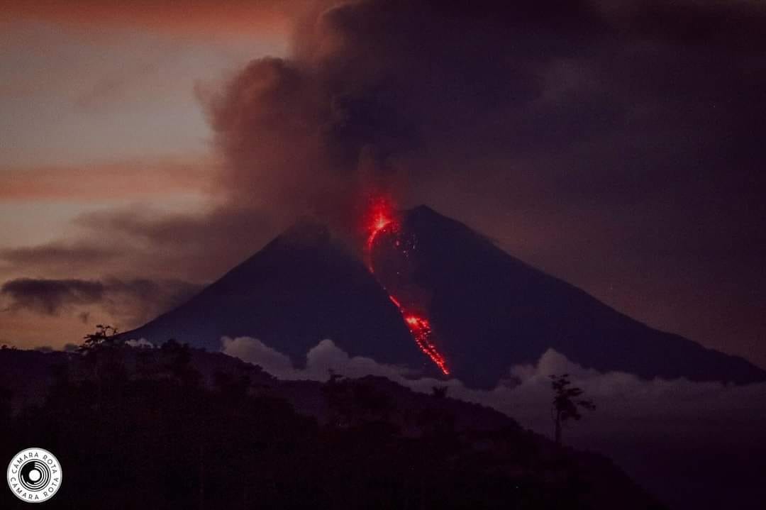
During the night and into the early morning, incandescence was observed within the crater via surveillance cameras. At the time of writing this report, the volcano is completely obscured by clouds.
Sources : Instituto Geofísico-Escuela Politécnica Nacional (IG-EPN), Secretaría de Gestión de Riesgos (SGR) .
Photo : Camara Rota
Alaska , Shishaldin :
AVO/USGS Volcanic Activity Notice
Current Volcano Alert Level: NORMAL
Previous Volcano Alert Level: ADVISORY
Current Aviation Color Code: GREEN
Previous Aviation Color Code: YELLOW
Issued: Monday, November 2, 2026, 1:29 PM AKST
Source: Alaska Volcano Observatory
Notice Number: 2026/A821
Location: N 54 deg 45 min W 163 deg 58 min
Elevation: 9373 ft (2857 m)
Area: Aleutians
Summary:
Unrest continues to slowly decline towards background levels with current activity not expected to lead to eruption.
Volcanic Activity:
Unrest at Shishaldin Volcano has declined slowly over the last 4 months. Current activity is near background for this volcano, and does not indicate increased likelihood of an eruption. Reflecting these conditions, the Aviation Color Code and Volcano Alert Level are being lowered to GREEN and NORMAL.
The current period of unrest began in August 2025 with increased sulfur dioxide emissions, seismic tremor, and infrasound signals consistent with explosions deep in the vent. This activity peaked between December 2026 and June 2026 with signals consistent with magma rising to shallow levels in the conduit. At no point was lava or eruptive activity observed at the surface.
The decline in activity observed in the last 4 months is consistent with magma withdrawing to deeper levels under the volcano. Shishaldin Volcano remains an active open-system volcano, with steam and gas emissions, as well as low level seismicity and infrasound still seen. Future eruptions will occur at the volcano, and these can occur with little to no warning.
Local seismic and infrasound sensors, web cameras, and a geodetic network are used to monitor Shishaldin Volcano. In addition to the local monitoring network, AVO uses nearby geophysical networks, regional infrasound and lightning data, and satellite data to detect eruptions.
Remarks:
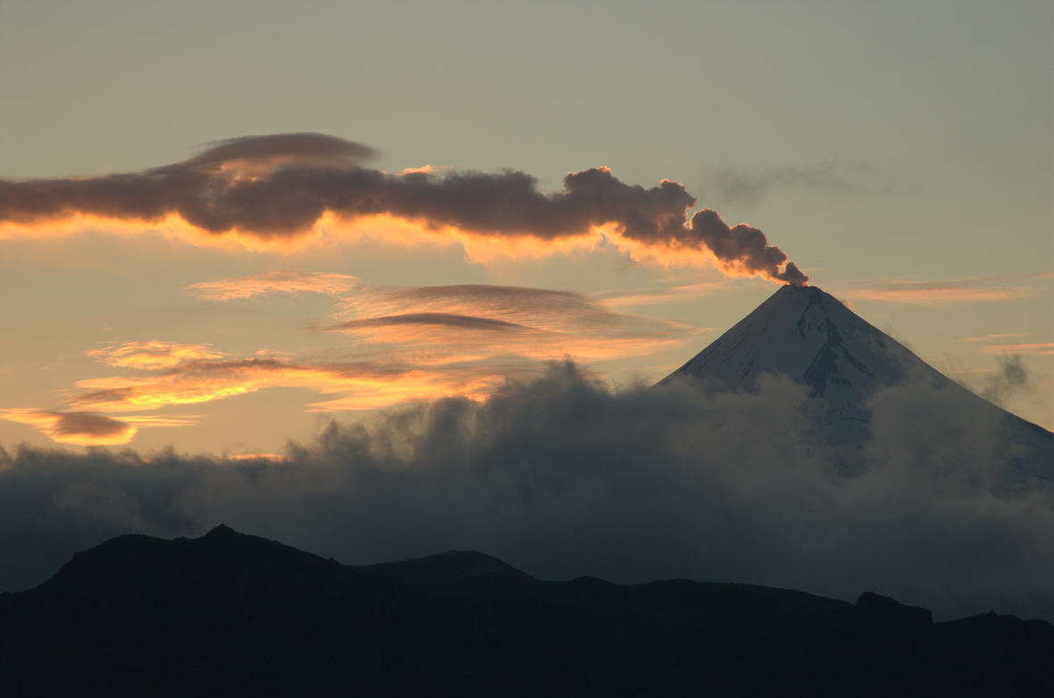
Shishaldin Volcano, located near the center of Unimak Island in the eastern Aleutian Islands, is a spectacular symmetric cone with a base diameter of approximately 10 miles (16 km). A 660 ft. (200 m) wide funnel-shaped summit crater typically emits a steam plume and occasional small amounts of ash. Shishaldin is one of the most active volcanoes in the Aleutian volcanic arc, with at least 54 episodes of unrest including over 26 confirmed eruptions since 1824. Most eruptions are relatively small, although activity during July–November, 2023 generated ash columns that reached between 30,000 ft (9 km) and 46,000 ft (14 km) above sea level.
Source : AVO.
Photo : Cyrus_Read ( archive).