October 20 , 2026.
Italy , Stromboli :
Statement on Stromboli activity, October 19, 2026, 08:46 (06:46 UTC)
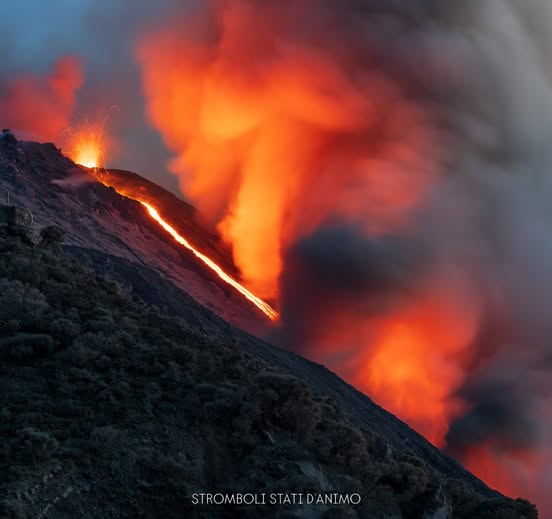
The National Institute of Geophysics and Volcanology (INGV), Osservatorio Etneo, reports that, based on an analysis of images from surveillance cameras, a lava overflow has been observed in the area of the North craters, beginning at approximately 06:00 UTC. The usual Strombolian activity continues.
In terms of seismic activity, the average amplitude of the volcanic tremor remains within a moderate range, with a slight increase observed starting at 05:15 UTC.
There has been a slight rise in both the frequency and amplitude of « explosion quakes. »
Regarding ground deformation, no significant changes have been recorded. The summit tiltmeter (SELI) has detected a very minor variation—on the order of 0.05 microradians—beginning at approximately 05:15 UTC.
Further updates will be provided as soon as possible.
Source : INGV.
Photo : Stromboli stati d’animo / Sebastiano Cannavo
Indonesia , Anak Krakatau :
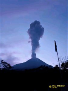
An eruption of Mount Anak Krakatau occurred on Monday, October 19, 2026, at 23:41 UTC (06:41 local time). The height of the eruption column could not be observed. The eruption was recorded by a seismograph, with a maximum amplitude of 67 mm and a duration of 10 minutes.
VOLCANO OBSERVATORY NOTICE FOR AVIATION – VONA
Issued : October 19 , 2026
Volcano : Anak Krakatau (262000)
Current Aviation Colour Code : ORANGE
Previous Aviation Colour Code : orange
Source : Anak Krakatau Volcano Observatory
Notice Number : 2026KRA035
Volcano Location : S 06 deg 06 min 07 sec E 105 deg 25 min 23 sec
Area : Lampung, Indonesia
Summit Elevation : 502 FT (157 M)
Volcanic Activity Summary :
Eruption at 2341 UTC (0641 local).
Volcanic Cloud Height :
Ash-cloud is not observed.
Other Volcanic Cloud Information :
Ash-cloud is not observed.
Remarks :
Eruption and ash emission is continuing. Eruption recorded on seismogram with maximum amplitude 67 mm. Tremor recorded on seismogram with maximum amplitude 10 mm.
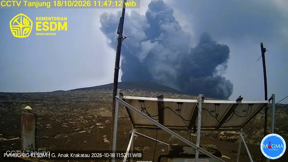
Seismic observations
13 eruption-related earthquakes, with amplitudes ranging from 46.5 to 67 mm and durations between 25 and 525 seconds.
10 emission-related earthquakes, with amplitudes ranging from 28.5 to 52 mm and durations between 23 and 30 seconds.
3 low-frequency earthquakes, with amplitudes ranging from 17 to 43 mm and durations between 9 and 13 seconds.
36 hybrid/polyphase earthquakes, with amplitudes ranging from 7 to 53 mm and durations between 6 and 16 seconds.
31 shallow volcanic earthquakes, with amplitudes ranging from 12 to 51 mm and durations between 8 and 21 seconds.
2 deep volcanic earthquakes, with amplitudes ranging from 45.5 to 50 mm and durations between 13 and 22 seconds.
1 continuous tremor, with an amplitude ranging from 3 to 25 mm (predominantly 5 mm).
Recommendations
1. Populations living in the vicinity of the Anak Krakatau volcano, as well as visitors, tourists, and hikers, are prohibited from entering or conducting any activities within a 5 km radius of the Anak Krakatau eruptive center.
2. Populations living in the vicinity of the Anak Krakatau volcano, as well as visitors and tourists, are prohibited from entering or conducting any activities within a 1 km radius of the new islands located in the northwest and southeast sectors of the Anak Krakatau volcano.
Source et photo : PVMBG.
Chile / Argentina , Laguna del Maule :
SPECIAL REPORT ON VOLCANIC ACTIVITY, October 17, 2026
The Argentine Geological and Mining Service (SEGEMAR), through its Argentine Volcanic Monitoring Observatory (OAVV), reports that today, Saturday, October 17, 2026, at 8:40 PM local time (11:40 PM UTC), volcanic monitoring stations installed in the vicinity of the Laguna del Maule volcanic complex recorded a volcano-tectonic (VT) seismic event, associated with the fracturing of rock within the volcanic system.
Event Information
Origin time: 8:40 PM local time (11:40 PM UTC)
Latitude: -36.0855°
Longitude: -70.4767°
Depth: 4.0 km
Local magnitude: 3.3 (ML)
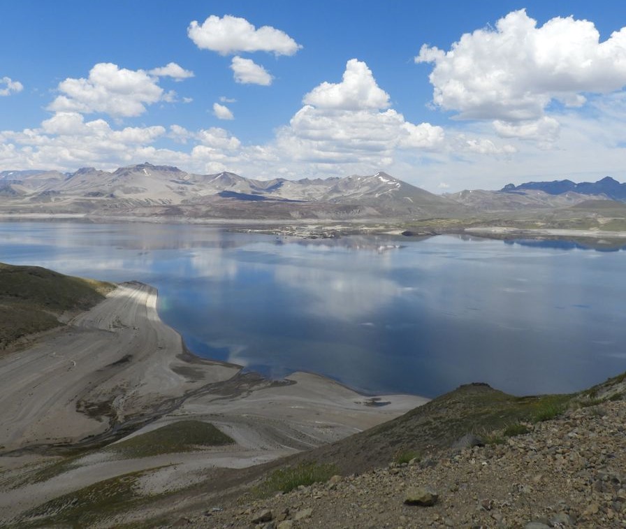
OBSERVATIONS:
Following this event, a few other phenomena with similar characteristics—though of lesser magnitude—were recorded. It should be noted that no surface activity or variations in other monitored parameters were detected at the volcanic complex in connection with this event. This episode had no impact on Argentine territory; furthermore, no reports were received from populations living in the vicinity.
CONCLUSIONS:
The technical alert level remains in place, and monitoring of the volcano continues, with constant communication maintained with Chile’s Southern Andes Volcanological Observatory (OVDAS). Any further developments will be reported.
Source et photo : Segemar.
Colombia , Galeras :
San Juan de Pasto, October 13, 2026, 4:10 PM
As part of the ongoing monitoring of activity at the Galeras volcano, the Colombian Geological Service (SGC)—an agency under the Ministry of Mines and Energy—reports the following:
During the week of October 6 to 12, 2026, the primary variations in monitored parameters, compared to the previous week, were as follows:
● Amidst generally stable volcanic behavior, an increase was recorded in both the frequency of seismic events and the total seismic energy released. The majority of this seismicity was associated with rock-fracturing processes, while seismicity linked to fluid dynamics decreased.
● The seismic activity was distributed around the volcanic edifice—primarily to the northeast—at distances ranging from 2 to 17 km and at depths between 5 and 15 km below the summit (4,276 meters above sea level).
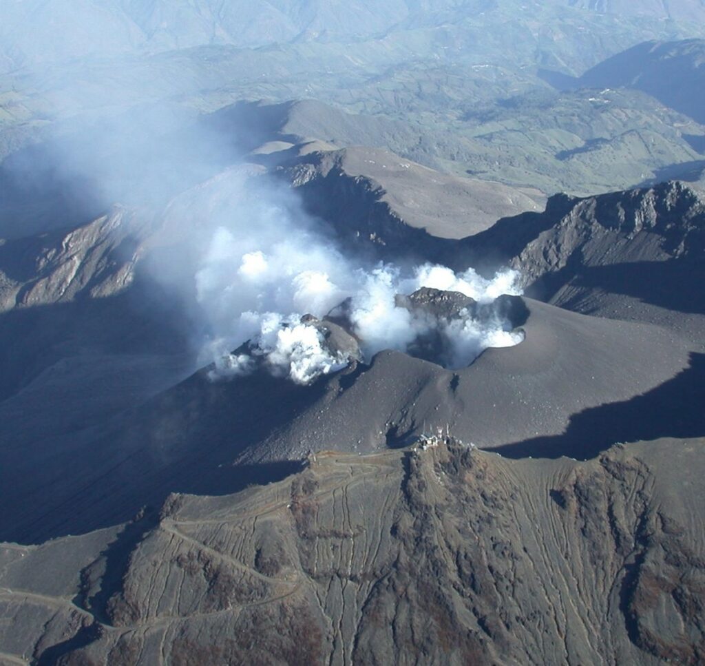
● Among the recorded seismic events, one occurred on October 12 at 8:27 PM, with a local magnitude of 2.6. It was located 6.6 km west of the volcano at a depth of 7.3 km below the summit (4,276 m above sea level). This event was felt by residents in the area surrounding the volcano.
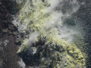
● Gas emissions—appearing as low-altitude, white-colored plumes—were observed; their dispersion followed the direction of the wind. These emissions originated primarily from the « El Paisita » (to the north) and « Las Chavas » (to the west) fumarole fields, as well as from the main crater.
In light of the above, the SGC recommends closely monitoring the situation through weekly bulletins and other information released via our official channels. Furthermore, the public is advised to follow the instructions provided by local and departmental authorities, as well as those from the National Unit for Disaster Risk Management (UNGRD).
Volcanic activity remains at the « Yellow » alert level: the volcano is active, showing changes in the behavior of monitored parameters relative to their baseline levels, alongside other manifestations.
Source et photo : SGC.
Guatemala , Santiaguito :
Atmospheric conditions: Clear sky
Wind: From the northeast
Precipitation: -99 mm
Volcanic activity:
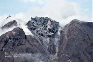
Activity is being recorded at the « Caliente » dome of the Santa María-Santiaguito volcanic complex, with white degassing fumaroles rising approximately 700 meters above the crater. Explosions of low to moderate intensity are occurring at a frequency of 1 to 4 per hour; these generate columns of gas and ash reaching an altitude of 3,400 meters (11,155 feet), which are drifting toward the southwest, driven by the wind.
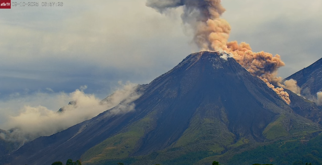
During the night and into the early morning hours, incandescence was observed at the dome. On the southwest flank, the extrusion of lava blocks continues, triggering avalanches and short-range pyroclastic flows, some of which are reaching the base of the dome.
Due to the significant accumulation of rock material on the « Caliente » dome and on the promontory overlooking the lava flow on its southwest flank, the formation of long-range pyroclastic density currents—which could travel in any direction—cannot be ruled out. It is therefore recommended to follow the guidelines provided in special bulletin BESAN-002-2026.
Furthermore, precipitation could mobilize material accumulated in ravines and riverbeds, potentially triggering lahars later this afternoon or during the night. It is advised to avoid ravines and riverbeds, and to comply with the instructions set out in special bulletin BESAN-016-2026.
Source : Insivumeh .
Photo : Afar tv