October 13 , 2026.
Italy , Stromboli :
Statement on Stromboli activity, October 12, 2026, 22:04 (20:04 UTC).
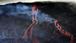
The National Institute of Geophysics and Volcanology (Osservatorio Etneo) reports that, based on the analysis of surveillance camera images, a lava overflow from the North crater area has been observed since approximately 19:00 UTC. Ordinary Strombolian activity continues.
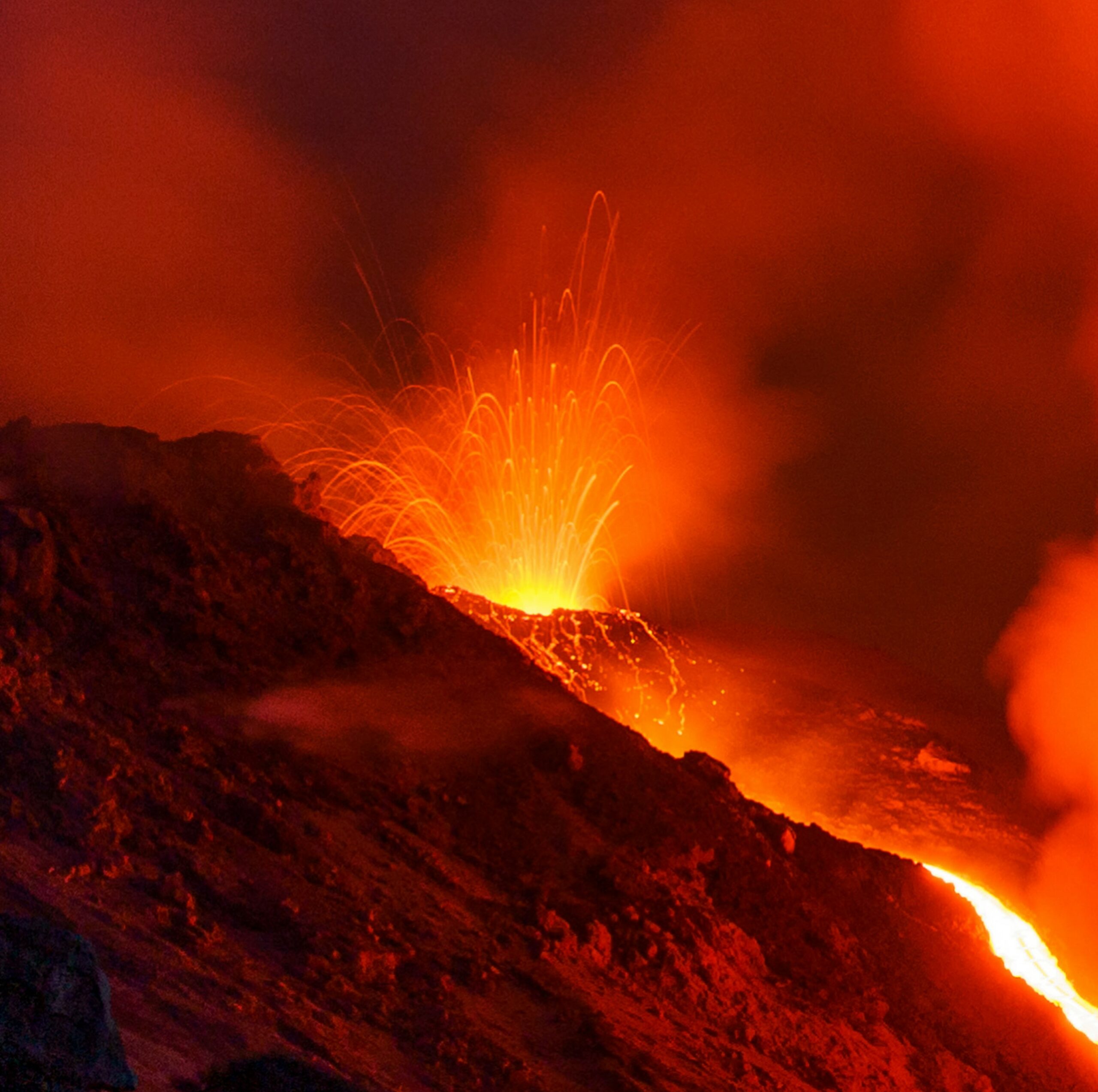
Seismically, the temporal evolution of the average volcanic tremor amplitude shows no significant variations and remains within the range of average values. No significant changes have been reported regarding explosion quakes. The GNSS-HF network shows no significant variations. The SELI tiltmeter installed at Pizzo has indicated a slight variation of approximately 0.1 microradians since 19:00 UTC.
Further updates will be provided as soon as possible.
Source : INGV.
Photo : Stromboli stati d’animo / Sebastiano Cannavo
Ecuador , Sangay :
DAILY STATUS REPORT FOR SANGAY VOLCANO, Monday, October 12, 2026.
Information from the Geophysical Institute – EPN.
Surface activity level: Moderate | Surface trend: Unchanged
Internal activity level: Low | Internal trend: Unchanged
Seismicity: From October 11, 2026, 11:00 AM to October 12, 2026, 11:00 AM:
Seismicity:
Here is the count of seismic events recorded at the reference station:
Explosion (EXP): 6
Long-period (LP): 6
Emission tremor (TREMI): 8
Rainfall / Lahars:
Precipitation recorded in the area did not trigger lahars. **Heavy rains can remobilize accumulated material and generate mud and debris flows (lahars), which may descend the volcano’s flanks and flow into adjacent rivers.**
Emission plume / ash:
Due to cloud cover in the area, it was not possible to observe ash emissions via the surveillance camera system or by satellite (GOES-19). The Washington VAAC has not issued any reports regarding this volcano.
Gas:
The MOUNTS satellite system detected 192.5 tonnes of sulfur dioxide (SO2), measured yesterday at 13:49 (local time).
Other monitoring parameters:
The MIROVA VIIRS satellite system reported 3 thermal anomalies, and the FIRMS satellite system detected 7 thermal anomalies.
Observation:
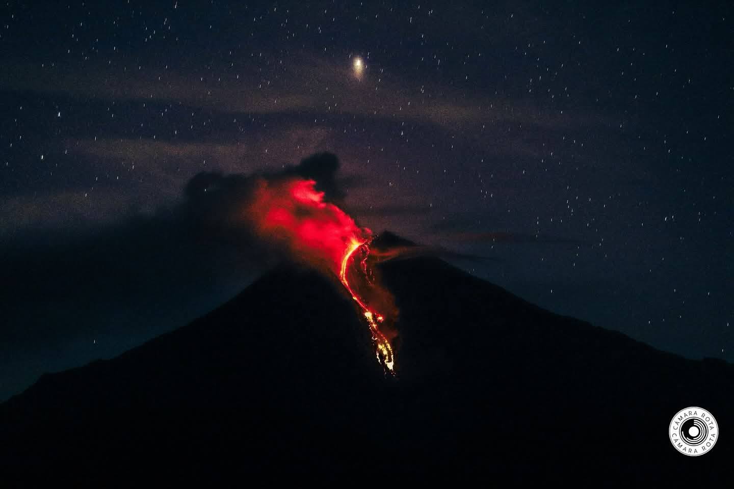
During the night and early morning hours, the camera system captured several episodes of incandescence at the crater, as well as the descent of material to a point 100 meters below the summit. At the time of writing, the volcano remained largely obscured by clouds.
Alert level: Yellow
Sources : Instituto Geofísico-Escuela Politécnica Nacional (IG-EPN), Secretaría de Gestión de Riesgos (SGR) .
Photo : Camara Rota / FB.
Chile / Argentina , Nevados de Chillán :
SPECIAL REPORT ON VOLCANIC ACTIVITY, October 13, 2026
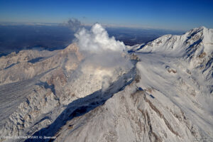
The Argentine Geological and Mining Service (SEGEMAR), through its Argentine Volcanic Monitoring Observatory (OAVV), reports that during the night—specifically at 01:47 local time (04:47 UTC) on Tuesday, October 13, 2026—volcanic monitoring stations near the Nevados de Chillán volcanic complex (managed by OVDAS) recorded an earthquake associated with fluid dynamics within the volcanic system (a « long-period » or LP earthquake).
Seismic event information
Origin time: 01:47 local time (04:47 UTC)
Reduced displacement: 325.3 cm².
OBSERVATIONS:
At the time of this report’s publication, « long-period » (LP) activity—associated with fluid movement within the volcano and exhibiting characteristics similar to the reported event—continues to be recorded.
In this context, the occurrence of future events that are similar or of greater energy cannot be ruled out. Based on available information, the recorded events have remained localized near the active craters; no impact on populations in Argentine territory has been observed to date.
CONCLUSIONS
The technical alert level remains in effect, and volcano monitoring continues in constant communication with Chile’s Southern Andes Volcanological Observatory (OVDAS); any developments in the situation will be reported.
Source : Segemar.
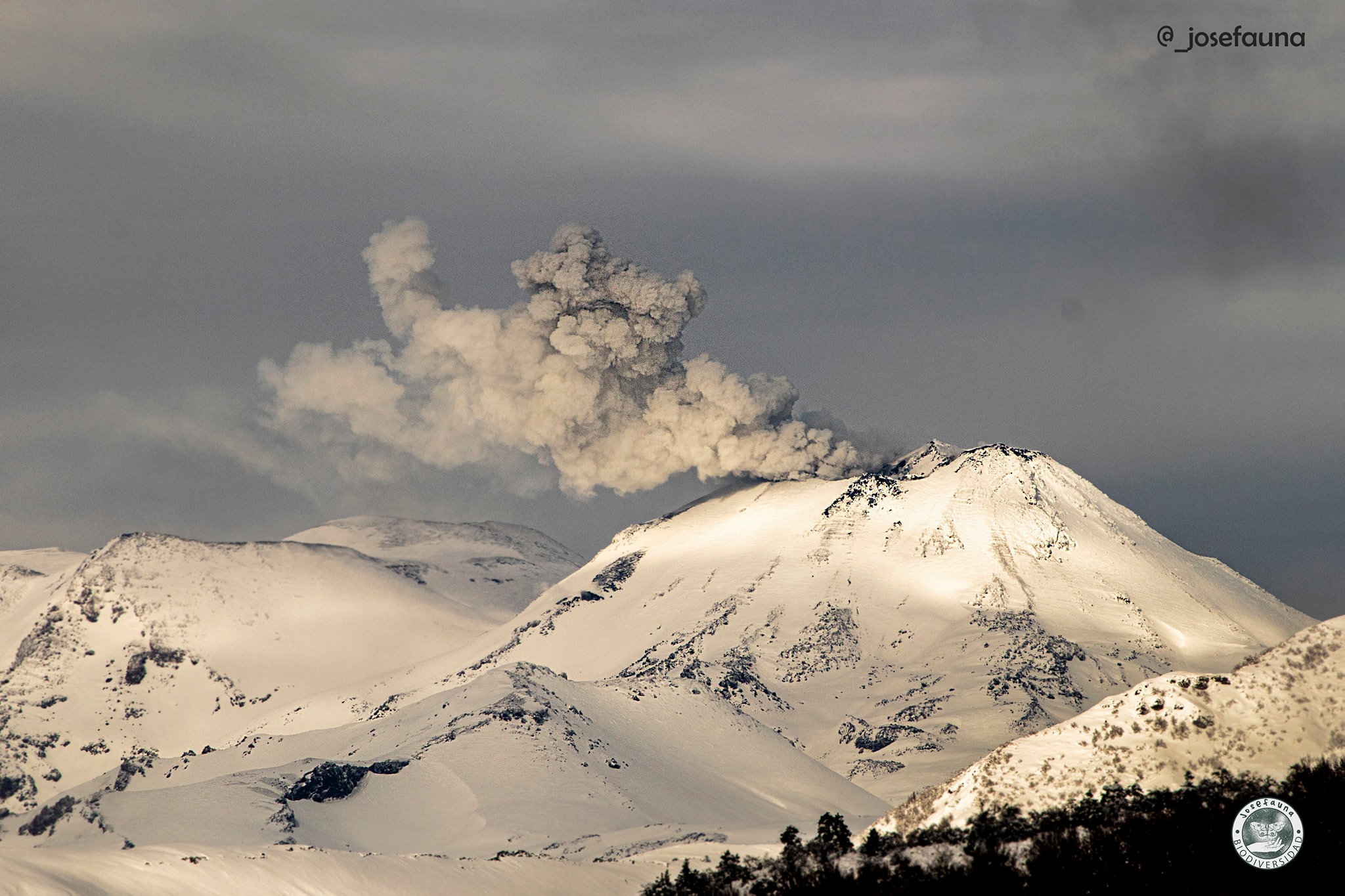
Photo : Josefauna. ( archive).
Colombia , Galeras :
San Juan de Pasto, October 6, 2026, 3:30 PM.
Based on the monitoring of Galeras volcano activity, the Colombian Geological Service (SGC)—an agency under the Ministry of Mines and Energy—reports the following:
During the week of September 29 to October 5, 2026, the main variations in monitored parameters compared to the previous week were as follows:
● Against a backdrop of low seismicity, an increase in earthquake frequency and a slight rise in released seismic energy were recorded. Dominant seismic activity remained associated with rock-fracturing processes within the volcanic edifice; activity linked to fluid dynamics was also observed.
● The earthquakes were distributed over distances ranging from 1 to 19 km and at depths of 3 to 17 km relative to the summit (4,276 m above sea level), with a maximum magnitude of 1.7.
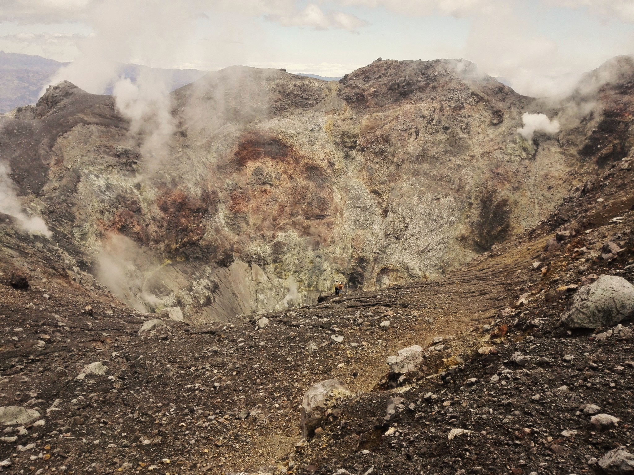
● Low-altitude emissions of white gas were observed; these dispersed with the wind. These emissions originated primarily from the El Paisita (north) and Las Chavas (west) fumarole fields, as well as from the main crater.
● Other volcanic monitoring parameters remained stable.
In light of the above, the SGC recommends closely monitoring the situation via weekly bulletins and other information published on our official channels, and adhering to the instructions issued by local and departmental authorities as well as the National Unit for Disaster Risk Management (UNGRD).
Volcanic activity remains at the yellow alert level: an active volcano showing changes in the baseline behavior of monitored parameters, alongside other manifestations.
Source et photo : SGC.
Guatemala , Santiaguito :
Weather conditions: Clear skies
Wind: Easterly
Precipitation: 49 mm
Activity
Activity is recorded at the Caliente dome of the Santa María-Santiaguito volcanic complex, with white degassing plumes rising 800 meters above the crater and drifting westward. Weak, moderate, and occasionally strong explosions occur at a rate of 0 to 3 per hour, propelling gas and ash columns to an altitude of approximately 3,600 meters (11,811 feet); these columns drift westward with the wind.
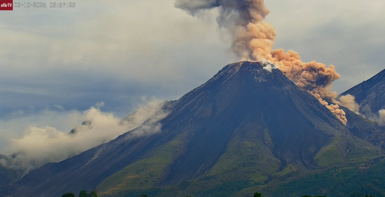
Incandescence was observed at the dome during the night and early morning, along with the detachment of incandescent rock blocks over short distances. Lava block extrusion continues on the southwest flank, triggering short-range avalanches and pyroclastic flows, some of which reach the base of the dome. Due to the significant accumulation of rock material on the Caliente dome and the promontory overlooking the southwest flank lava flow, the formation of long-range pyroclastic density currents in any direction cannot be ruled out; adherence to the guidelines in special bulletin BESAN-002-2026 is therefore recommended.
Furthermore, rainfall may mobilize material accumulated in ravines and watercourses, triggering lahars during the afternoon and overnight. It is advised to avoid ravines and riverbeds and to follow the recommendations set out in special bulletin BESAN-016-2026.
Source : Insivumeh
Photo : Afar tv.