December 18 , 2024.
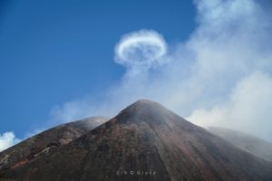
Italy , Stromboli :
WEEKLY BULLETIN, from December 09, 2024 to December 15, 2024, (publication date December 17, 2024)
SUMMARY STATUS OF ACTIVITY
In light of the monitoring data, it emerges:
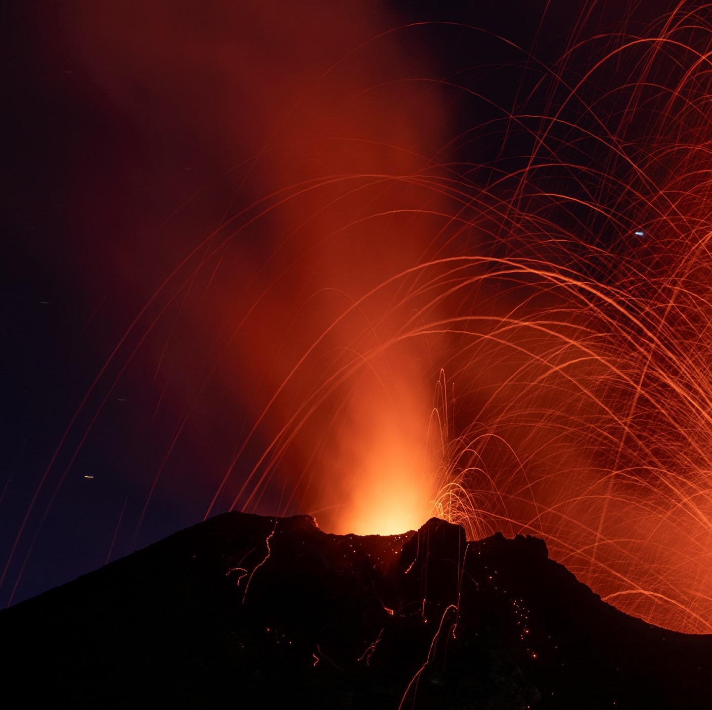
1) VOLCANOLOGICAL OBSERVATIONS: During this period, intense eruptive activity with splashes was observed from the northern area of the crater. The total hourly frequency was oscillating between average values (9-14 events/h). The intensity of the explosions was low to medium in the northern crater area and medium to high in the central-southern area.
2) SEISMOLOGY: The monitored seismological parameters do not show significant variations.
3) GROUND DEFORMATIONS: The island’s ground deformation monitoring networks did not show any significant changes to report for the period under review.
4) GEOCHEMISTRY: SO2 flux in the plume at medium level
CO2 flux from the ground in the STR02 summit area at very high values
C/S ratio in the plume: is at high values.
Helium isotope ratio in the thermal aquifer at high values.
CO2 flux at Mofeta in the San Bartolo area: values fluctuate at medium-high degassing levels.
CO2 flux at Scari: medium-low values
5) SATELLITE OBSERVATIONS: The thermal activity observed by satellite in the summit area was generally low with some isolated thermal anomalies of moderate level.
VOLCANOLOGICAL OBSERVATIONS
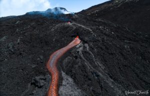
During the observed period, the eruptive activity of Stromboli was characterized by analyzing the images recorded by the INGV-OE surveillance cameras located at an altitude of 190 m (SCT-SCV) and at Punta dei Corvi (SPCT). The explosive activity was mainly produced by 4 (four) eruptive vents located in the northern area of the crater and by 3 (three) vents located in the central southern area.
In the area of the northern crater (N), four active vents were observed that produced low-intensity explosive activity (less than 80 m in height) and sometimes medium-intensity (less than 150 m in height).
In addition, a projection activity was observed at the mouths of the N2 sector, sometimes intense during the day of December 9. The products emitted in eruption were mainly coarse materials (bombs and lapilli). The average frequency of explosions ranged from 7 to 12 events/h. In the Centre-South (CS) area, explosive activity was produced by at least three vents, explosions varied in intensity from medium (less than 150 m in height) to high (more than 250 m in height) emitting fine materials sometimes mixed with coarse materials. The average frequency of explosions ranged from 1 to 6 events/h.
Source : INGV
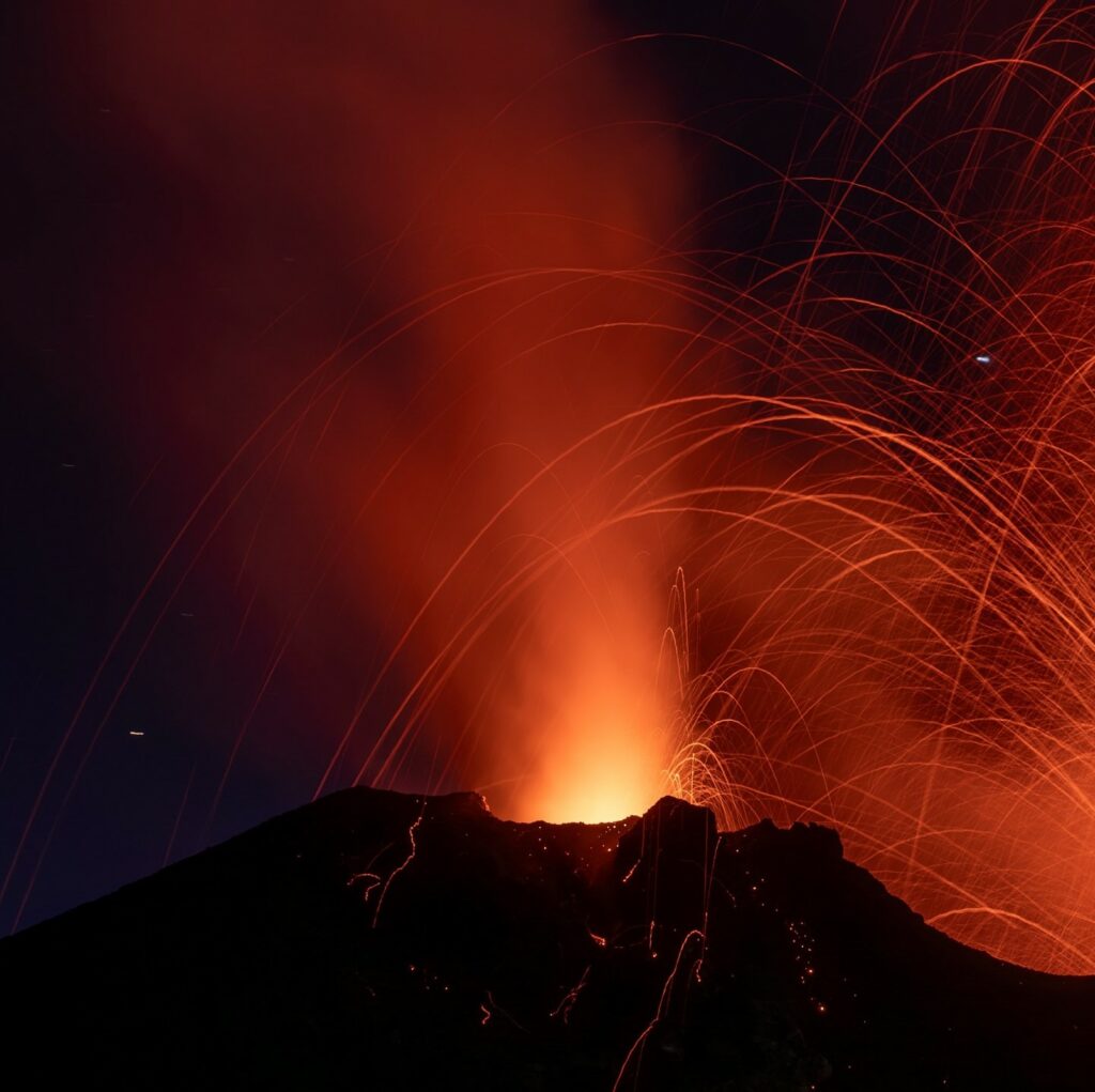
Photo : Stromboli stati d’animo / Sebastiano Cannavo .( 12/2024)
Philippines , Kanlaon / Mayon :
KANLAON AND MAYON VOLCANO LAHAR ADVISORY , 18 December 2024 ; 10:00 AM
Based on the Philippine Atmospheric Geophysical and Astronomical Services Administration (PAGASA) Tropical Cyclone Bulletin No. 3 issued at 05:00AM today December 18, 2024, the Shear Line and Tropical Depression Querubin (and their interaction) will potentially bring heavy to intense rainfall over several areas in southeastern Luzon, Visayas and Mindanao, even those far from the projected path of the tropical depression. Moderate to heavy rainfall is expected over the Bicol Region and Negros Island in the coming days. This can generate volcanic sediment flows or lahars, muddy streamflows or muddy run-off in rivers and drainage areas on the monitored active volcano. DOST-PHIVOLCS thus strongly recommends increased vigilance and readiness of communities in pre-determined zones of lahar and related hazards on these volcanoes.
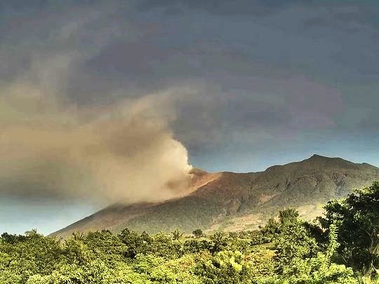
Prolonged and heavy rainfall may generate post-eruption lahars on major channels draining Kanlaon Volcano by incorporating loose material from remnant pyroclastic density current (PDC) deposits of the 9 December 2024 explosive eruption. Potential lahars and sediment-laden streamflows may occur along the Tamburong Creek in Biak-na-bato and Baji-Baji Falls and Talaptapan Creek, in Cabacungan, La Castellana. Post-eruption lahars similar to the 5 June 2024 lahars can affect these and communities downstream of these creeks.
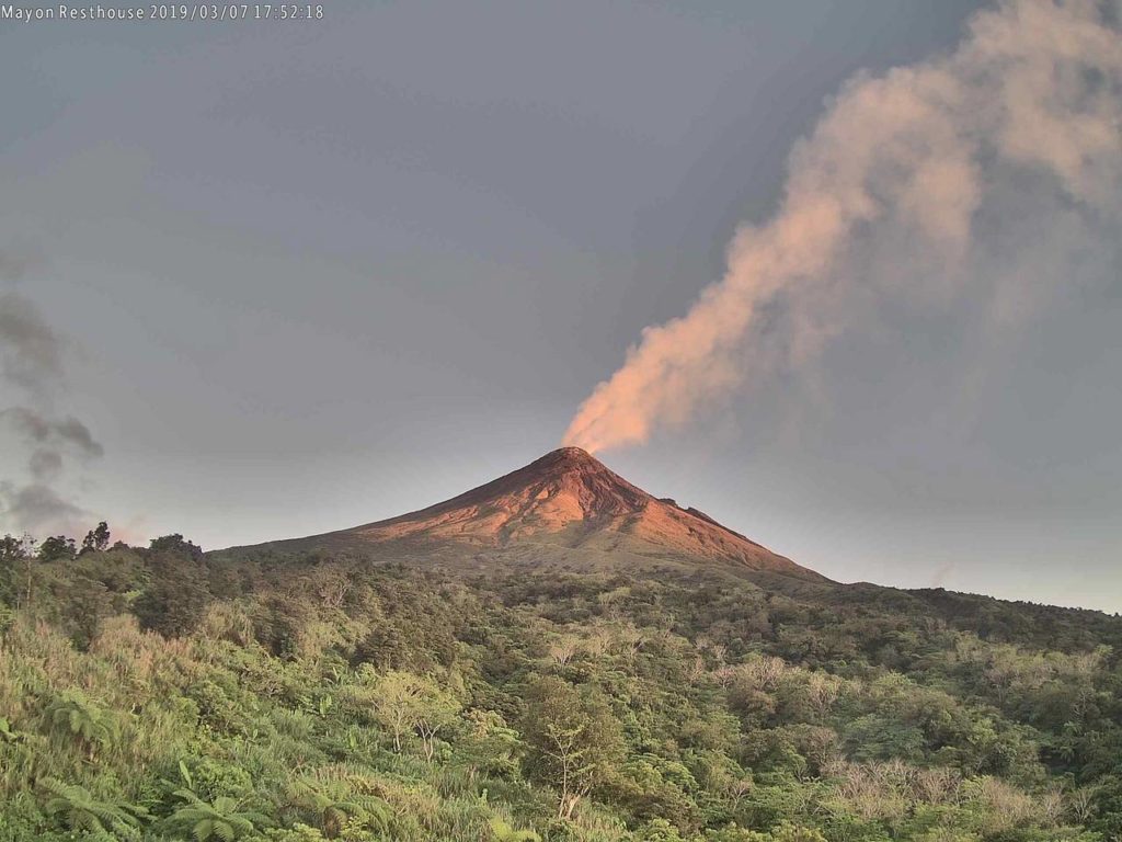
Heavy rainfall may also generate post-eruption lahars on major channels draining Mayon Volcano by incorporating loose material from remnant PDC deposits from the January-March 2018 eruption. The bulk of erodible PDC deposits occupy the watershed areas of the Miisi, Mabinit, Buyuan and Basud Channels. In addition, older and erodible eruption deposits on the watershed areas of the eastern and western slopes of the edifice and can be remobilized as non-eruption lahars by erosion of banks and channel beds. Lahars can threaten communities downstream of the above channels with inundation, burial and wash away. Potential lahars and sediment-laden streamflows may occur along the Miisi, Binaan, Anoling, Quirangay, Maninila, Masarawag, Muladbucad, Nasisi, Mabinit, Matan-ag, Basud and Bulawan Channels in Albay Province.
DOST-PHIVOLCS is monitoring volcanic unrest in Mayon and Kanlaon 24/7 and any new development will be communicated immediately to the public.
Source : DOST-PHIVOLCS
Photos : Mayon / Volcanodiscovery ( 2019 ) , al 24 news . com (2024)
Indonesia , Lewotobi Laki-laki :
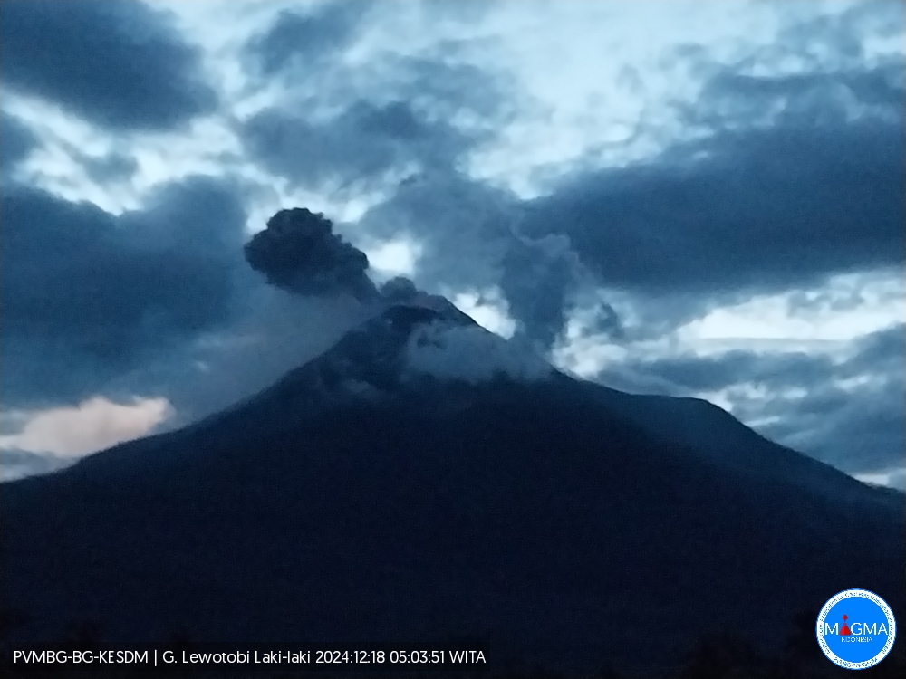
An eruption of Lewotobi Laki-laki occurred on Wednesday, December 18, 2024 at 05:01 WITA with the height of the ash column observed at ± 300 m above the summit (± 1884 m above sea level). The ash column was observed to be gray with a thick intensity, oriented towards the North. This eruption was recorded on a seismograph with a maximum amplitude of 14.8 mm and a duration of 96 seconds.
Seismicity observation
6 emission earthquakes with an amplitude of 3.7 to 4.4 mm and earthquake duration of 31 to 129 seconds.
4 harmonic tremors with an amplitude of 2.2 to 7.4 mm and earthquake duration of 17 to 78 seconds.
2 deep tectonic earthquakes with an amplitude of 3.7 to 7.4 mm, and earthquake duration of 105 to 200 seconds.
Recommendation
1. Communities around Lewotobi Laki-laki and visitors/tourists do not carry out any activity within a radius of 6 km from the Lewotobi Laki-laki eruption center and in the South-West – North – North-East sector for 7 km.
2. The public should remain calm and follow the instructions of the regional government and not believe in rumors whose origin is unclear.
Source et photo : Magma Indonésie.
Hawaii , Kilauea :
Tuesday, December 17, 2024, 9:10 AM HST (Tuesday, December 17, 2024, 19:10 UTC)
19°25’16 » N 155°17’13 » W,
Summit Elevation 4091 ft (1247 m)
Current Volcano Alert Level: ADVISORY
Current Aviation Color Code: YELLOW
Activity Summary:
Kīlauea volcano is not erupting. Starting in the early morning of Saturday December 14, there have been several modest upticks in seismic activity underneath the volcano’s summit, lasting from an hour to a few hours, often accompanied by minor inflation. Seismicity at East Rift Zone, and Southwest Rift Zone is low and deformation is steady. Continued summit inflation and increased seismic activity suggests an increasing amount of magma is being stored underneath the summit area. Given activity over the past week, HVO will switch from weekly updates to daily updates starting tomorrow Wednesday December 18.
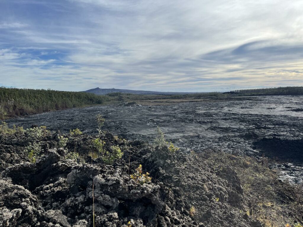
This view, taken on Monday, November 25, 2024, around 8 a.m., looks to the east from the west rim of Nāpau Crater. The September 2024 lava flows on the floor of Nāpau Crater are visible in the foreground while Pu‘u‘ō‘ō, active from 1983–2018, is visible in the background.
Summit Observations:
Earthquake activity at Kīlauea’s summit region was low in the first half of the last week. Starting in the early morning of Saturday December 14, there have been a few periods of increased seismicity activity, lasting from one to a few hours, often accompanied by minor inflation as recorded at the tiltmeter at Uēkahuna, northwest of Kaluapele, the summit caldera, and tiltmeter at Sand Hill, southwest of Kaluapele. Overall, there were about 250 earthquakes underneath the summit, most at depths of 1 to 3 miles under the surface, and most below magnitude-2.0. Since the September eruption in the East Rift Zone, there have been sustained rates of inflation at the summit. The most recent measurement of the sulfur dioxide (SO2) emission rate from the summit was approximately 70 tonnes per day on October 17, a value representative of noneruptive conditions at Kīlauea. Unfavorable weather and wind conditions have delayed acquisition of a new SO2 emission rate measurement.
Rift Zone Observations:
Shallow earthquake counts in the upper and middle East Rift Zone (ERZ) remain at low levels. There were approximately 70 located earthquakes in the middle ERZ, and approximately 40 in the upper ERZ as well, with most below magnitude-2.0. Deformation remains steady in the ERZ, as recorded by GPS instruments and tiltmeters. There are no indications of any changes downrift in the lower East Rift Zone.
Source : HVO
Photo : USGS / K. Lynn.
Colombia , Chiles / Cerro Negro :
San Juan de Pasto, December 17, 2024, 5:00 p.m.
From the monitoring of the activity of the Chiles and Cerro Negro volcanoes, the Colombian Geological Survey (SGC), an entity attached to the Ministry of Mines and Energy, reports that:
During the week of December 10 to 16, 2024, the activity of the volcanoes showed stable behavior. Compared to the previous week, the main variations in the monitored parameters were:
• The frequency of earthquakes remained at fluctuating levels, but similar to those reported in recent weeks, although the seismic energy released showed a slight increase.
• The predominance of seismicity due to the fracturing of rocks within the volcanic edifice was maintained, in parallel with the significant recording of earthquakes associated with the movement of fluids in the volcanic system.
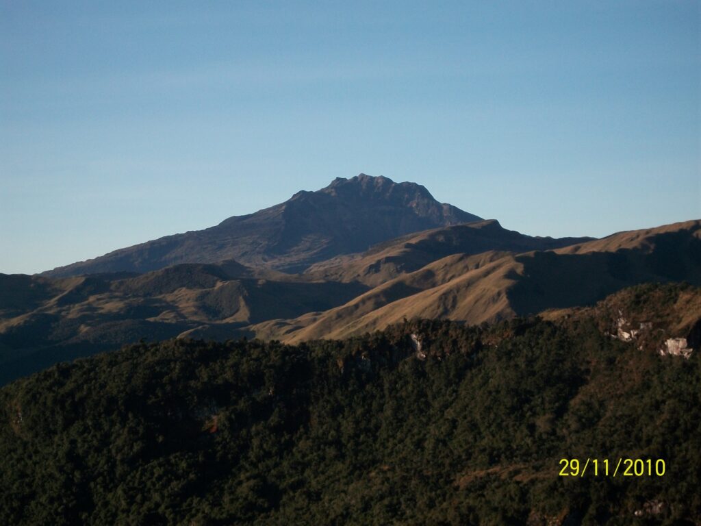
• Localized seismicity predominated in the collapse zone of the Chiles volcano, which extends from its summit to approximately 2 km in a northerly direction. The highest magnitude event this week was 1.5 and occurred in the collapse zone, at a depth of 3.8 km from the summit (4,700 m above sea level). An earthquake that occurred near the Cerro Negro volcano is also highlighted, with a magnitude of 1.0 and a depth of 3.9 km.
• Instruments that record cortical deformation and remote satellite sensors continue to show changes related to an inflationary process in the volcanic area.
Based on the above, the SGC recommends closely monitoring the evolution through the weekly bulletins and other information published through our official channels, as well as the instructions of local and departmental authorities and the National Disaster Risk Management Unit (UNGRD).
Volcanic activity remains in yellow alert status: active volcano with changes in the behavior of the base level of monitored parameters and other manifestations.
Source et photo : SGC

