November 25 , 2024 .
Iceland : Reykjanes Peninsula :
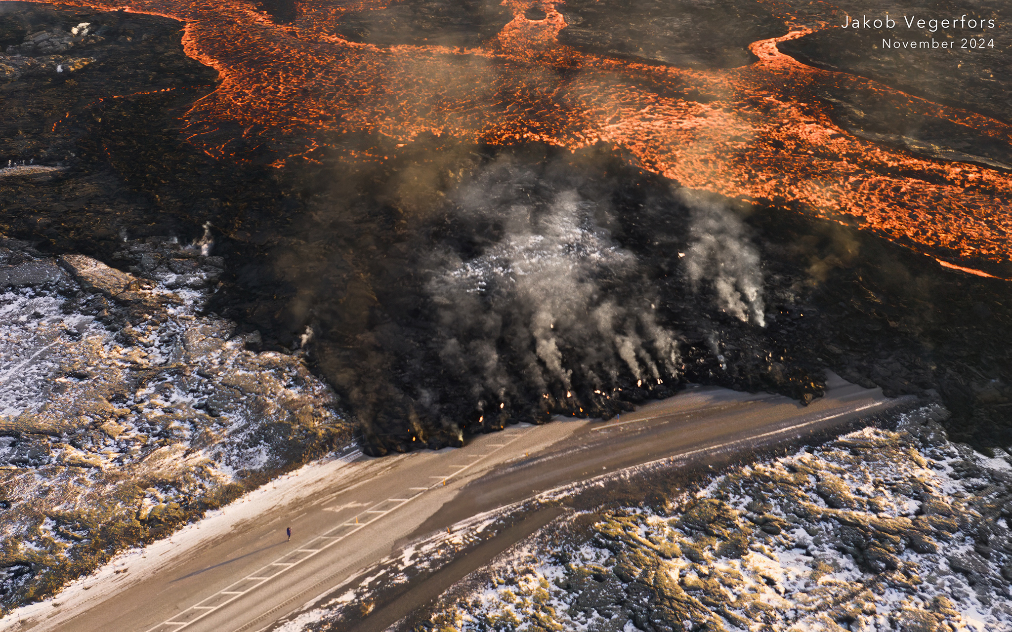
Eruption power reduced. Updated November 24, 14:30
Activity has subsided
Three craters remain active
Less activity in the strongest crater to date
Lava flow to Svartsengi dikes has decreased.
The situation remains sensitive regarding the possible impact on Svartsengi infrastructure
The risk assessment is valid until 25 November, all other things being equal
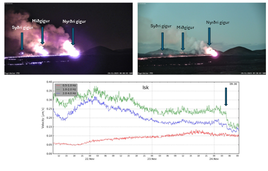
Activity yesterday evening was fairly stable at first, but by 05:00 this morning the eruption had subsided and, in parallel, the activity visible in the central crater, the crater that has been the most active so far, has decreased.
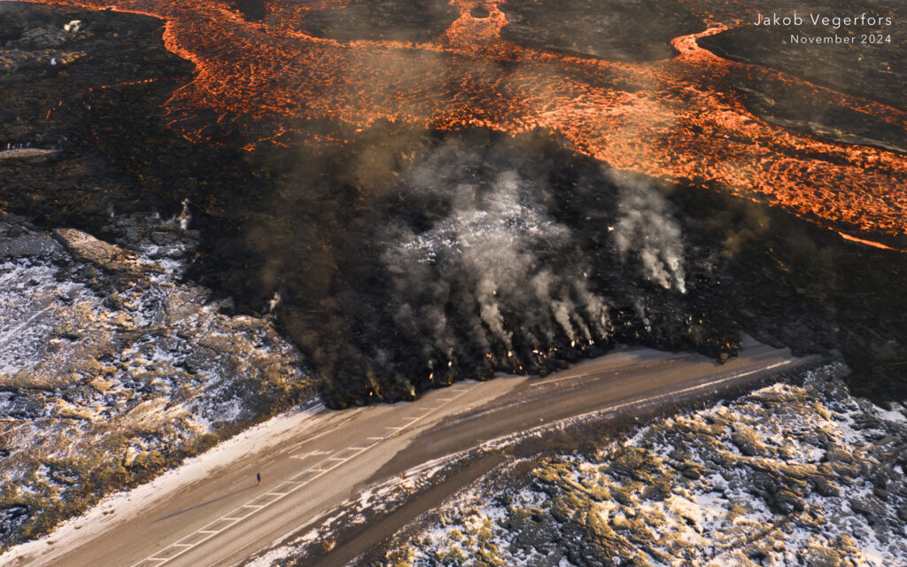
Three craters are still active, the southern crater has been the smallest in recent days, but activity in this crater, as well as in the northernmost crater, appears fairly stable. The central crater has fed a series of lava flows along Stóra Skógfell and further along the Svartsengi and Bláa lónid defences. Its decreased activity is expected to result in a decrease in the lava flow towards the Svartsengi dikes.
Note that despite the decrease in activity in the craters, lava flows can still exert pressure on the dikes. During the June eruption, lava flows broke through a dike, despite the fact that activity at the fissure was then considerably reduced.
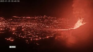
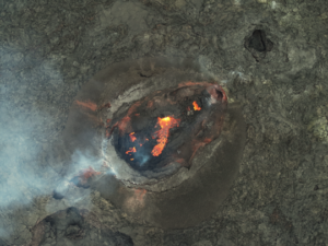
The attached image shows a disturbance graph from a seismometer at Litla-Skógfell. The green line shows the turbulence of the eruption, which is decreasing sharply around 5am this morning. Photo of the craters, from a VÍ webcam north of Fagradalsfjall. On the left is from midnight and on the right is from 9:30am this morning
Gas pollution (SO2) was measured in Grindavík last night and this morning.
Source : IMO
Photos : Jakob Vegerfors , IMO.
Indonesia , Dukono :
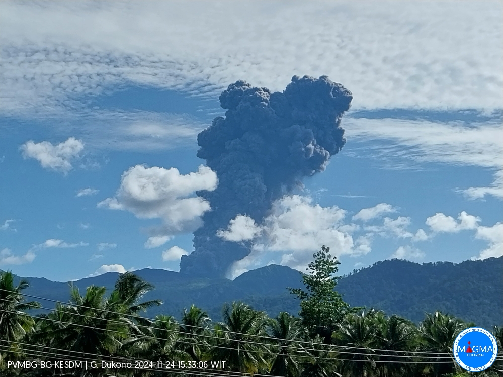
An eruption of Mount Dukono occurred on Sunday, 24 November 2024 at 07:25 WIT with the height of the ash column observed at ± 3,000 m above the summit (± 4,087 m above sea level). The ash column was observed to be white to grey in colour with a thick intensity, oriented to the west and northwest. At the time of writing, the eruption was still ongoing.
VOLCANO OBSERVATORY NOTICE FOR AVIATION – VONA
Issued : November 24 , 2024
Volcano : Ibu (268030)
Current Aviation Colour Code : ORANGE
Previous Aviation Colour Code : orange
Source : Ibu Volcano Observatory
Notice Number : 2024IBU1168
Volcano Location : N 01 deg 29 min 17 sec E 127 deg 37 min 48 sec
Area : North Maluku, Indonesia
Volcanic Activity Summary :
Eruption with volcanic ash cloud at 22h25 UTC (07h25 local).
Volcanic Cloud Height :
Best estimate of ash-cloud top is around 6160 FT (1925 M) above sea level or 1920 FT (600 M) above summit. May be higher than what can be observed clearly. Source of height data: ground observer.
Other Volcanic Cloud Information :
Ash cloud moving to west. Volcanic ash is observed to be white to gray. The intensity of volcanic ash is observed to be thick.
Remarks :
Eruption recorded on seismogram with maximum amplitude 28 mm and maximum duration 58 second.
Source et photo : Magma Indonésie
Colombia , Cumbal :
San Juan de Pasto, November 19, 2024, 2:40 p.m.
From the monitoring of the activity of the Cumbal Volcanic Complex (CVC), the Colombian Geological Survey (SGC), an entity attached to the Ministry of Mines and Energy, reports that:
During the week of November 12 to 18, 2024, the activity of the volcanic complex maintained a stable behavior. Compared to the previous week, the main variations in the monitored parameters were:
• Seismicity showed a decrease in both the number of earthquakes recorded and the energy released.
• The predominance of earthquakes associated with the fracture of rocks within the volcanic complex was maintained, followed by the recording of earthquakes associated with the movement of fluids.
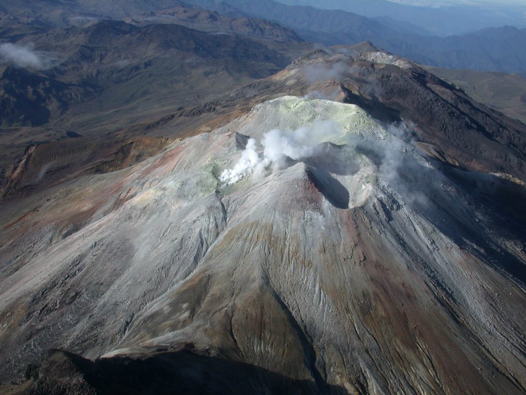
• Gas emissions with white columns and variable dispersion were observed, depending on the wind regime in the area, from the fumarole fields of El Verde, La Rea and La Desfondada, to the northeast of the CVC; and from the fumarole fields of Los Rastrojos, Las Bandas and Boca Vieja, located to the southwest of the CVC.
• The other volcanic monitoring parameters showed stability.
Based on the above, the SGC recommends closely monitoring the evolution through the weekly bulletins and other information published through our official channels, as well as the instructions of the local and departmental authorities and the National Disaster Risk Management Unit (UNGRD).
Volcanic activity remains in yellow alert status: active volcano with changes in the behavior of the base level of the monitored parameters and other manifestations.
Source et photo : SGC
Ecuador , El Reventador :
DAILY STATUS REPORT OF THE REVENTADOR VOLCANO , Sunday, November 24, 2024.
Information Geophysical Institute – EPN.
Surface Activity Level: High , Surface Trend: No Change
Internal Activity Level: Moderate , Internal Trend: No Change
From November 23, 2024, 11:00 a.m. to November 24, 2024, 11:00 a.m.:
Seismicity:
The count of seismic events recorded at the station is detailed below.
Explosion (EXP) 88
Long Period (LP) 12
Emission Tremor (TREMI) 11
Harmonic Tremor (TRARM) 13
Precipitation / Lahars:
Rains fell in the area, without causing lahars **Heavy rains could remobilize the accumulated materials, generating mud and debris flows that would descend the sides of the volcano and flow into adjacent rivers**.
Emissions / ash column:
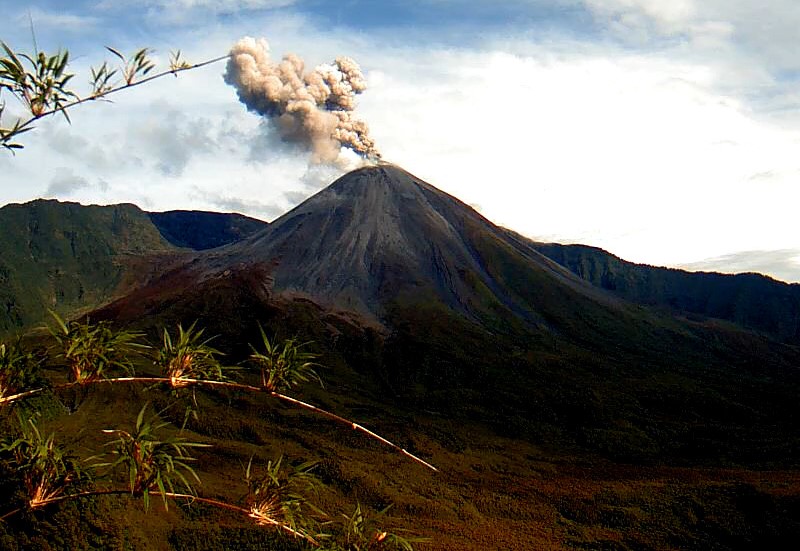
During this morning, thanks to cameras and satellite images, an ash emission was observed, at a height of 500 m above the crater level, in a southwest direction. In relation to this activity, the VAAC agency in Washington reported an ash emission, at a height of 1,300 meters above the crater level, in a southeast direction.
Other monitoring parameters:
The MIROVA-VIIRS satellite system detected 1 thermal anomaly. Similarly, the FIRMS satellite system recorded 1 thermal anomaly.
Observation:
Since yesterday, thanks to the surveillance camera system, the descent of incandescent material has been observed several times, up to 800 meters below the level of the crater. On the other hand, the volcano has remained cloudy most of the time.
Alert level: Orange
Source : IGEPN
Photo : IGEPN
Guatemala , Fuego :
Atmospheric conditions: Clear.
Wind: southwest.
Precipitation: 5.0 mm.
Activity:
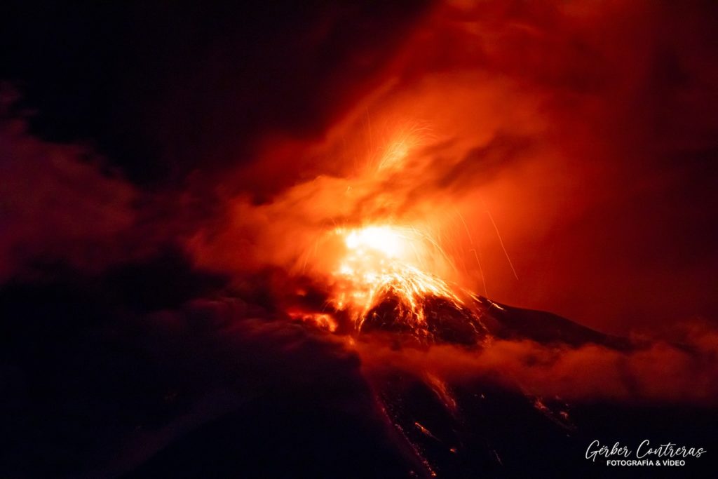
In the crater, weak, moderate to strong explosions are observed, at a frequency of 7 to 10 per hour, expelling ash between 4,500 and 4,800 meters of altitude (14,763 – 15,748 feet) moving northeast, about 30 km. Ash falls are recorded in Alotenango, Ciudad Vieja, Antigua Guatemala, with probability of propagation to the surroundings of the capital and other localities in this direction. Moderate and strong explosions generate rumblings with shock waves, audible and perceptible on the eastern and southeastern flanks.
The explosions generate moderate to strong avalanches towards the ravines of Las Lajas, Seca and Ceniza. It must be taken into account that strong explosions expel ballistic projections on the plateau and that it is dangerous to climb and/or stay in this place. In the afternoon and at night, moderate to heavy rains occur in the volcanic area, so that lahars can develop along any of the ravines. It is recommended to take precautions when passing vehicles.
Source : Insivumeh .
Photo : Gerber Contreras. ( 11/2022 )

