November 12 , 2024.
Indonesia , Lewotobi Laki-laki :
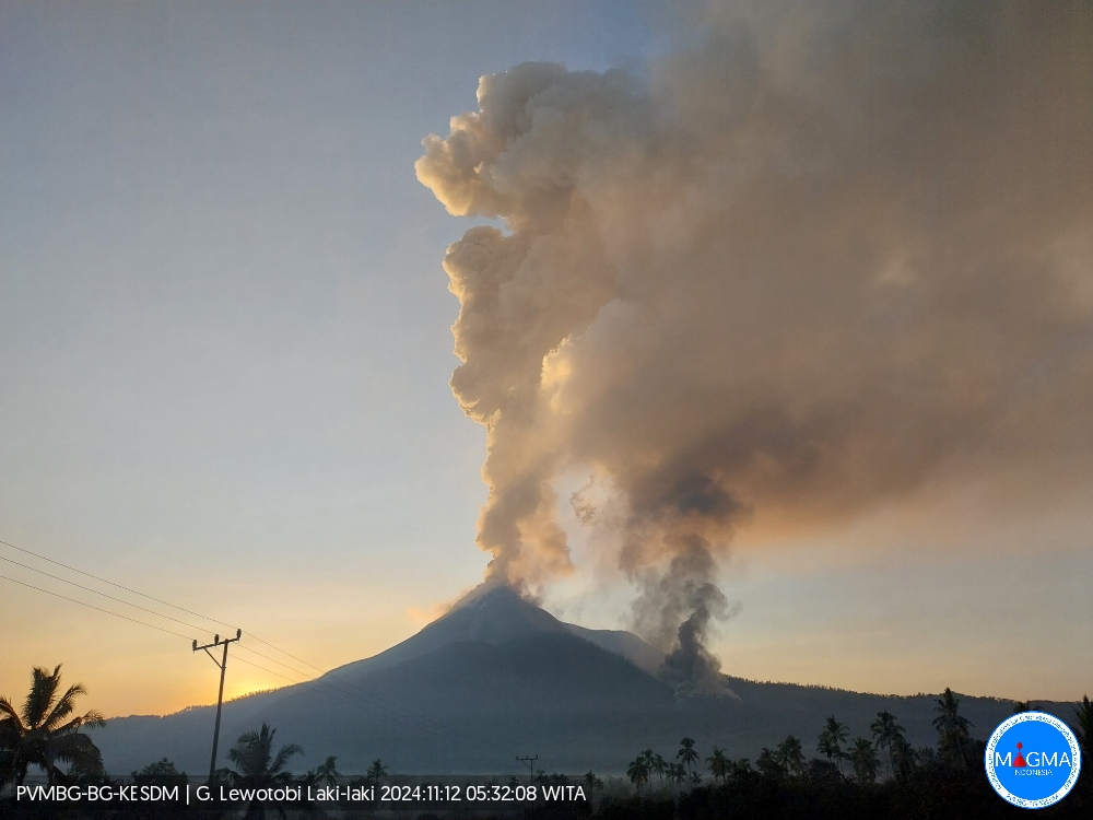
An eruption of Lewotobi Laki-laki occurred on Tuesday, 12 November 2024 at 05:59 UTC (13:59 local time) with the height of the ash column observed at 33,869 ft (10,584 m) above sea level or 28,800 ft (9,000 m) above the summit. The ash column was observed to be grey with thick intensity, oriented towards the southwest and west. At the time of writing, the eruption was still ongoing.
VOLCANO OBSERVATORY NOTICE FOR AVIATION – VONA
Issued : November 12 , 2024
Volcano : Lewotobi Laki-laki (264180)
Current Aviation Colour Code : RED
Previous Aviation Colour Code : orange
Source : Lewotobi Laki-laki Volcano Observatory
Notice Number : 2024LWK779
Volcano Location : S 08 deg 32 min 20 sec E 122 deg 46 min 06 sec
Area : East Nusa Tenggara, Indonesia
Summit Elevation : 5069 FT (1584 M)
Volcanic Activity Summary :
Eruption with volcanic ash cloud at 05h59 UTC (13h59 local).
Volcanic Cloud Height :
Best estimate of ash-cloud top is around 33869 FT (10584 M) above sea level or 28800 FT (9000 M) above summit. May be higher than what can be observed clearly. Source of height data: ground observer.
Other Volcanic Cloud Information :
Ash cloud moving from southwest to west. Volcanic ash is observed to be gray. The intensity of volcanic ash is observed to be thick.
Remarks :
Eruption and ash emission is continuing. Eruption recorded on seismogram with maximum amplitude 47.3 mm. Tremor recorded on seismogram with maximum amplitude 47.3 mm.
Source et photo : Magma Indonésie.
Kamchatka , Karymsky :
VOLCANO OBSERVATORY NOTICE FOR AVIATION (VONA)
Issued: November 12 , 2024
Volcano: Karymsky (CAVW #300130)
Current aviation colour code: ORANGE
Previous aviation colour code: orange
Source: KVERT
Notice Number: 2024-101
Volcano Location: N 54 deg 2 min E 159 deg 26 min
Area: Kamchatka, Russia
Summit Elevation: 1486 m (4874.08 ft)
Volcanic Activity Summary:
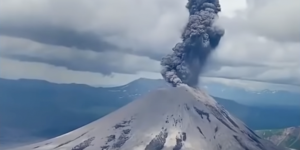
The explosive activity of the Karymsky volcano continues. Satellite data by KVERT showed explosions sent ash 3 km from the volcano, and an ash plum is drifting for 30 km to the north-east of the volcano.
A moderate activity of the volcano continues. Ash explosions up to 10 km (32,800 ft) a.s.l. could occur at any time. Ongoing activity could affect international and low-flying aircraft.
Volcanic cloud height:
3000 m (9840 ft) AMSL Time and method of ash plume/cloud height determination: 20241112/0330Z – ARCTICA-M1
Other volcanic cloud information:
Distance of ash plume/cloud of the volcano: 30 km (19 mi)
Direction of drift of ash plume/cloud of the volcano: ENE / azimuth 62 deg
Time and method of ash plume/cloud determination: 20241112/0330Z – ARCTICA-M1
Source : Kvert
Photo : Daily Afisha. Ru ( 10/2021)
Philippines , Bulusan :
Bulusan Volcano Bulletin , 12 November 2024 , 08:00 AM .
Notice for the lowering of the alert status of Bulusan Volcano from Alert Level 1 (Low-Level of Unrest) to Alert Level 0 (Normal).
Bulusan Volcano has returned to normalcy following a general decline in monitoring parameters. This is supported by the following observations:
Volcanic Earthquake Activity:
Volcanic earthquakes recorded by the Bulusan Volcano Network (BVN) have declined to baseline levels (0-5 earthquakes/day) since the third week of August 2024. Events detected by the BVN since then have been weak, NNW-SSE trending volcano-tectonic or VT earthquakes that originated at close depths of less than 10 kilometers beneath the edifice. The decline and characteristics of VT earthquake activity indicate that rock-fracturing processes beneath the volcano may have been influenced by diminishing tectonic stresses related to the 18 August 2020 Mw6.6 earthquake along the nearby Masbate segment of the Philippine Fault Zone (PFZ).
Ground Deformation:
Data from continuous GPS and electronic tilt measurements tracked an unsteady inflation of the southern and northeastern flank of the Bulusan between December 2022 and September 2023. While shallow hydrothermal processes beneath the edifice may have contributed to this, ground deformation was more likely driven by recent tectonic movement along the Masbate segment of the PFZ.
Volcanic Gas and Heat Emission:
Sulfur dioxide or SO2 emission from the summit vents has been low at an average of 76 tonnes/day since Alert Level 1 was raised on 25 October 2023. Moreover, most monitored springs have exhibited decreases in acidity, temperature and diffuse carbon dioxide. These parameters indicate that input from the shallow hydrothermal system has remained within background levels and that there has been no input from deep magma sources.
Visual Observation of the Summit:
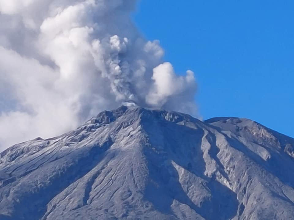
Degassing activity from the active summit vents has remained in the background levels and has produced only very weak to moderate plumes since September 2023.
In view of the above, PHIVOLCS-DOST is now lowering the alert status of Bulusan from Alert Level 1 to Alert Level 0. This means that monitoring parameters have returned to baseline or background levels and no magmatic eruption is foreseen in the immediate future. However, in the event of a renewed increase in any one or combination of the above monitoring parameters, the alert status may step up once again to Alert Level 1. The local government units and the public, however, are reminded that entry into the 4-kilometer radius Permanent Danger Zone (PDZ) particularly near the vents on the south-southeastern slopes, should be avoided due to the possibility of sudden and hazardous steam-driven or phreatic eruption, rockfall and landslide. Civil aviation authorities must also advise pilots to avoid flying close to the volcano’s summit as ash from any sudden phreatic eruption can be hazardous to aircraft. Furthermore, people living within valleys and along river/stream channels should be vigilant against sediment-laden stream flows and lahars in the event of heavy and prolonged rainfall. DOST-PHIVOLCS is closely monitoring Bulusan Volcano’s condition and any new development will be relayed to all concerned.
This will be the last bulletin for Bulusan Volcano until new changes in monitoring parameters occur.
Source : Phivolcs
Photo : Sorsogon news. (06/ 2022)
Chile , Hudson :
Seismology
The seismological activity of the period was characterized by the recording of:
882 VT type seismic events, associated with rock fracturing (Volcano-Tectonic). The most energetic earthquake had a local magnitude (ML) value equal to 3.1, located 7.7 km to the South-Southwest and with a depth of 5.6 km from the center of the caldera.
22 LP type seismic events, associated with fluid dynamics within the volcanic system (Long Period). The most energetic earthquake presented a Reduced Displacement (DR) value of 212 cm2 and a Local Magnitude (ML) value equal to 2.1, located 4.2 km to the South-Southwest and with a depth of 9.5 km from the center of the caldera.
4 HB-type seismic events, associated with both rock fracturing and fluid dynamics within the volcanic system (Hybrid). The most energetic earthquake had a reduced displacement (RD) value of 56 cm2 and a local magnitude (LM) value of 1.5, located 10.6 km to the South-Southwest and with a depth of 11.7 km from the caldera center.
Fluid geochemistry
No anomalies were reported in sulfur dioxide (SO2) emissions into the atmosphere in the area near the volcano, according to data published by the Tropopheric Monitoring Instrument (TROPOMI) and the Ozone Monitoring Instrument (OMI) Sulphur Dioxide Group.
Thermal anomalies by satellites
During the period, no thermal alerts were recorded in the area associated with the volcano, according to the analytical processing of Sentinel 2-L2A satellite images, in combination with false-color bands.
Geodesy
Based on data from 2 GNSS stations that contribute to measuring the deformation of the volcanic system, small displacements are observed. The trend towards the South-East of the station located on the South-East edge of the caldera continues at a rate of 0.8 cm/month. No significant variation is observed in the vertical component.
Surveillance cameras
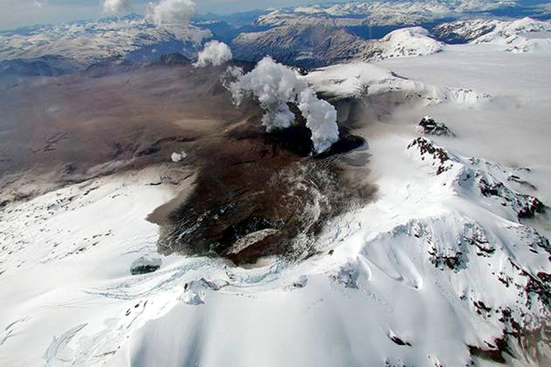
The images provided by the fixed camera, installed near the volcano, did not record degassing columns or variations related to surface activity.
The activity remained at levels considered low, suggesting stability of the volcano.
The volcanic technical alert is maintained at:
GREEN TECHNICAL ALERT: Active volcano with stable behavior – There is no immediate risk
Source : Sernageomin
Photo : Patagonialink ( 12/2023)
Peru , Sabancaya :
Analysis period: from November 04, 2024 to November 10, 2024, Arequipa, November 11, 2024
Alert level: ORANGE
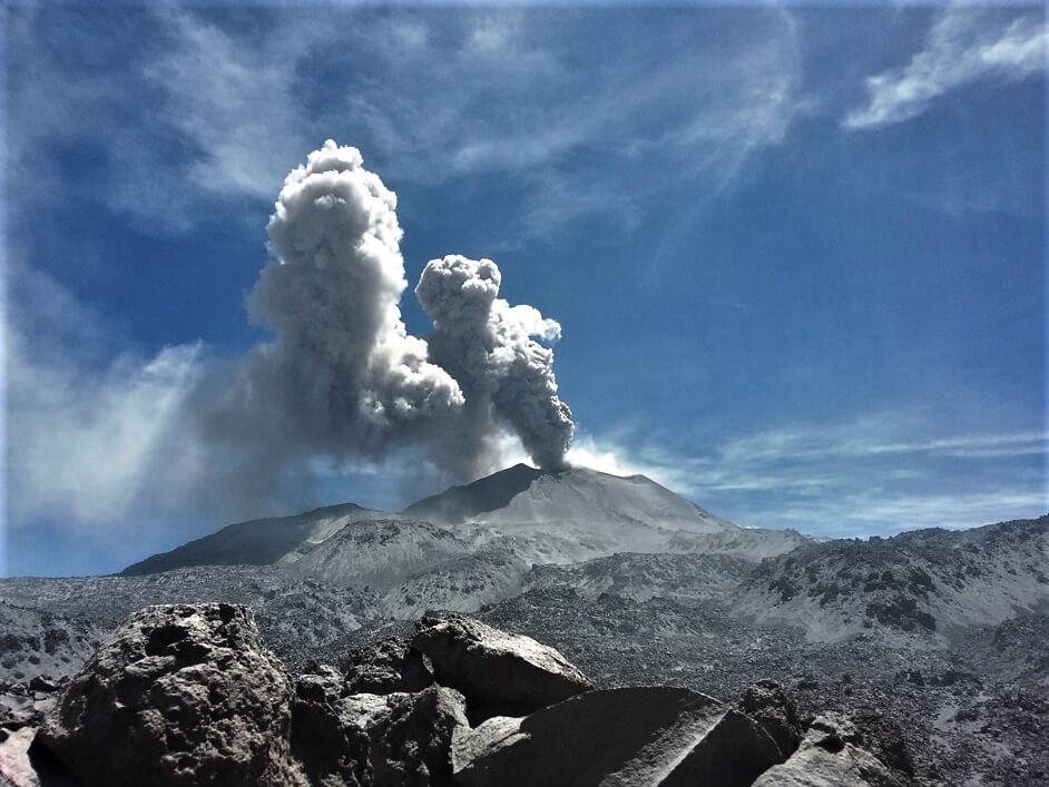
The Geophysical Institute of Peru (IGP) reports that the eruptive activity of the Sabancaya volcano continues. During this period, an average of 11 explosions per day have been recorded, with columns of ash and gas up to 1700 m above sea level above the summit of the volcano. Therefore, the volcanic alert level remains at ORANGE
The IGP has recorded and analyzed the occurrence of 203 earthquakes of volcanic origin, associated with the circulation of magmatic fluids inside the Sabancaya volcano, as well as earthquakes related to rock fracturing. An average of 11 explosions per day have been recorded.
Columns of ash and gas have been observed up to 1700 m above sea level above the summit of the volcano. The predominant direction of these emissions has been towards the North-West and West sectors of the volcano over a distance of less than 10 KM.
A slight inflation process continues to be recorded in the North sector (around the Hualca Hualca volcano).
Satellite recordings have identified the presence of 16 thermal anomalies, with a maximum value of 5 MW, associated with the presence of a lava body on the surface of the volcano’s crater.
Moderate emissions (842 tons/day) of sulfur dioxide (SO2) have been observed
RECOMMENDATIONS
• Maintain the orange volcanic alert level.
• Do not approach within a radius of less than 12 km of the crater.
Source : Cenvul
Photo : Archive Ingemmet ( 04/2020)

