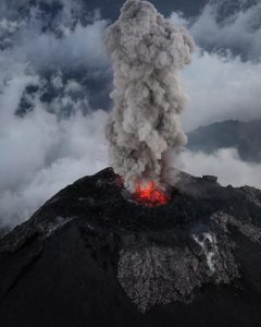
November 02 , 2024 .
United States , Yellowstone :
YELLOWSTONE VOLCANO OBSERVATORY MONTHLY UPDATE
U.S. Geological Survey
Friday, November 1, 2024, 9:11 AM MDT (Friday, November 1, 2024, 15:11 UTC)
44°25’48 » N 110°40’12 » W,
Summit Elevation 9203 ft (2805 m)
Current Volcano Alert Level: NORMAL
Current Aviation Color Code: GREEN
Summary
Yellowstone Caldera activity remains at background levels, with 70 located earthquakes in October (maximum = M2.0). Deformation measurements indicate a resumption of subsidence after the seasonal pause that occurs every summer due to snowmelt and groundwater conditions.
Recent Work and News
Steamboat Geyser erupted on October 7, the 5th major eruption of the year. Since that time, the geyser has not experienced significant minor activity, indicating that the next major eruption is at least many weeks, and perhaps months, away.
Yellowstone Volcano Observatory scientists continue to examine data from the Black Diamond Pool area of Biscuit Basin, where a hydrothermal explosion took place on July 23, 2024. Seismic and infrasound (acoustic) data indicate that some minor surges of water from the pool continue to occur.
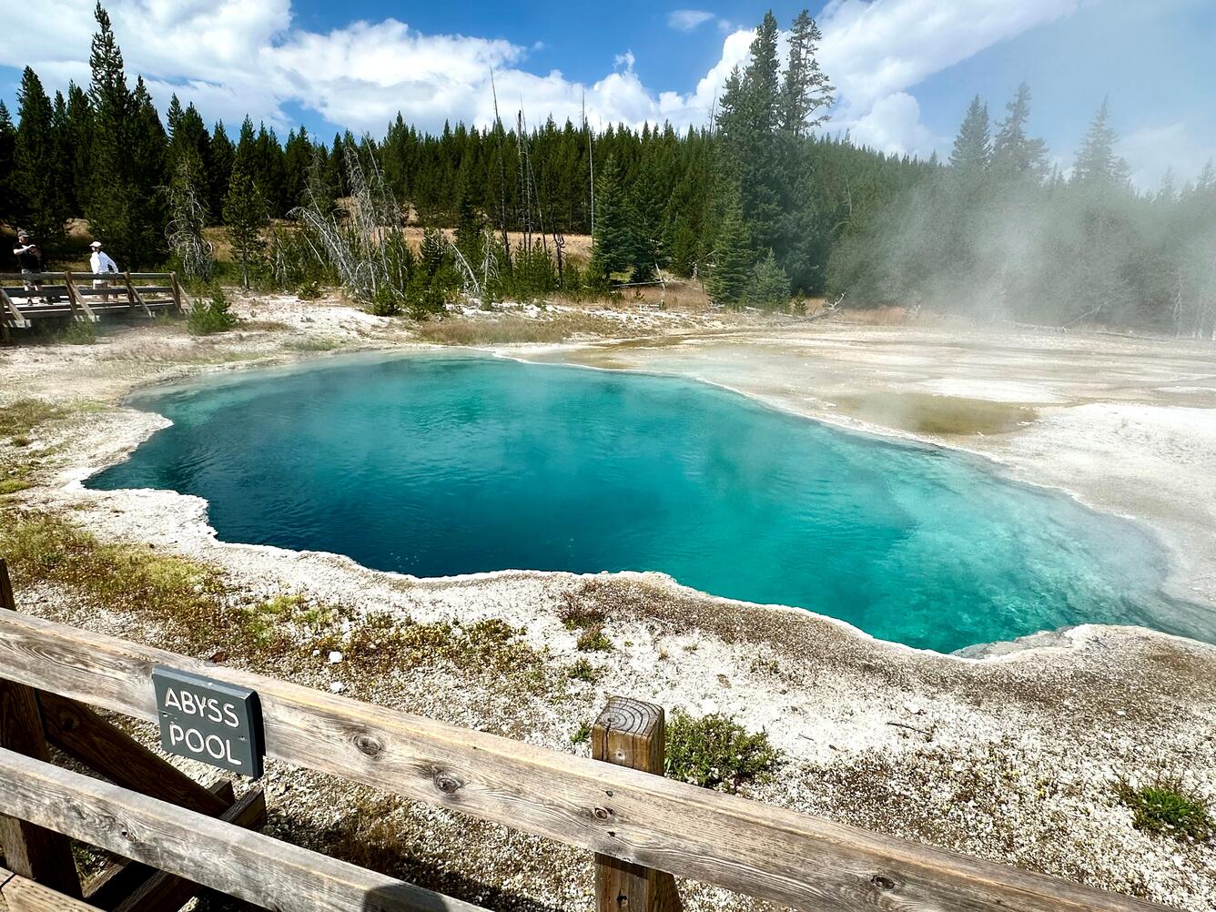
Abyss Pool is about 16 m (53 ft) deep and contains alkaline-chloride hydrothermal fluids that in the summer of 2024 had a temperature of 181 °F (83 °C). The pool has erupted on rare occasions to heights of about 30 m (100 ft). Reports in summer 2024 suggest temperatures in Abyss Pool and in nearby Black Pool are increasing.
Seismicity
During October 2024, the University of Utah Seismograph Stations, responsible for the operation and analysis of the Yellowstone Seismic Network, located 70 earthquakes in the Yellowstone National Park region. The largest event of the month was a micro earthquake of magnitude 2.0 located about 13 miles east-southeast of West Thumb in Yellowstone National Park on October 31 at 7:01 AM MDT.
October seismicity in Yellowstone was marked by one small swarm of 15 earthquakes about 7 miles north-northeast of West Yellowstone, MT, during October 4–7. The largest earthquake in the sequence was a magnitude 1.7 on October 6 at 3:51 PM MDT.
Earthquake sequences like these are common and account for roughly 50% of the total seismicity in the Yellowstone region.
Yellowstone earthquake activity is currently at background levels.
Ground Deformation
In late September to early October, continuous GPS stations in Yellowstone Caldera and near Norris Geyser Basin recorded a transition from slight uplift to subsidence. This transition reflects the end of the seasonal pause in overall subsidence, which has been ongoing since 2015. Every summer, deformation in the region is characterized by a pause in subsidence or slight amount of uplift due to seasonal changes related to snowmelt and groundwater conditions. Since the beginning of October, less than 1 centimeter (a fraction of an inch) of subsidence has occurred in Yellowstone Caldera.
Source : YVO
Photo : USGS / Pat Shanks, 2024.
Indonesia , Ibu :
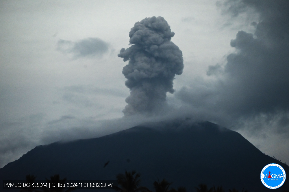
An eruption of Mount Ibu occurred on Friday, 1 November 2024 at 18:11 WIT with the height of the ash column observed at ±700 m above the summit (±2,025 m above sea level). The ash column was observed to be grey with a thick intensity, oriented towards the South and Southwest. This eruption was recorded on a seismograph with a maximum amplitude of 28 mm and a duration of 62 seconds.
VOLCANO OBSERVATORY NOTICE FOR AVIATION – VONA
Issued : November 01 , 2024
Volcano : Ibu (268030)
Current Aviation Colour Code : ORANGE
Previous Aviation Colour Code : orange
Source : Ibu Volcano Observatory
Notice Number : 2024IBU972
Volcano Location : N 01 deg 29 min 17 sec E 127 deg 37 min 48 sec
Area : North Maluku, Indonesia
Summit Elevation : 4240 FT (1325 M)
Volcanic Activity Summary :
Eruption with volcanic ash cloud at 18h11 UTC (03h11 local).
Volcanic Cloud Height :
Best estimate of ash-cloud top is around 6480 FT (2025 M) above sea level or 2240 FT (700 M) above summit. May be higher than what can be observed clearly. Source of height data: ground observer.
Other Volcanic Cloud Information :
Ash cloud moving to south. Volcanic ash is observed to be gray. The intensity of volcanic ash is observed to be thick.
Remarks :
Eruption recorded on seismogram with maximum amplitude 28 mm and maximum duration 62 second.
Source et photo : Magma Indonésie
Vanuatu , Ambrym :
Thursday October 31st 2024
16°15’00”S 168°07’00”E
Summit Elevation 4377ft (1334m)
Current Volcano Alert Level: Level 2
Ambrym volcanic activity is continuing in the major unrest state. Ambrym Volcanic Alert Level remains at Level 2.
Major volcanic unrest continues at Ambrym volcano and remains confined inside Benbow and Marum craters. New field observations and data analysis have confirmed that Ambrym volcanic activity conditions at this major unrest state remain unstable. It is likely that its activity continue at this similar level, consistent with Volcanic Alert Level 2. The danger zone for life safety remain at 1 km radius from Benbow crater and 2 km radius from Marum crater and major cracked of 2018 eruption at the south eastern part of Ambrym.
Recent field observation photos via webcam showed ongoing small steam cloud emission (fumarole) from both craters. On 3rd October 2024, the satellite image have detected evidence of low thermal anomaly around the volcano indicating an increase in surface temperature due to the presence of the magma at the earth surface. Analysis of seismic data confirmed the ongoing major volcanic unrest activity on Ambrym. With this volcanic activity, volcanic hazards remain inside Benbow crater, areas around Marum crater and areas of major cracks of 2018 eruption at the South East of Ambrym.
Source : Geohazard
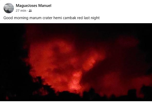
Photo : MagueJoses Manuel via Haos Blong Volkeno
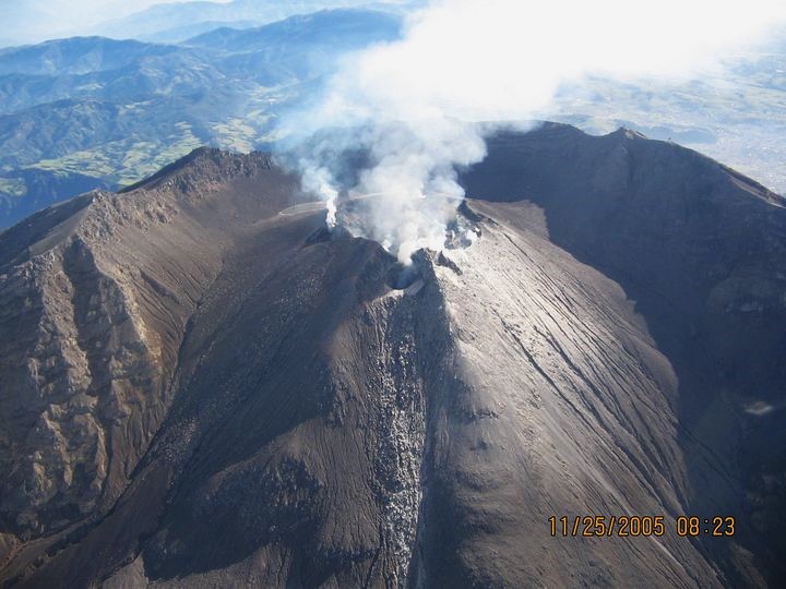
Colombia , Galeras :
San Juan de Pasto, October 29, 2024, 5:30 p.m.
Regarding the monitoring of the activity of the Galeras volcano, the Colombian Geological Survey (SGC), an entity attached to the Ministry of Mines and Energy, reports that:
During the week of October 22 to 28, 2024, the activity of the volcano maintained a stable behavior. Compared to the previous week, the main variations in the monitored parameters were:
● A decrease in seismic occurrence was recorded with an increase in the energy released.
● The seismicity associated with the fracture of rocks within the volcanic system maintained its predominance, both in terms of occurrence and energy.
● Most of the fracture earthquakes occurred at shallow depths and in the vicinity of the current active cone, with magnitudes lower than 1.6. Other earthquakes were located scattered around the volcanic edifice, at distances of up to 13 km, at depths of up to 14 km and with magnitudes less than 1.
● Small columns of white gas emissions were observed from the fumarole fields of Las Chavas, to the West; and El Paisita, to the North of the active cone. These emissions were of low height and variable dispersion due to the action of the winds.
● The other volcanic monitoring parameters showed stability.
Based on the above, the SGC recommends to closely monitor the evolution through the weekly bulletins and other information published through our official channels, as well as the instructions of the local and departmental authorities and the National Disaster Risk Management Unit (UNGRD).
The volcanic activity remains in yellow alert status: active volcano with changes in the behavior of the base level of the monitored parameters and other manifestations.
Source et photo : SGC
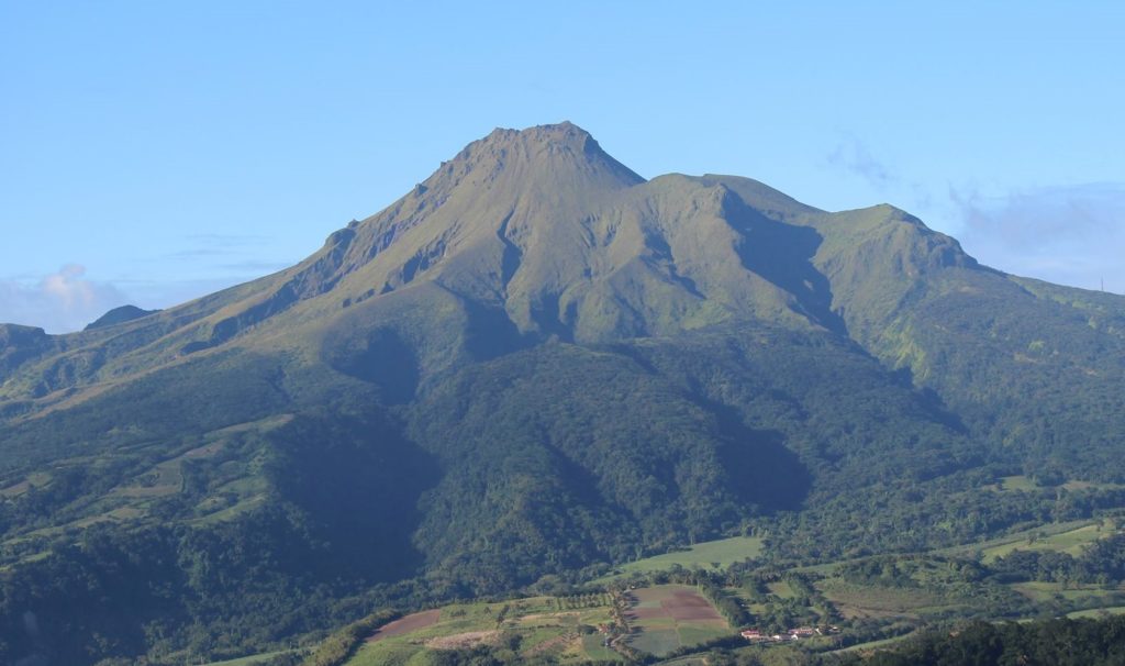
La Martinique , Mount Pelée :
Weekly report, Institut de physique du globe de Paris / Observatoire volcanologique et seismologique de Martinique
Saint-Pierre, November 1, 2024 at 17:00 local time (GMT-4)
Volcanic activity increased slightly this week with 13 earthquakes of volcanic origin observed.
Between October 25, 2024 at 16:00 (UT) and November 1, 2024 at 16:00 (UT), the OVSM recorded 13 low-energy volcano-tectonic earthquakes. These earthquakes were clearly identified as originating from one of the well-known seismically active zones at Mount Pelée, located between 1.0 and 1.4 km deep below the summit of the volcano. The superficial seismicity of the volcano-tectonic type is associated with micro-fracturing in the volcanic edifice in connection with the global reactivation of the volcano observed since the end of 2018.
No earthquake was felt by the population.
The previous week, the OVSM had recorded 2 earthquakes of volcanic origin. As of November 1, 2024 and during the last 4 weeks, the OVSM has therefore observed a total of 28 volcanic earthquakes, or an average of 7 earthquakes per week.
During the volcanic reactivation phases of volcanoes similar to Mount Pelée, it is usual to observe seismic activity that varies in intensity and frequency.
For more details on observations and interpretations of volcanic activity over the longer term, refer to the OVSM monthly bulletins.
The alert level is currently YELLOW: vigilance.
Source et photo : Direction de l’OVSM-IPGP.

