July 11 , 2024.
Italy / Sicily , Etna :
Press release on the activity of Etna, July 11, 2024, 01:45 (23:45 UTC).
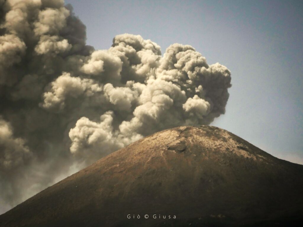
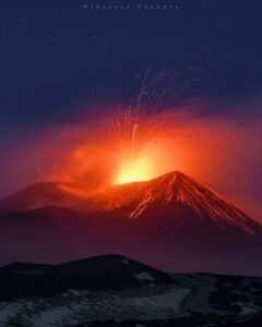
The National Institute of Geophysics and Volcanology, Osservatorio Etneo, communicates that according to the analysis of images from surveillance cameras, a progressive increase in Strombolian activity in the Voragine crater was observed from around 22 UTC hours, which resumed in the afternoon of yesterday July 10. The forecast model for the dispersion of any eruptive cloud indicates a direction towards the South. This activity produces ash emissions which, in accordance with the forecast model, disperse in a southerly direction.
The average amplitude of the volcanic tremor, after a gradual increase observed from 18 UTC yesterday July 10, has currently reached the high level, with an upward trend. The centroid of the volcanic tremor sources is poorly located to the east of the Voragine crater, at an altitude of approximately 2,800 m above sea level.
Infrasound activity is high and the sources of the events are located at the level of the Voragine crater.
Regarding deformations, the inclinometer and GNSS sensor networks currently do not show significant variations. The dilatometer of the deep well of the DRUV station shows a progressive compression which, in recent days, since the July 7 fountain, has accumulated approximately 170 nanostrain.
Further updates will be communicated shortly.
Source : INGV
Photo : Gio Giusa.
Chile , Laguna del Maule :
Special Report on Volcanic Activity (REAV), del Maule regions, Laguna del Maule volcanic complex, July 9, 2024, 10:12 p.m. local time (mainland Chile)
The National Geology and Mining Service of Chile (Sernageomin) announces the following PRELIMINARY information, obtained through the monitoring equipment of the National Volcanic Monitoring Network (RNVV), processed and analyzed at the Southern Andean Volcano Observatory (Ovdas):
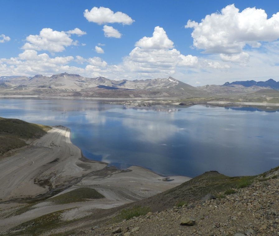
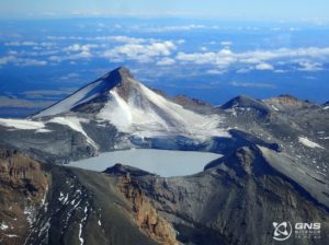
On Tuesday, July 9 at 9:12 p.m. (01:12 UTC on July 10), monitoring stations installed near the Laguna del Maule volcanic complex recorded a volcano-tectonic seismic swarm (associated with fracturing of rocks). At the time of issuing this report, more than 114 events have been recorded.
The characteristics of the largest earthquake after its analysis are as follows:
ORIGINAL TIME: 9:34 p.m. local time (01:34 UTC on July 10)
LATITUDE: 36.119°S
LONGITUDE: 70.606° West
DEPTH: 6.3 km
LOCAL MAGNITUDE: 0.1 (ML)
Observation :
At the time of issuing this report, the occurrence of volcano-tectonic seismicity continues with low to moderate energy events.
The technical volcanic alert is maintained at YELLOW level.
Source et photo : Sernageomin
Indonesia , Lewotobi Laki-laki :
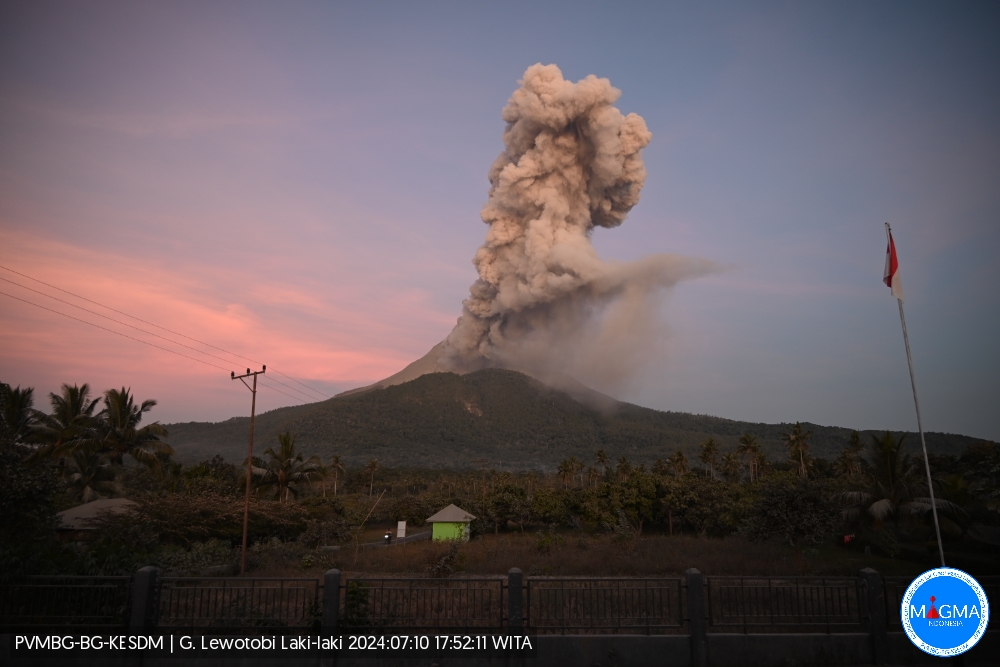
An eruption of Lewotobi Laki-laki occurred on Wednesday July 10, 2024, at 5:44 p.m. WITA with the height of the ash column observed at ± 1000 m above the summit (± 2584 m above sea level ). The ash column was observed to be gray with thick intensity, oriented towards the South-West and West. This eruption was recorded on a seismograph with a maximum amplitude of 37 mm and a duration of 422 seconds.
VOLCANO OBSERVATORY NOTICE FOR AVIATION – VONA
Issued : July 10 , 2024
Volcano : Lewotobi Laki-laki (264180)
Current Aviation Colour Code : ORANGE
Previous Aviation Colour Code : orange
Source : Lewotobi Laki-laki Volcano Observatory
Notice Number : 2024LWK201
Volcano Location : S 08 deg 32 min 20 sec E 122 deg 46 min 06 sec
Area : East Nusa Tenggara, Indonesia
Summit Elevation : 5069 FT (1584 M)
Volcanic Activity Summary :
Eruption with volcanic ash cloud at 09h44 UTC (17h44 local).
Volcanic Cloud Height :
Best estimate of ash-cloud top is around 8269 FT (2584 M) above sea level or 3200 FT (1000 M) above summit. May be higher than what can be observed clearly. Source of height data: ground observer.
Other Volcanic Cloud Information :
Ash cloud moving from southwest to west. Volcanic ash is observed to be gray. The intensity of volcanic ash is observed to be thick.
Remarks :
Eruption recorded on seismogram with maximum amplitude 37 mm and maximum duration 422 second.
PVMBG reported that eruptive activity at Lewotobi’s Laki-laki volcano continued during 3-9 July. Multiple daily gray or white-and-gray ash plumes that were sometimes dense rose 50-1,000 m above the summit and drifted SW, W, and NW. According to a news article a series of three black-to-gray ash plumes with increasing intensity occurred on 3 July; the first two plumes rose 700 m and 800 m, and the third, recorded at 1356, rose 3 km. The plumes drifted E, NW, W, and SW. The Alert Level remained at 3 (the second highest level on a scale of 1-4) and the public was warned to stay outside of the exclusion zone, defined as a 3-km radius around both Laki-laki and Perempuan craters, 4 km to the NNW and SSE of Laki-laki.
Sources : Magma Indonésie , GVP
Photo : Magma Indonésie.
Chile , Villarica :
Special Report on Volcanic Activity (REAV), Araucania regions, Villarica volcano, July 10, 2024, 9:30 p.m. local time (mainland Chile)
The National Geology and Mining Service of Chile (Sernageomin) announces the following PRELIMINARY information, obtained through the monitoring equipment of the National Volcanic Monitoring Network (RNVV), processed and analyzed at the Southern Andean Volcano Observatory (Ovdas):
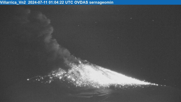
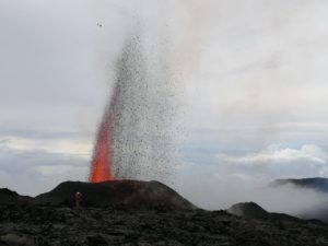
On Wednesday, July 10 at 9:04 p.m. (01:04 UTC on July 11), through surveillance cameras installed near the Villarica volcano, an explosion was recorded with the ejection of incandescent particulate and ballistic matter on the flanks of the volcanic edifice. The distance of the deposits reached approximately a distance of 500m around the crater. In addition, a column of gas and ash with a height of more than 600 m was recorded.
Observation :
At the time of the explosion mentioned in this report, a long period (LP) type earthquake of low seismic efficiency (DR: 7.3cm2) was recorded. Following this event, no significant changes in the continuous seismic signal of the Villarica volcano were recorded.
The technical volcanic alert is maintained at YELLOW level.
Source et photo : Sernageomin.
Japan , Sakurajima :
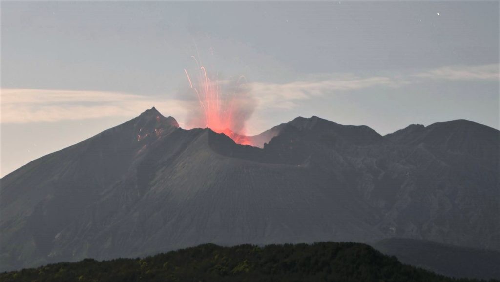
JMA reported ongoing eruptive activity at Minamidake Crater (Aira Caldera’s Sakurajima volcano) during 1-8 July. Nighttime crater incandescence was visible. An explosion at 2151 on 2 July produced an ash plume that rose 1.7 km above the crater rim and drifted NE, and also ejected large blocks 800-1,100 m from the vent. An explosion at 2208 on 4 July produced an ash plume that rose 900 m above the crater rim and drifted NE, with large blocks ejected 500-700 m from the vent. An eruptive event at 0513 on 8 July produced an ash plume that rose 2.3 km above the crater rim and drifted NE. The Alert Level remained at 3 (on a 5-level scale), and the public was warned to stay 1 km away from both craters.
The Aira caldera in the northern half of Kagoshima Bay contains the post-caldera Sakurajima volcano, one of Japan’s most active. Eruption of the voluminous Ito pyroclastic flow accompanied formation of the 17 x 23 km caldera about 22,000 years ago. The smaller Wakamiko caldera was formed during the early Holocene in the NE corner of the caldera, along with several post-caldera cones. The construction of Sakurajima began about 13,000 years ago on the southern rim and built an island that was joined to the Osumi Peninsula during the major explosive and effusive eruption of 1914. Activity at the Kitadake summit cone ended about 4,850 years ago, after which eruptions took place at Minamidake. Frequent eruptions since the 8th century have deposited ash on the city of Kagoshima, located across Kagoshima Bay only 8 km from the summit. The largest recorded eruption took place during 1471-76.
Sources: Japan Meteorological Agency (JMA) GVP.
Photo : Kyodo. ( archive).

