March 22 , 2024.
Iceland , Reykjanes Peninsula :
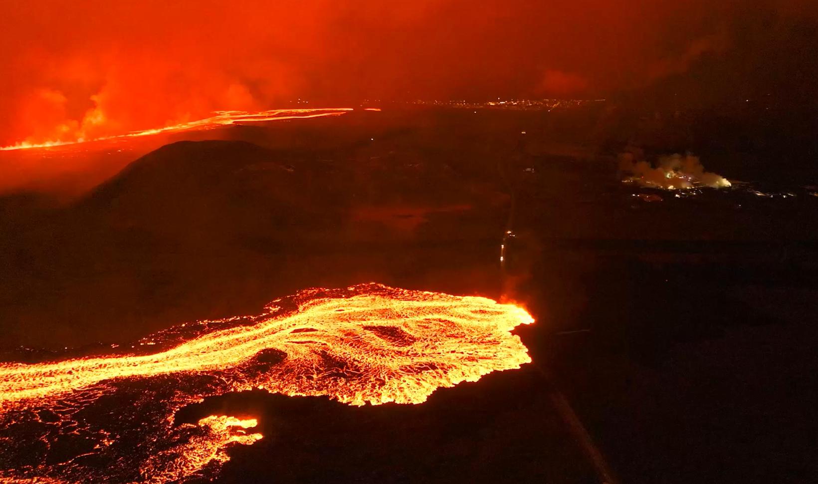
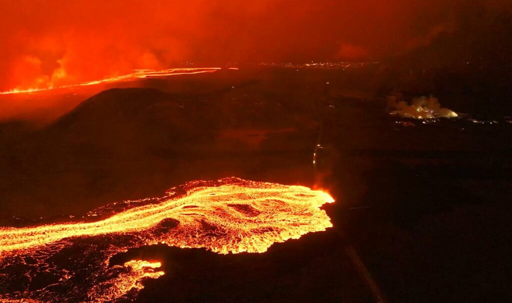
Eruptive activity decreased overnight during 16-17 March. Seismicity significantly decreased with only a few earthquakes recorded after 03h00 on 17 March, coinciding with decreased tremor. Lava flows to the S were diverted from Grindavík along the barriers towards the SE. The effusion rate decreased substantially at around 04h00, and lava was produced by a segment near the middle of the fissure that was 500 m long. By 13h00 lava fountaining was concentrated at three areas along the fissure. The S flow advanced at a rate of about 12 m per hour during 10h15-16h30 and a few hours later the leading lobe was about 330 m from Suðurstrandarvegur, the main road along the S coast of the Reykjanes Peninsula. During the morning sulfur dioxide emissions peaked at 15,000 micrograms per cubic meter and emissions detected by satellite that day were the highest measured of the recent 2023-2024 eruptions. Sulfur dioxide fluxes were as high as 50 kilograms per second. A news articles noted that some small lava ponds formed near the Grindavík barriers and at the flow near Suðurstrandarvegur. The area of the flow field was an estimated 5.85 square kilometers based on a satellite image acquired at 14h56 on 17 March.
The eruption continued at stable levels during 18-19 March. Lava activity was concentrated at a series of vents which had built cones at the S end of the fissure; occasional fountaining was observed. The lava flows that had crossed Grindavíkurvegur and stopped near Suðurstrandarvegur were slow moving. Deformation data suggested that magma continued to flow into the dyke system. According to Almannavarnadeild ríkislögreglustjóra (National Commissioner of the Icelandic Police and Department of Civil Protection and Emergency Management) Grindavík residents were permitted to return to town on 19 March, though it was not recommended that they stay overnight. The Blue Lagoon remained closed.
Sources : GVP , IMO.
Photo : mbl.is/Hörður Kristleifsson
Colombia , Purace / Los Coconucos Volcanic Range :
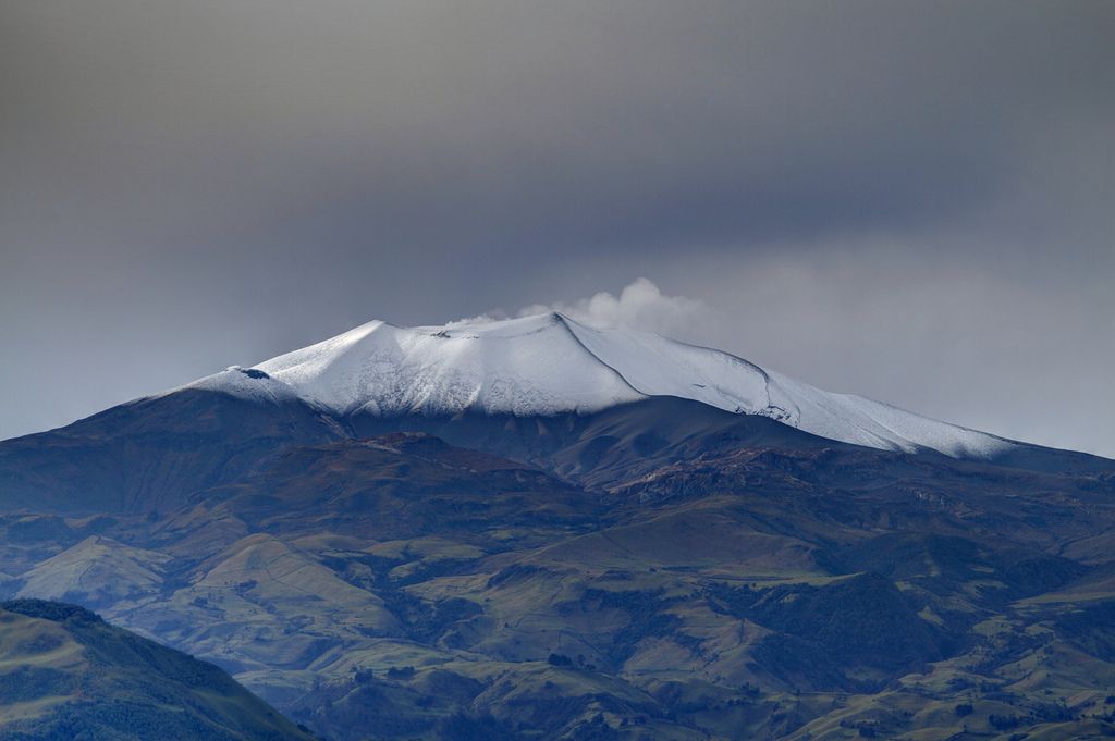
Weekly activity bulletin: Puracé Volcano – Los Coconucos volcanic Range
From the monitoring of the activity of the PURACE VOLCANO – LOS COCONUCOS VOLCANIC CHAIN, the MINISTRY OF MINES AND ENERGY, through the COLOMBIAN GEOLOGICAL SERVICE (SGC), reports that:
In the week of March 12 to 18, 2024, seismic activity presented levels similar to those of previous weeks, both in seismic energy released and in the number of events.
The fracture earthquakes recorded were mainly located under the Puracé volcano edifice, with depths less than 6 km and magnitudes less than 1.1 ML; while the earthquakes associated with the fluids were located in two areas: one under the crater of the volcano, at depths less than 500 m, and another to the South-East of it, at depths between 1.5 and 6.0 km.
During the period evaluated, deformations continued to be recorded between the Puracé and Curiquinga volcanoes. Likewise, the concentration of carbon dioxide (CO2) continued to oscillate and remains above reference values on this volcano. The increase in sulfur dioxide (SO2) flux detected in previous weeks continued to be recorded.
Images obtained using installed cameras show that significant degassing of the volcanic system continues.
Other parameters measured and used for the assessment of volcanic activity showed no notable changes during the period evaluated.
The alert status for volcanic activity remains at: YELLOW ALERT: ACTIVE VOLCANO WITH CHANGES IN THE BEHAVIOR OF THE BASE LEVEL OF MONITORED PARAMETERS AND OTHER MANIFESTATIONS.
Source : SGC
Photo : José M. Arboleda
Indonesia , Semeru :
Mount Semeru erupted on Thursday, March 21, 2024, at 7:33 p.m. WIB. The height of the eruptive column was not observed. The eruption was recorded on a seismograph with a maximum amplitude of 22 mm and a duration of 111 seconds.
Issued : March 21 , 2024
Volcano : Semeru (263300)
Current Aviation Colour Code : ORANGE
Previous Aviation Colour Code : orange
Source : Semeru Volcano Observatory
Notice Number : 2024SMR201
Volcano Location : S 08 deg 06 min 29 sec E 112 deg 55 min 12 sec
Area : East java, Indonesia
Summit Elevation : 11763 FT (3676 M)
Volcanic Activity Summary :
Eruption at 12h33 UTC (1933 local).
Volcanic Cloud Height : Ash-cloud is not observed.
Other Volcanic Cloud Information : Ash-cloud is not observed.
Remarks :
Eruption recorded on seismogram with maximum amplitude 22 mm and maximum duration 111 second.
Observation of seismicity:
14 eruption earthquakes with an amplitude of 10 to 22 mm and a duration of 69 to 101 seconds.
9 emission earthquakes with an amplitude of 3 to 4 mm and duration of the earthquake from 25 to 52 seconds.
2 deep tectonic earthquakes with an amplitude of 13-30 mm, and earthquake duration 131-472 seconds.
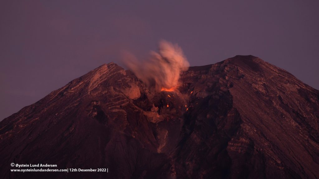
PVMBG reported that eruptive activity continued at Semeru during 13-19 March. Eruptive events were recorded at 00h47 on 15 March and at 16h53 on 17 March by the seismic network, though emissions were not observed. At 06h25 on 19 March a dense white-and-gray ash plume rose 500 m above the summit and drifted NE. The Alert Level remained at 3 (the third highest level on a scale of 1-4). The public was warned to stay at least 5 km away from the summit in all directions, 13 km from the summit to the SE, 500 m from the banks of the Kobokan drainage as far as 17 km from the summit, and to avoid other drainages including the Bang, Kembar, and Sat, due to lahar, avalanche, and pyroclastic flow hazards.
Sources : Magma indonésie , GVP.
Photo : Oystein Lund Andersen ( archive)
Kamchatka , Sheveluch :
VOLCANO OBSERVATORY NOTICE FOR AVIATION (VONA)
Issued: March 21 , 2024
Volcano: Sheveluch (CAVW #300270)
Current aviation colour code: ORANGE
Previous aviation colour code: orange
Source: KVERT
Notice Number: 2024-13
Volcano Location: N 56 deg 38 min E 161 deg 18 min
Area: Kamchatka, Russia
Summit Elevation: 3283 m (10768.24 ft), the dome elevation ~2500 m (8200 ft)
Volcanic Activity Summary:
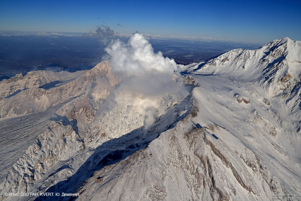
Video and satellite data by KVERT shows a strong wind lifts ash from the southern slopes of Sheveluch volcano, and a plume of resuspended ash is extending about 35 km to the eastsouth-east of the volcano.
An extrusive-effusive eruption of the volcano continues. A danger of ash explosions up to 6 km (19,700 ft) a.s.l. remains. Ongoing activity could affect low-flying aircraft.
Volcanic cloud height:
1500-2000 m (4920-6560 ft) AMSL Time and method of ash plume/cloud height determination: 20240321/2310Z – Video data
Other volcanic cloud information: Distance of ash plume/cloud of the volcano: 35 km (22 mi)
Direction of drift of ash plume/cloud of the volcano: ESE / azimuth 105 deg
Time and method of ash plume/cloud determination: 20240321/2240Z – Himawari-9 14m15
Remarks:
resuspended ash
Source : Kvert.
Photo : Yu. Demyanchuk. IVS FEB RAS, KVERT
Nicaragua , Massaya :
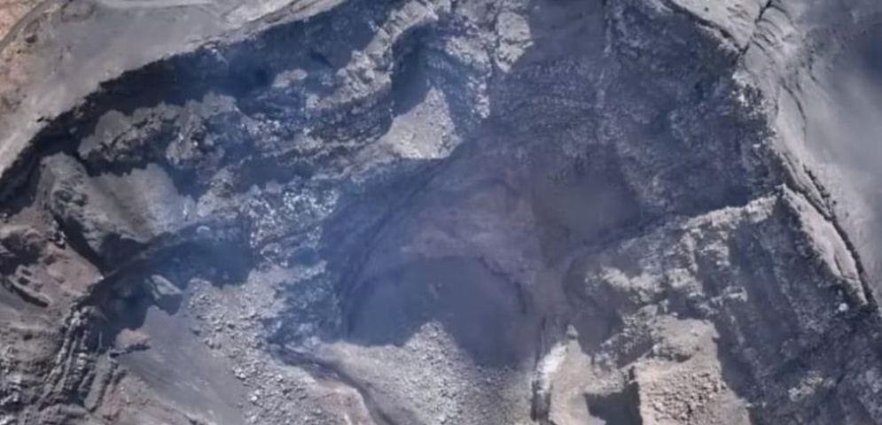
According to the U.S. Embassy in Nicaragua the Parque Nacional Volcán Masaya continued to be closed on 12 March due to an increased potential for explosive activity due to the blocking of the lava lake from landslide deposits in Santiago Crater. A satellite image from 13 March showed a slightly larger thermal anomaly on the NE crater floor compared to an 8 March image. According to a 13 March news article, INETER reported that landslides from the inner SW and NW crater walls were continuing. In a 14 March news article, a resident that lived near the volcano noted that the typical gas emissions seen before the 2 March landslide were no longer observed.
According to Ineter, landslides keep the lava lake covered, causing the secondary gas outlet temperature to increase by values above 545 degrees Celsius compared to normal.
Ineter explained that it had detected noises inside the volcano’s crater, following the rearrangement and subsidence of volcanic material.
These events come from the collision between rock fragments, which generates vibrations recorded in the form of seismic signals.
Sources :100% Noticias, Copernicus, Onda Local, U.S. Embassy in Nicaragua , GVP.
Photo : 100% noticias.

