November 28 , 2020.
Kamchatka , Klyuchevskoy :
VOLCANO OBSERVATORY NOTICE FOR AVIATION (VONA).
Issued: November 28 , 2020
Volcano: Klyuchevskoy (CAVW #300260)
Current aviation colour code: ORANGE
Previous aviation colour code: orange
Source: KVERT
Notice Number: 2020-219
Volcano Location: N 56 deg 3 min E 160 deg 38 min
Area: Kamchatka, Russia
Summit Elevation: 15580 ft (4750 m)
Volcanic Activity Summary:
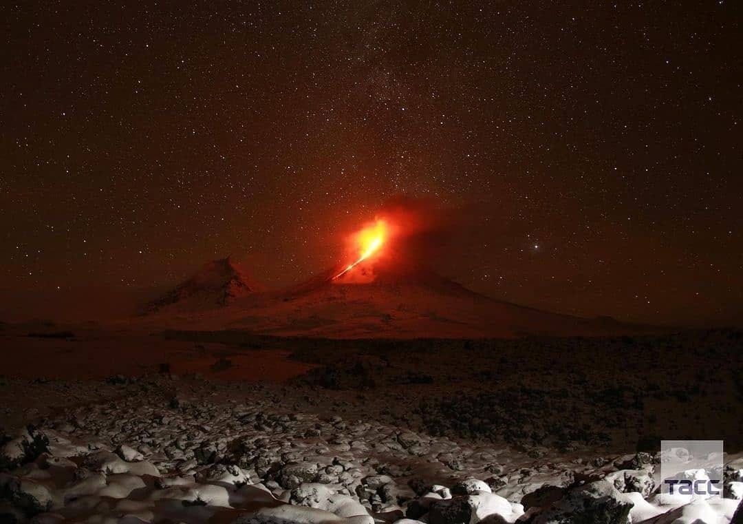
A moderate explosive-effusive eruption of the volcano continues, the Strombolian activity is observing. The lava flow continues to move along Apakhonchich chute on the southeastern volcanic flank. According to video and satellite data, a gas-steam plume containing some amount of ash on the height of 6 km a.s.l. is extending for 97 km to the east of the volcano.
This eruption of the volcano continues. Ash explosions up to 23,000-26,200 ft (7-8 km) a.s.l. could occur at any time. Ongoing activity could affect low-flying aircraft.
Volcanic cloud height:
19680 ft (6000 m) AMSL Time and method of ash plume/cloud height determination: 20201128/0050Z – Himawari-8
Other volcanic cloud information:
Distance of ash plume/cloud of the volcano: 60 mi (97 km)
Direction of drift of ash plume/cloud of the volcano: E / azimuth 87 deg
Time and method of ash plume/cloud determination: 20201128/0050Z – Himawari-8
Source : Kvert .
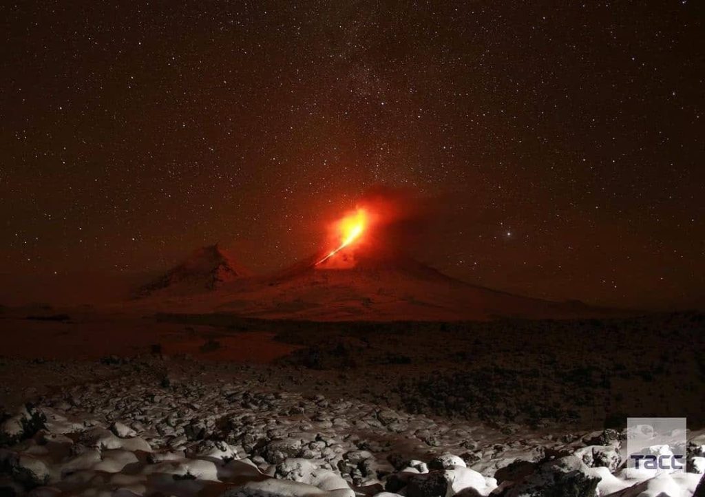
Photo : Информационное Агентство « 41 » via Sherine France .
Indonesia , Raung :
PRESS RELEASE
Decreased activity level of G. Raung, East Java from Level II (Waspada) to Level I (Normal), November 27, 2020
G. Raung’s activity level has been at Level II (Waspada) since July 17, 2020.
Surveillance data:
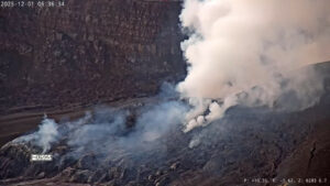
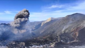
1. Visual: After the series of eruptions from July to August 2020, during the period from October 1 to 3, 2020, gray smoke emitted from the crater was observed with moderate intensity, amounting to approximately 50-300 meters above the summit. Eruptions again took place on October 1 and 2, 2020, causing an eruption column of up to 300 m above the summit. From October 4 to November 26, 2020, no gas emissions were observed nor any effusive or explosive eruption incident.
2. Seismicity: After the eruption of October 2, 2020, the seismicity was dominated by tectonic earthquakes. Volcanic earthquakes (tremors and emissions) always occur with insignificant numbers and tend to decrease, with decreasing seismic energy as evidenced by the decline in the RSAM graph. As of November 15, 2020, the only types of earthquakes recorded were distant tectonic and local tectonic earthquakes.
3. Deformation: the measurement of the deformation using the continuous geodetic GPS at 3 (three) permanent stations shows a deflation model of the body of the volcano
Analysis:
From the beginning of October to the end of November 2020, no gas emissions were observed from the crater. A decreasing number of volcanic earthquakes was noted, as well as a pattern of deflation of Mt. This indicates that the volcanic activity has significantly decreased. Currently, there is no magma feeding activity under G. Raung, which would lead to increased volcanic activity or new eruptions.
Potential danger:
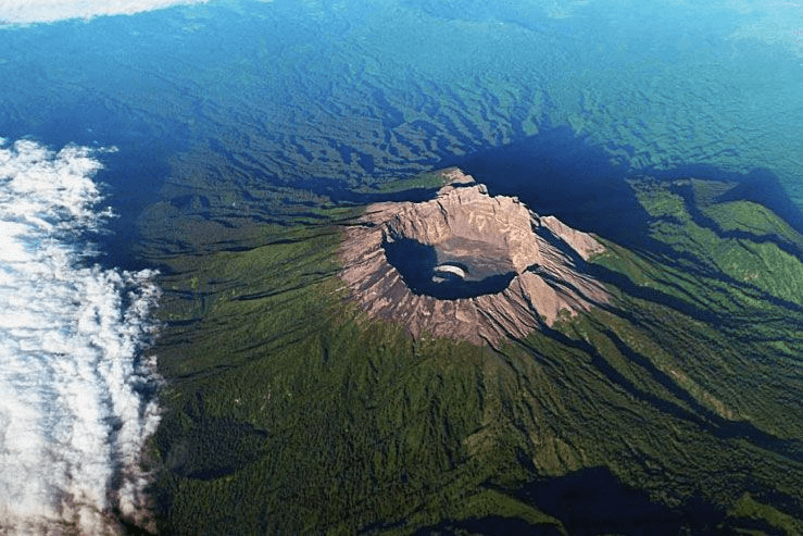
Potential threats from Mount Raung eruptions are lava flows and eruptions of incandescent rocks at the bottom of the crater. If the eruption increases in intensity, the distance of the ejection of the incandescent rocks can reach the edge of the crater. Currently, the potential danger is in the form of volcanic gases, the distribution of which is limited to the bottom of the crater.
Conclusion:
Based on the results of visual and instrumental monitoring, as well as their potential dangers, the activity level of G. Raung was lowered from level II (alert) to level I (normal), as of November 27, 2020 , at 09:00 WIB.
Recommendation:
In Level I (normal) status, people / visitors / tourists should not descend to the bottom of the crater, should not approach the crater at the top, and should not camp around the top / lip of the caldera / of the crater so as not to endanger human life.
Source : PVMBG.
Photo : Archipel360 .
Guatemala , Pacaya :
Type of activity: Strombolian.
Morphology: composite stratovolcano
Geographical location: 14 ° 22’50˝ Latitude N; 90 ° 36’00˝ Longitude W.
Height: 2,552 msnm.
Atmospheric conditions: Cloudy
Wind: North at 27 k / h
Precipitation: 0.0 mm.
Activity:
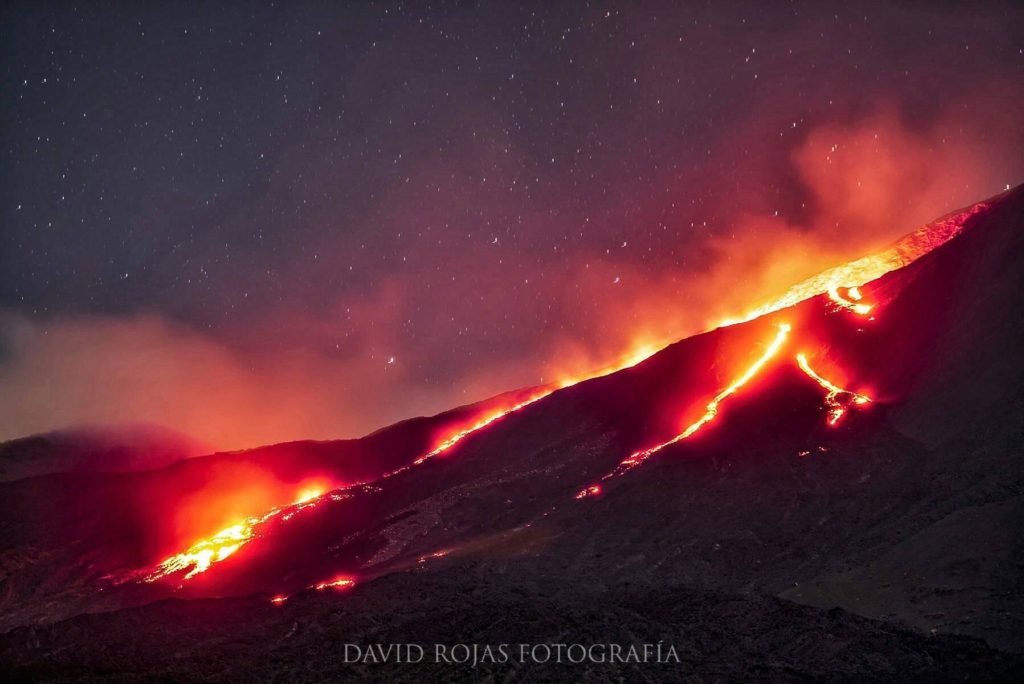
The OVPAC reports that activity is observed in the Mackenney crater, with white and blue fumaroles, weak explosions with heights of 100 meters above the crater, sometimes accompanied by puffs of ash which disperse towards the South and the southwest at low altitude, over a distance of 10 kilometers. Some explosions generate degassing sounds. On the southwest flank, the lava flow was maintained, reaching about 700 meters in length. The PCG and PCG5 seismic stations record tremors (internal vibrations) associated with the rise of magma, movements of the lava flow and gas pressure. Due to the speed of the wind, loose material is remobilized from the slopes of the volcano, forming curtains of ash. which disperses in the direction of the wind. (The recommendations of special bulletin 116-2020 remain).
Source : Insivumeh .
Photo : David Rojas via Rizal M.(Facebook).
Mexico , Popocatepetl :
November 27, 11:00 a.m. (November 27, 5:00 p.m. GMT)
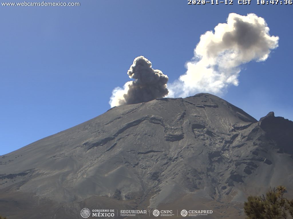
During the last 24 hours, thanks to the monitoring systems of the Popocatépetl volcano, 221 exhalations accompanied by water vapor, volcanic gases and sometimes with low ash content have been identified. In addition, 86 minutes of low amplitude tremor were recorded.
Since the morning, the volcano has been observed with a slight emission of water vapor and volcanic gases in a westerly direction.
CENAPRED urges NOT TO APPROACH the volcano and especially the crater, because of the danger posed by the fall of ballistic fragments and, in the event of heavy rains, to stay away from the bottom of the ravines because of the danger of lava flows. mud and debris.
The Popocatépetl volcanic alert semaphore is on YELLOW PHASE 2.
Source : Cenapred.

