February 18 , 2023.
Iceland , Askja :
No clear signs of an increase in activity at Askja, February 17 , 2023.
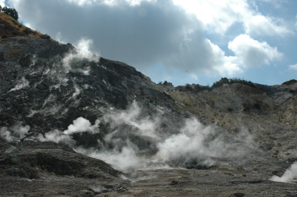
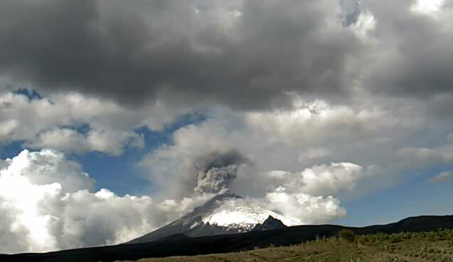
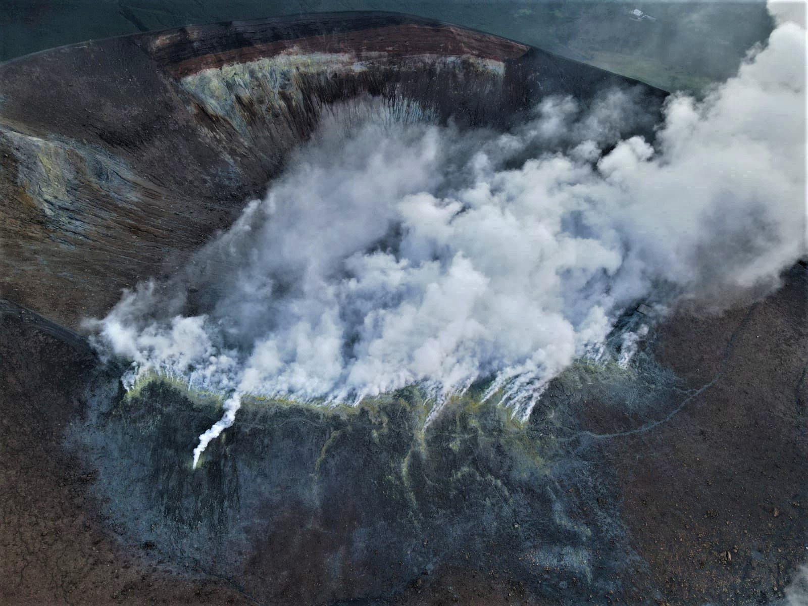
Seismic activity around Askja increased in August 2021 as uplift, most likely caused by a magmatic intrusion, began. The seismic activity was more elevated in November and December 2021 and has since the start of 2022 remained steady. At the same time, the uplift has continued at a very stable rate since the beginning of the unrest. The number of earthquakes in Askja is like what is considered to be background activity levels in volcanic areas. Most of the earthquakes have been on the eastern edge of Lake Askja and near active geothermal areas but some have occurred outside of the caldera, most notably in November 2019 when a seismic swarm occurred about 6 km east of the caldera ridge.
The uplift can give rise to earthquakes outside of the immediate area affected by the intrusion as it changes the surrounding stress field. This may be the case for the recent earthquake by Herðubreið, but this area frequently experiences earthquakes.
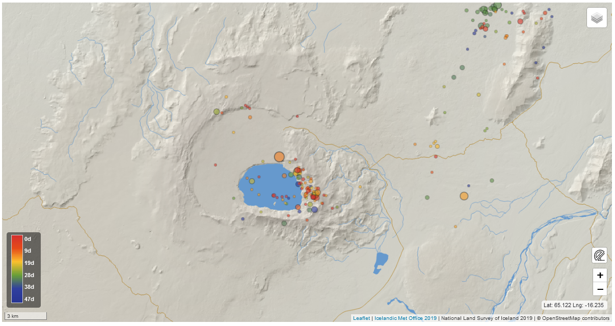
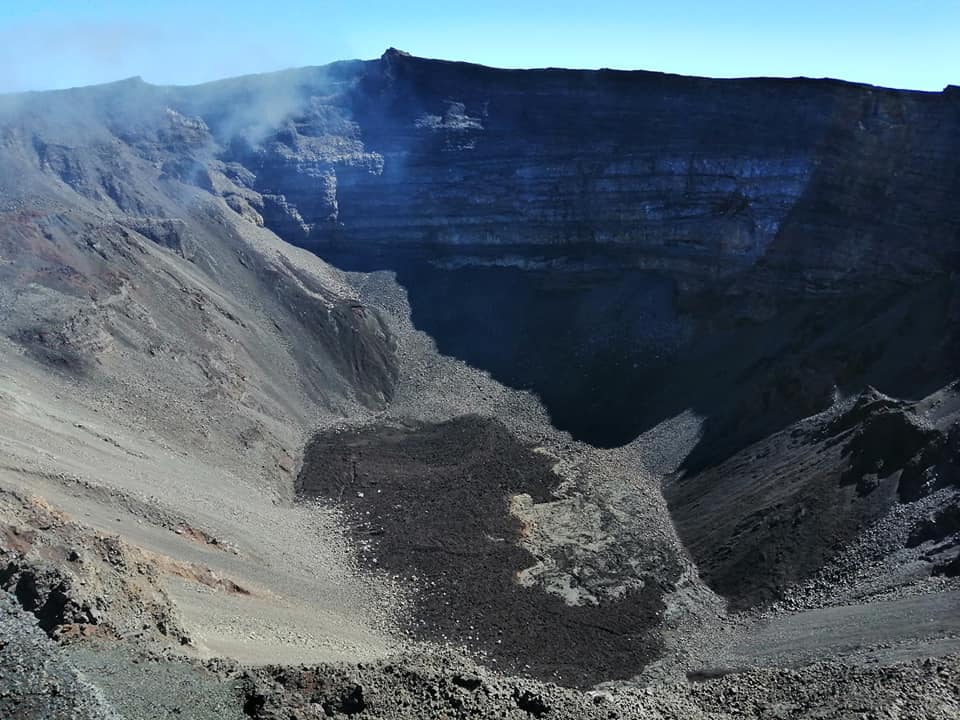
Map showing the locations of earthquakes so far this year. Most of the earthquakes have been on the eastern edge of Lake Askja and near active geothermal areas (Image captured from the earthquake webview of the Icelandic Met Office)
Askja is well monitored
„Askja is one of the volcanoes that we are closely monitoring 24/7“ says Sara Barsotti, coordinator for volcanic hazards at the Icelandic Met Office. „The instruments that we rely on should give us an indication of escalation in the days, and hopefully weeks, prior to an eruption. It is important to keep in mind when it comes to increased volcanic activity that there is most often an interplay between several phenomena, such as an increase of seismic activity as well as a change in the uplift as measured by the GPS network. As the situation is today, there is no clear indication that the activity in Askja is escalating and there is no reason to increase the monitoring above the present levels“, says Sara.
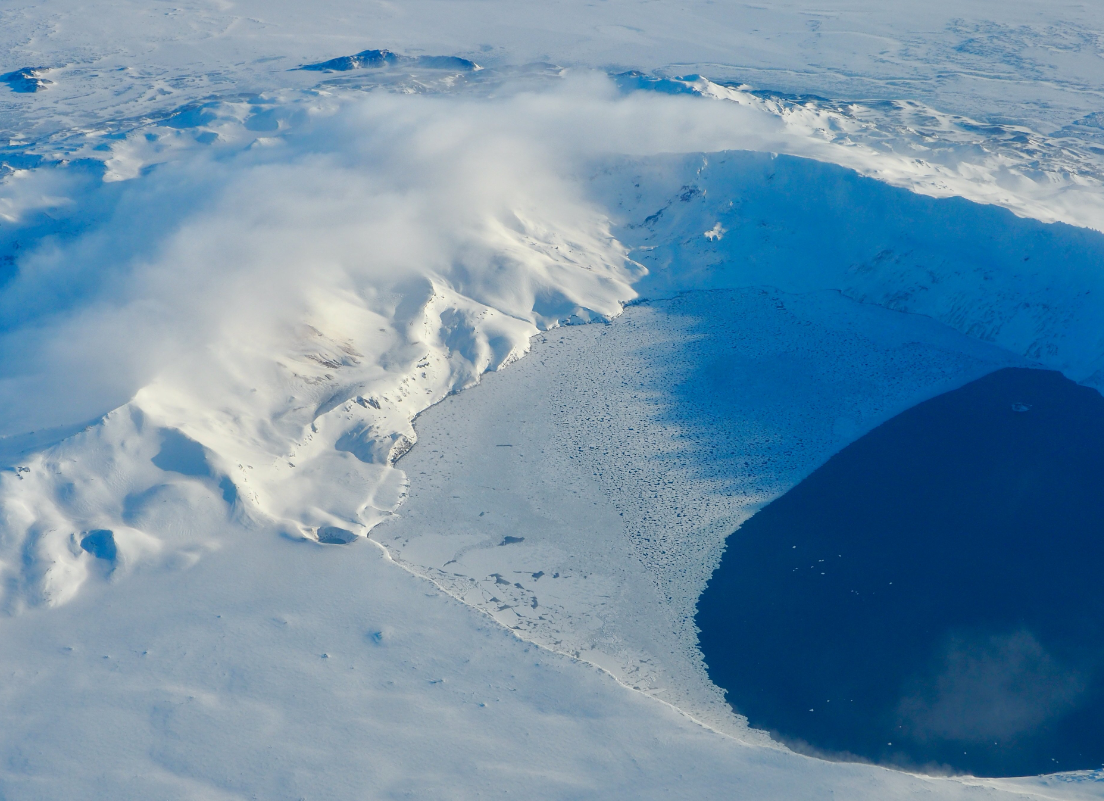
Technicians from the Icelandic Meteorological Office visited Askja in January to improve the monitoring of the volcano. Maintaining instruments at Askja and ensuring the continuous transmission of data is extremely challenging as Askja is in the Icelandic highlands and there is no cell phone reception inside the caldera. Yesterday a group of scientists from the Icelandic Meteorological Office and the University of Iceland joined a flight with the Icelandic Coast Guard aircraft TF-SIF. They flew over Askja where they were able to better observe the area in the hopes of clarifying the potential explanation for the unusually early melting of the ice on Lake Askja. The aircraft´s observation equipment including a camera, thermal camera, and radar were used to scan the lake and surrounding area. „Nothing unusual came to light to help explain what is causing the ice to melt,“ says Benedikt G. Ófeigsson, deformation specialist from the Icelandic Meteorological Office who was on board the TF-SIF. „No signs of increased geothermal activity were seen around the lake, nor were there other visible changes which could help clarify the why the melting is happening,“ says Benedikt.
Source : IMO.
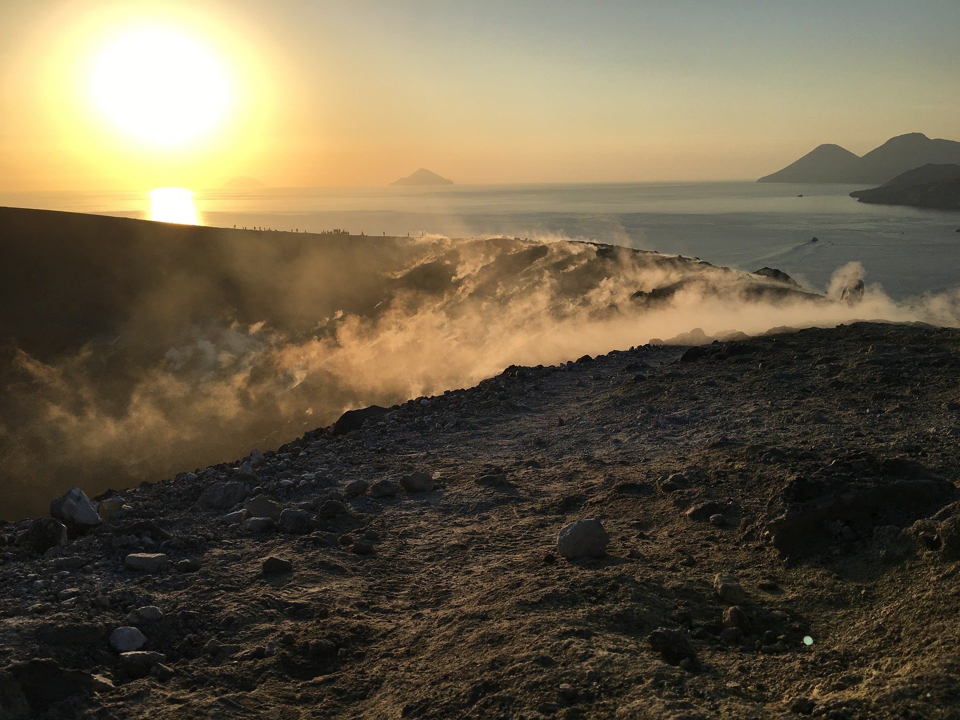
Photos : IMO , Ragnar Heiðar Þrastarson via Facebook.
Alaska , Great Sitkin :
52°4’35 » N 176°6’39 » W,
Summit Elevation 5709 ft (1740 m)
Current Volcano Alert Level: WATCH
Current Aviation Color Code: ORANGE
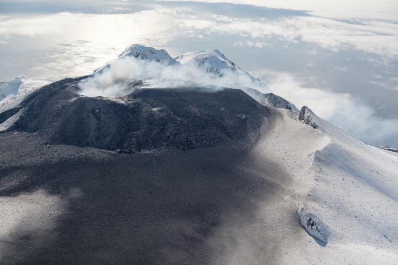
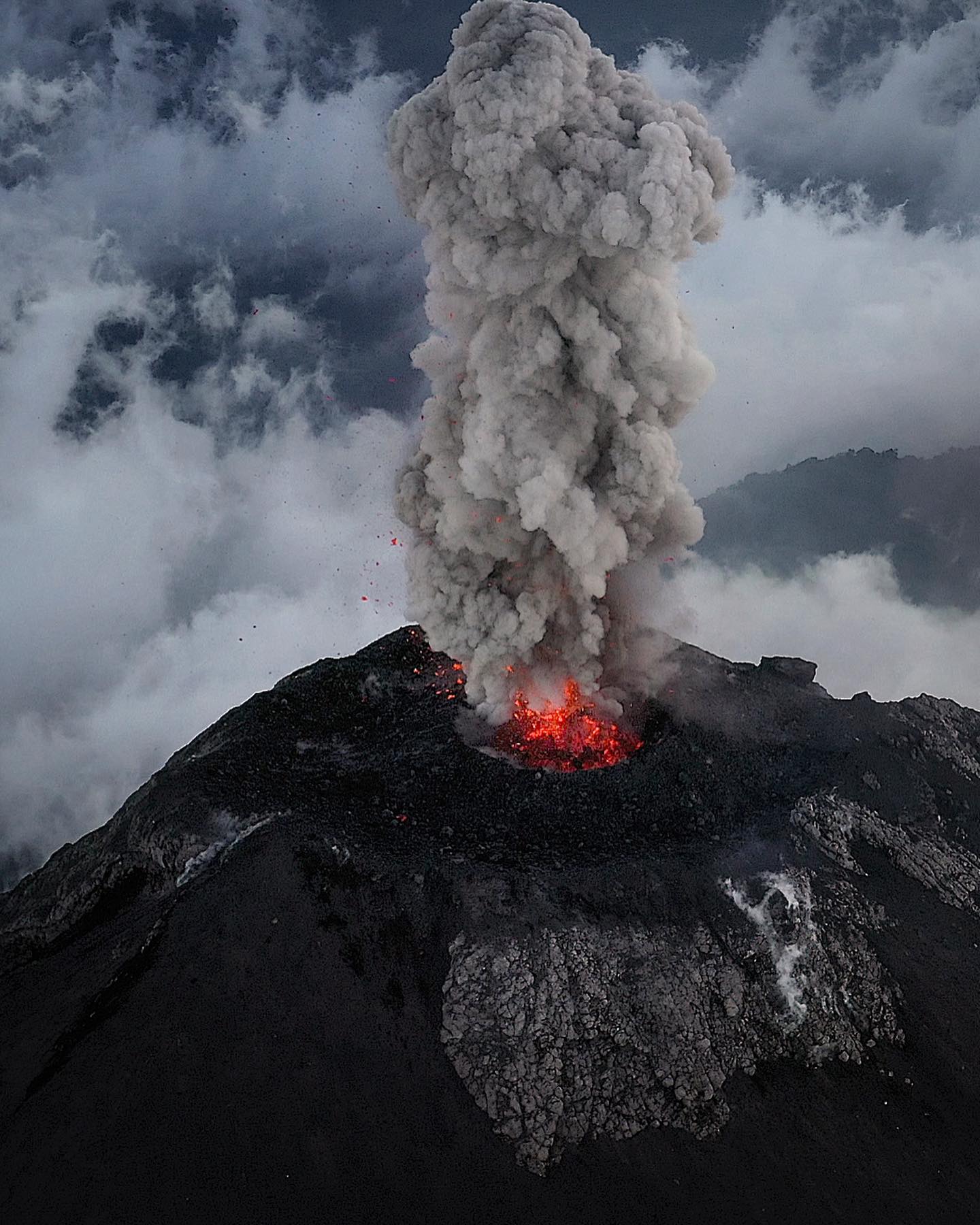
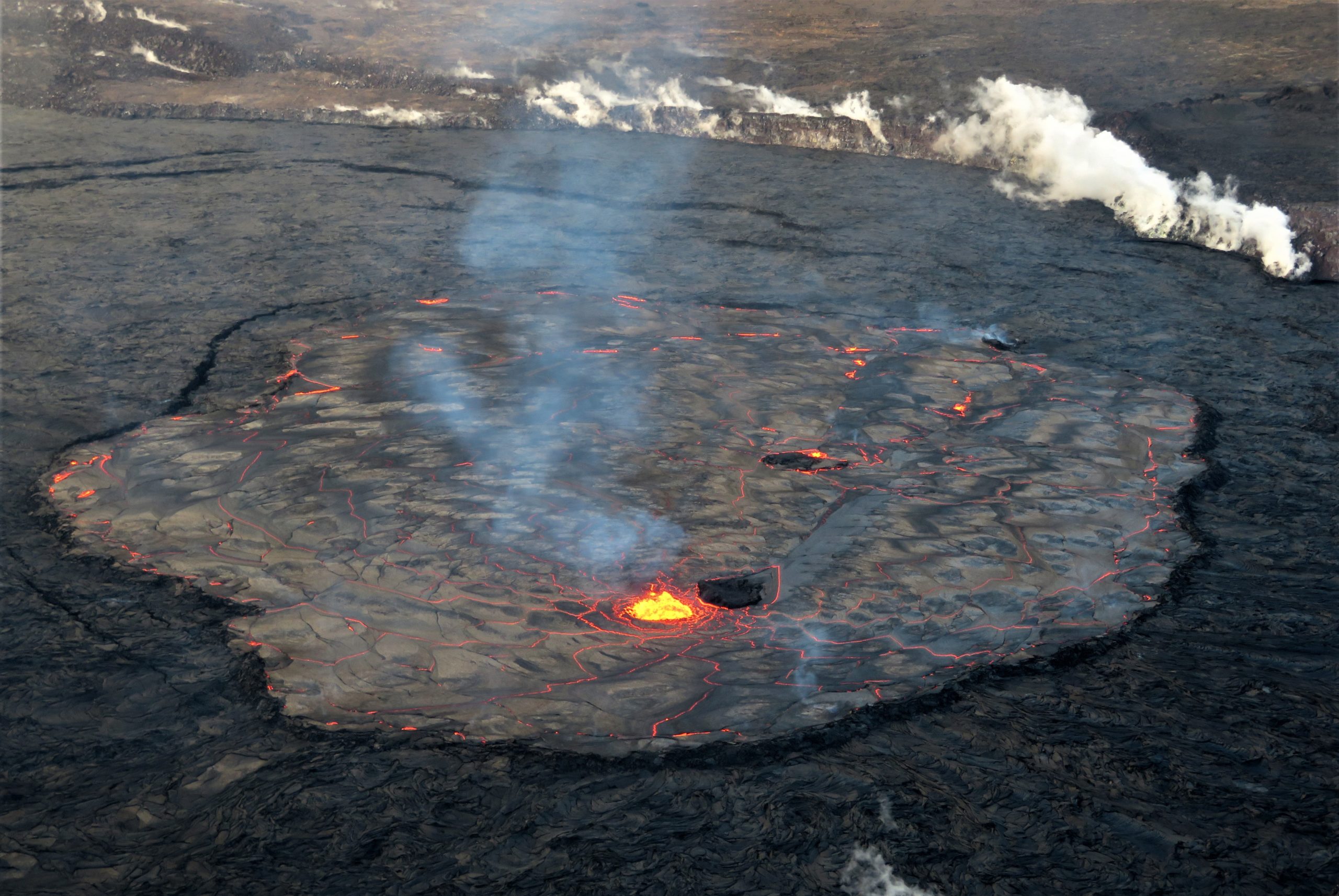
Lava continued to erupt within the summit crater of Great Sitkin at a low rate over the past week. Weather conditions were cloudy at the volcano for most of the week obscuring views of the summit. High resolution satellite-based radar data from February 15 showed that the lava flow continued advancing to the east into the remaining summit crater icefield. Small earthquakes were detected on some days, but seismic activity overall remains very low.
Great Sitkin is monitored by local seismic and infrasound sensors, satellite data, web cameras, and regional infrasound and lightning networks.
Source : AVO.
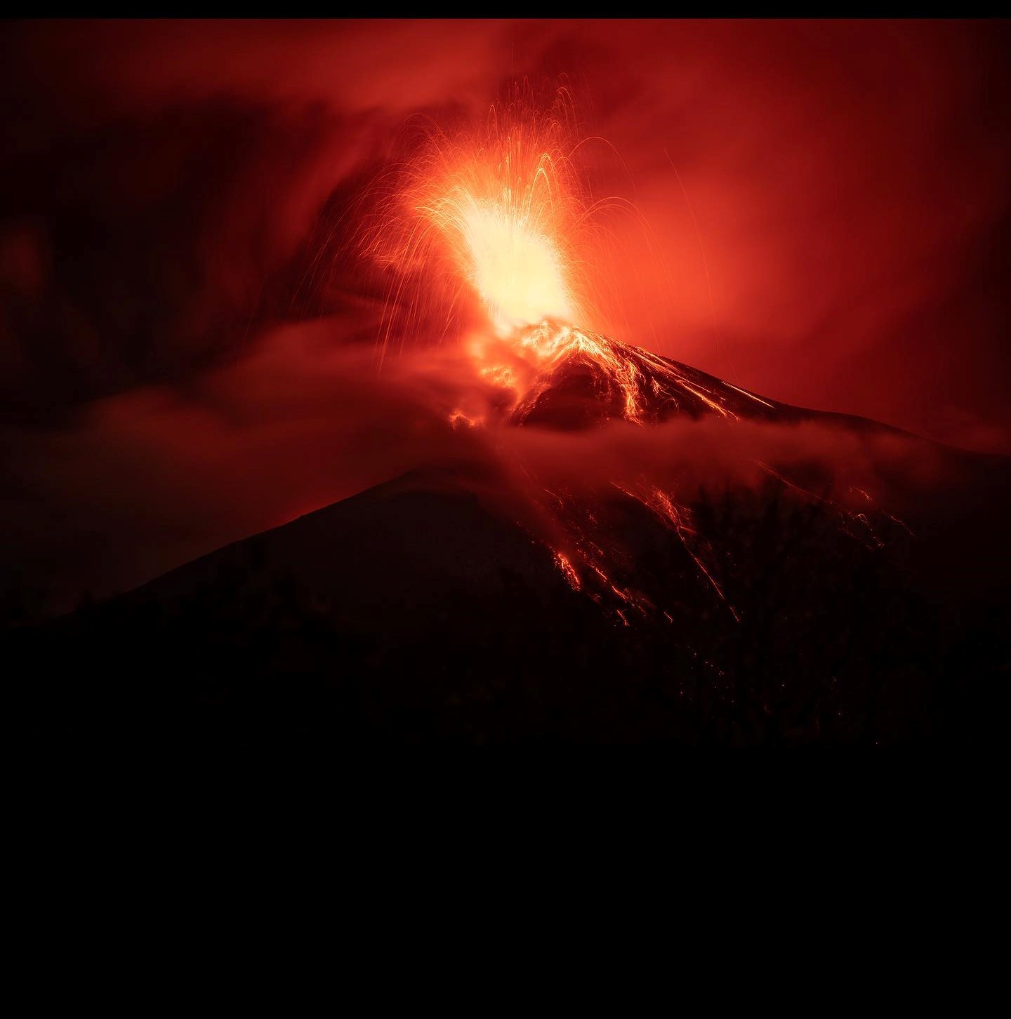
Photo : Loewen, Matt ( June 2021) .
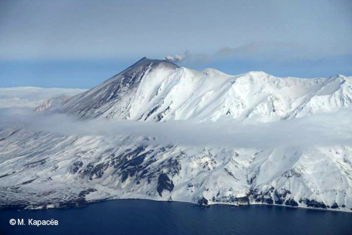
Russia / Kuril Islands , Chikurachki :
VOLCANO OBSERVATORY NOTICE FOR AVIATION (VONA)
Issued: February 18 , 2023.
Volcano: Chikurachki (CAVW #290360)
Current aviation colour code: GREEN
Previous aviation colour code: yellow
Source: KVERT
Notice Number: 2023-25
Volcano Location: N 50 deg 19 min E 155 deg 27 min
Area: Northern Kuriles, Russia
Summit Elevation: 1816 m (5956.48 ft)
Volcanic Activity Summary:
A gas-steam activity of the volcano continues. Satellite data by KVERT showed the last ash plume of the volcano was noted on 08 February. The explosive eruption of the volcano ended. There were two explosive events: from 28 January till 01 February, and on 05-08 February. KVERT continues to monitor Chikurachki volcano.
A gas-steam activity of the volcano continues. Ongoing activity could affect low-flying aircraft.
Volcanic cloud height: NO ASH CLOUD PRODUSED
Other volcanic cloud information: NO ASH CLOUD PRODUSED
Source : Kvert
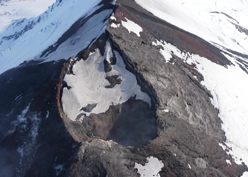
Photo : M. Karasev ( 2015) .
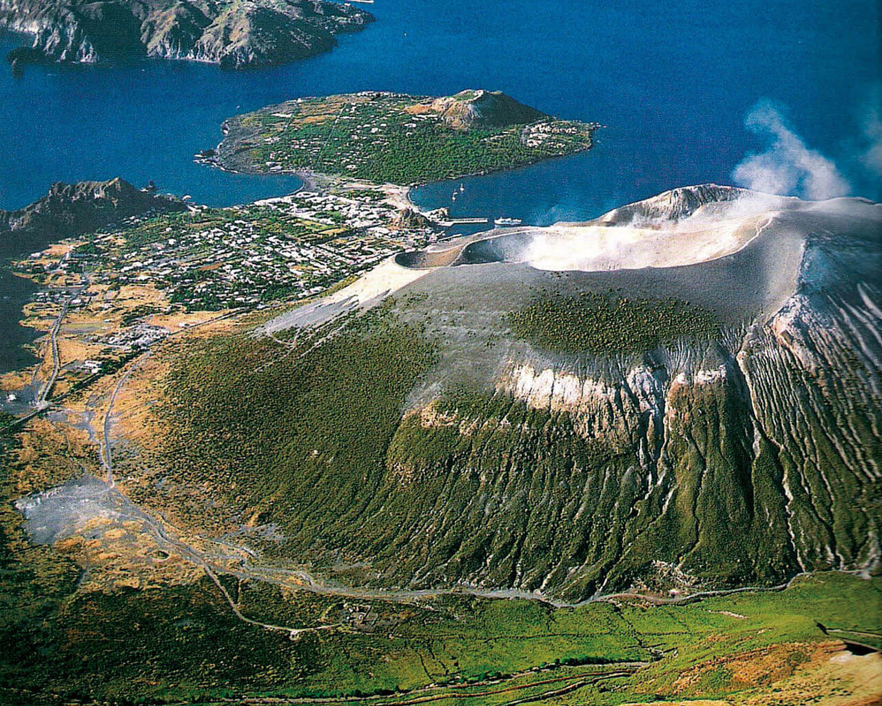
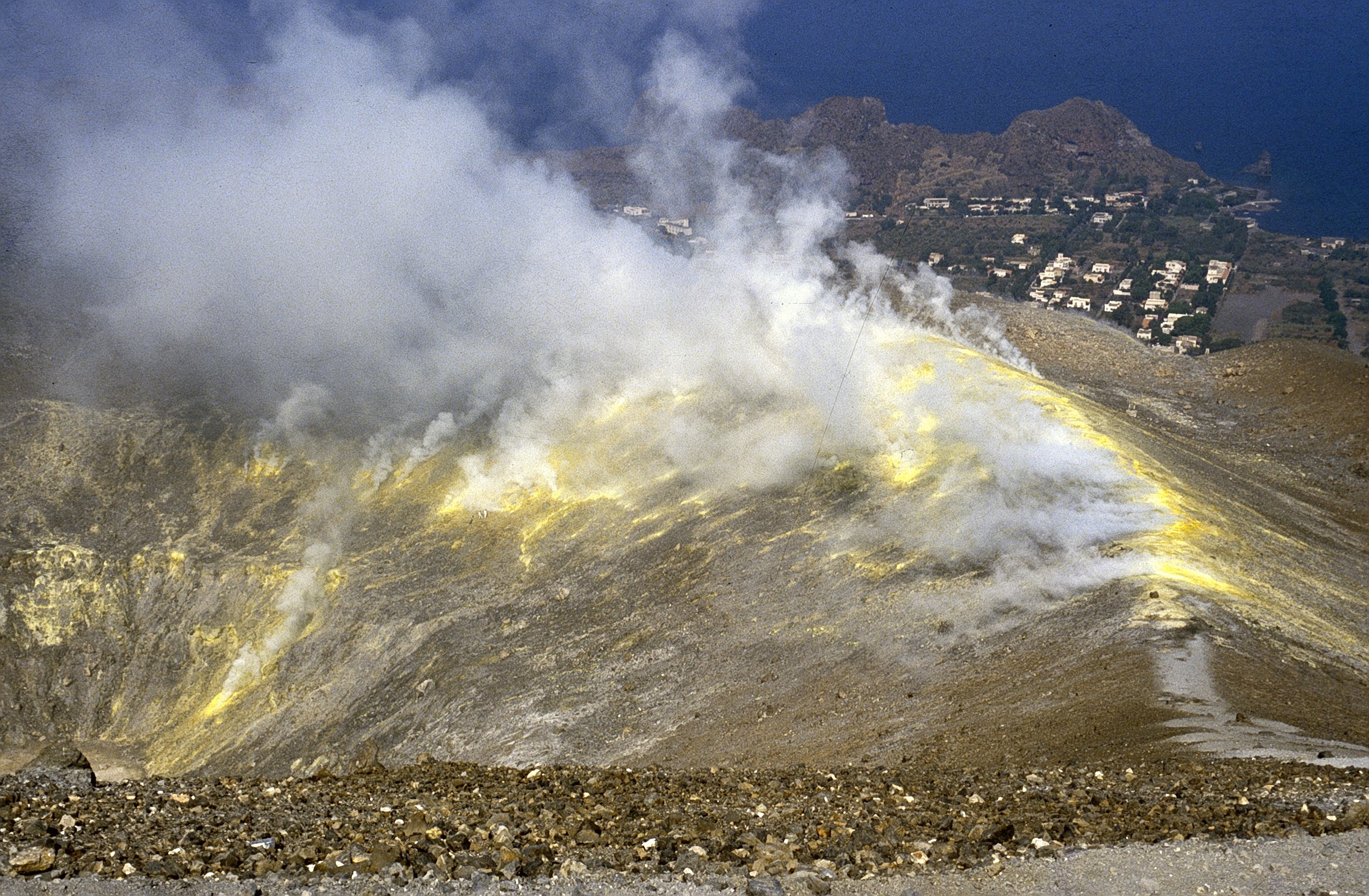
Italy , Vulcano :
WEEKLY BULLETIN, from February 06, 2023 to February 12, 2023. (issue date February 14, 2023)
ACTIVITY STATUS SUMMARY
In the light of the monitoring data, it is highlighted:
1) Temperature of the crater fumaroles: The temperatures recorded on the edge of the crater are stable at high values.
2) CO2 flux in the crater area: The CO2 flux in the crater area remains at high values.
3) SO2 flux in the crater area: at a moderately medium-high level and decreasing
4) Geochemistry of fumarolic gases: There are no updates
5) CO2 fluxes at the base of the La Fossa cone and in the Vulcano Porto area: In the Camping Sicilia and Rimessa sites, the CO2 fluxes show values above the background level and stable levels; on the P4max site, the flows are down slightly, while on the Faraglione site the values recorded are close to the background level with a slight upward trend.

6) Geochemistry of thermal aquifers: Stable temperature values are observed in the Camping Sicilia well; in the Bambara well, a slight upward trend in conductivity values is observed.
7) Local seismicity: Low occurrence rate of local microseismicity.
8) Regional seismicity: No earthquake with Ml>=1.0 was located in the area of the island of Vulcano.
9) Deformations – GNSS: The permanent GNSS network has not recorded any significant variations.
10) Deformations – Inclinometry: The inclinometric network did not record any significant variations.
11) Gravimetry: No significant change was recorded.
CRATER FUMEROLES TEMPERATURE:
The fumarolic field presented homogeneous emission temperatures along the summit fracture line, confirming a thermal anomaly maintained by a stable vapor flow. Along the summit rim, the emission temperature showed an hourly maximum of 366°C (T3). The hourly temperature range recorded on board is 395 to 366°C. The thermal signal to the reference sensor (T3) remained unchanged, while the emission temperature on 2 sensors (T1 and T2) has not yet returned to the values before January 20.
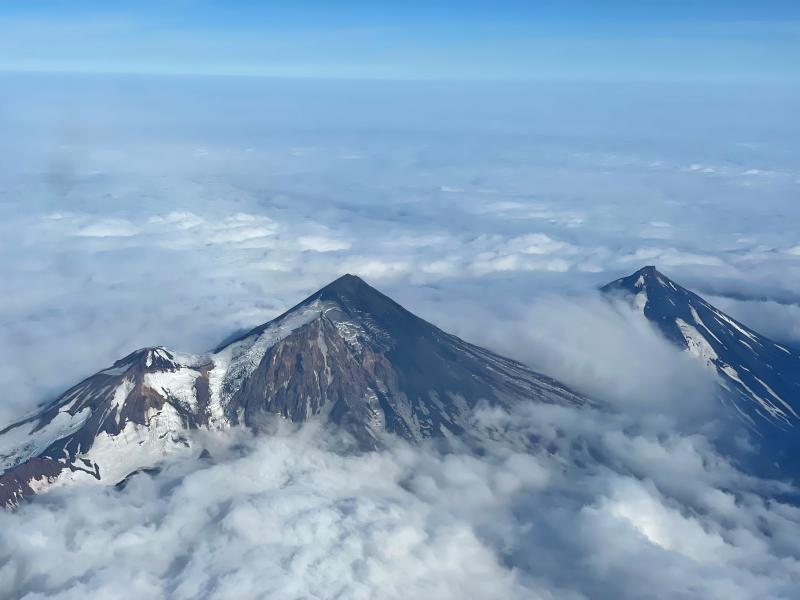
Source et photo : INGV.
Colombia , Purace / Los Coconucos Volcanic Range :
Puracé Volcano Weekly Activity Bulletin – Los Coconucos Volcanic Range
The level of activity of the volcano continues at the Yellow activity level or (III): changes in the behavior of volcanic activity.
From the analysis and evaluation of the information obtained through the monitoring network of the Puracé volcano – Los Coconucos volcanic chain, during the week of February 7 to 13, 2023, the COLOMBIAN GEOLOGICAL SERVICE – Volcanological and Seismological Observatory of Popayán reports that:
During the week evaluated, a total of 876 seismic events were recorded, of which 255 were associated with rock fracturing processes (type VT) and 621 with fluid dynamics in volcanic conduits.
On the 13th at 00:40 local time, a tremor pulse (TR) occurred located on the southeast flank of the Curiquinga volcano, followed by 30 low magnitude fracture events located on the southern flank of the Puracé volcano edifice. . Seismic activity after this signal returned to levels recorded in recent months.
The geodetic network of GNSS (Global Navigation Satellite System) stations monitoring ground deformation continues to record a process associated with inflation.
By monitoring the surface activity with the images obtained during the week, through the Mina, Lavas Rojas and Cerro Sombrero web cameras, a degassing of the volcanic system was highlighted, with a white column preferentially oriented towards the North -West.
The monitoring of volcanic gases continues to show a maximum flow of 3,315 t / day for SO2 and a concentration of more than 10,000 ppm for CO2, values relevant for the degassing process of this volcanic system.
Sensors monitoring electromagnetic fields and infrasonic waves did not record variations associated with changes in volcanic activity.
In conclusion, variations in volcanic activity continue to be recorded, in line with the behavior expected in a level of activity III (yellow level), which could evolve towards states of greater activity.
Source et photo : SGC