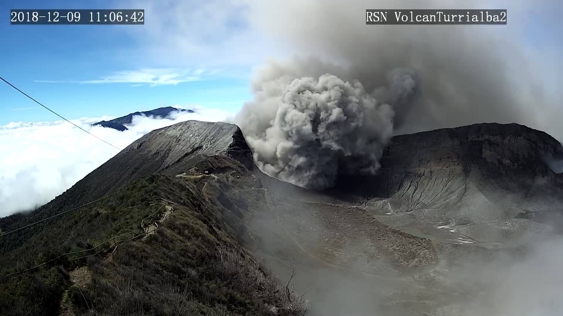
April 18 , 2019.
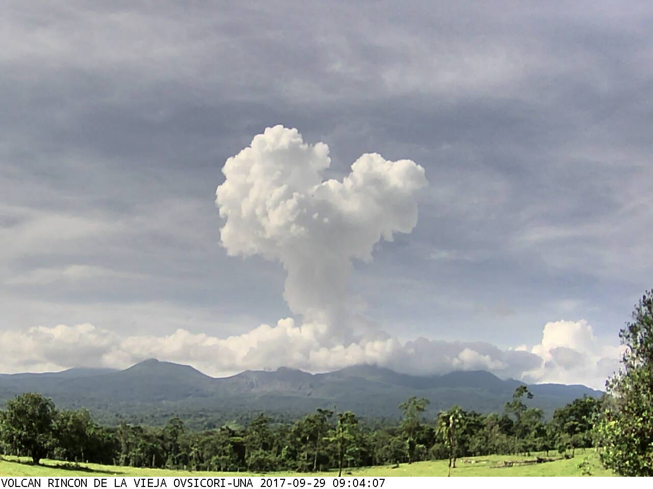
Costa Rica , Rincon de la Vieja :
10.83°N, 85.324°W
Elevation 1916 m
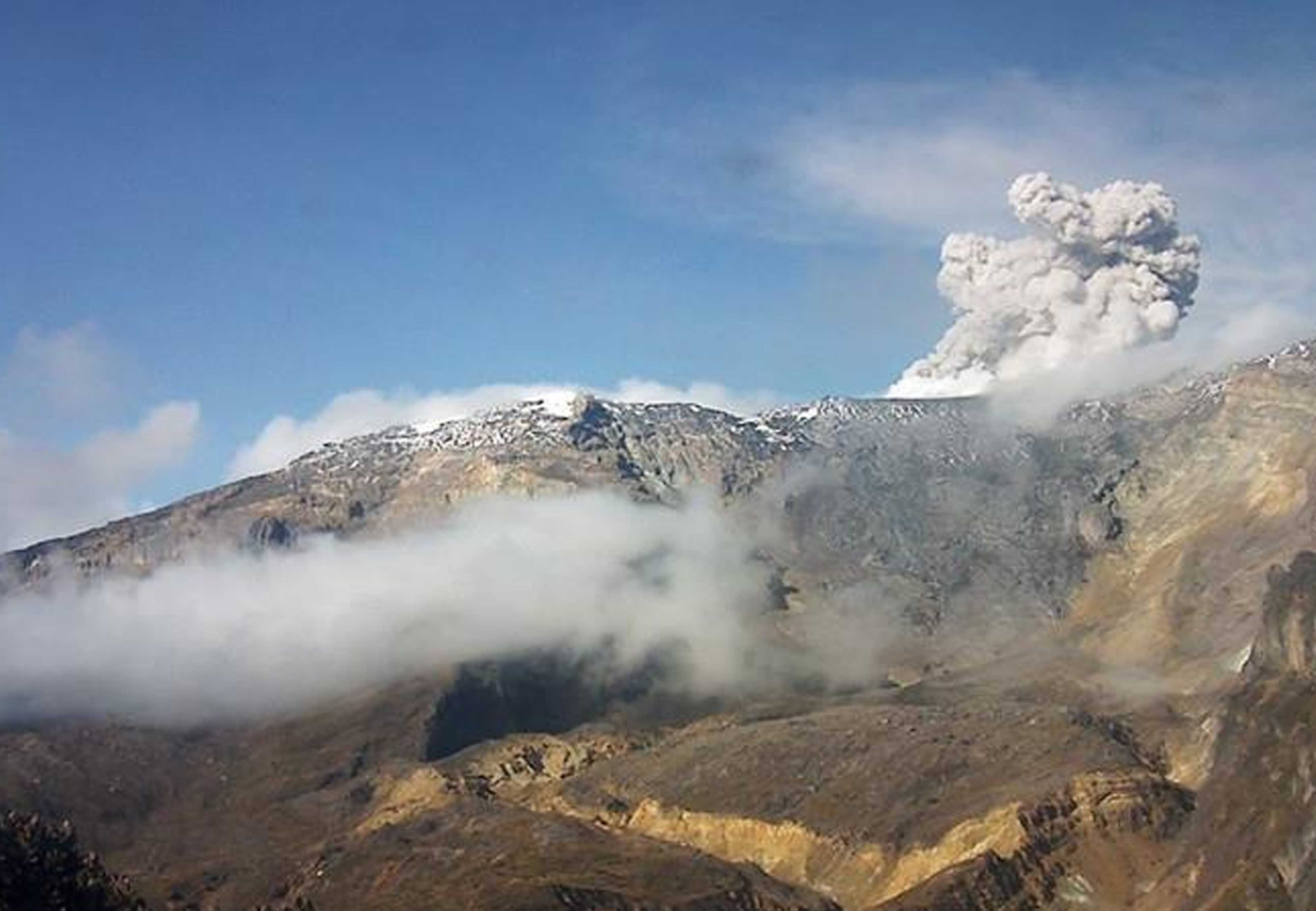
This week’s seismic activity showed a slight increase over previous ones. A total of 5 seismic signals associated with eruptions were recorded on the 9th at 20:33, on the 10th at 16:16 and at 8:53, on the 12th at 13:13 (corroborated by the RSN camera of Buenos Aires, Upala) and on the 13th at 00:07. The latter, the most energetic of the week, generated deposits of sediment and ash on the upper edge of the north wall of the active crater and lasted 220 seconds. Nevertheless, it did not generate the descent of primary lahars by the channels of the North flank. The predominant seismic signals this week are of the volcano-tectonic type (less than a dozen) and of the long-term type, including tornillo type (more than two dozen). In addition, a continuous and pulsating spasmodic tremor was recorded during the week, with variations in amplitude and duration that, in some cases, were observed in more than 3 stations near the volcano.
It is recommended to stay away from riverbeds near the volcano in case of eruption, due to the possibility of descent of primary lahars. As well as in case of rain, secondary lahars could be generated with ashes and material accumulated in the upper parts of the volcano by past eruptions.
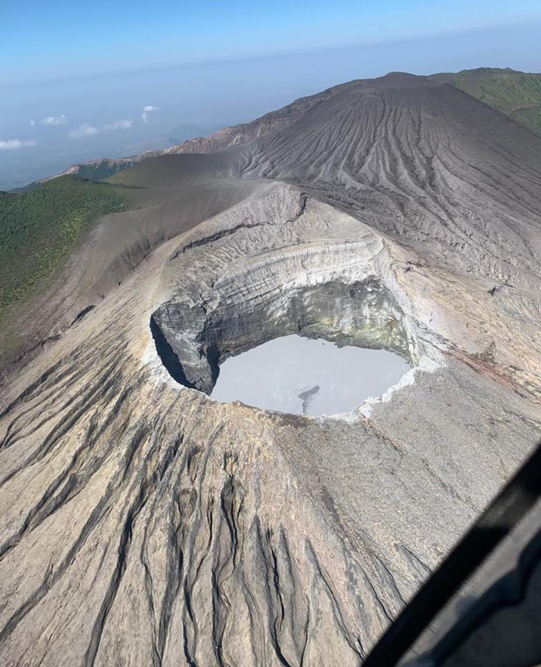
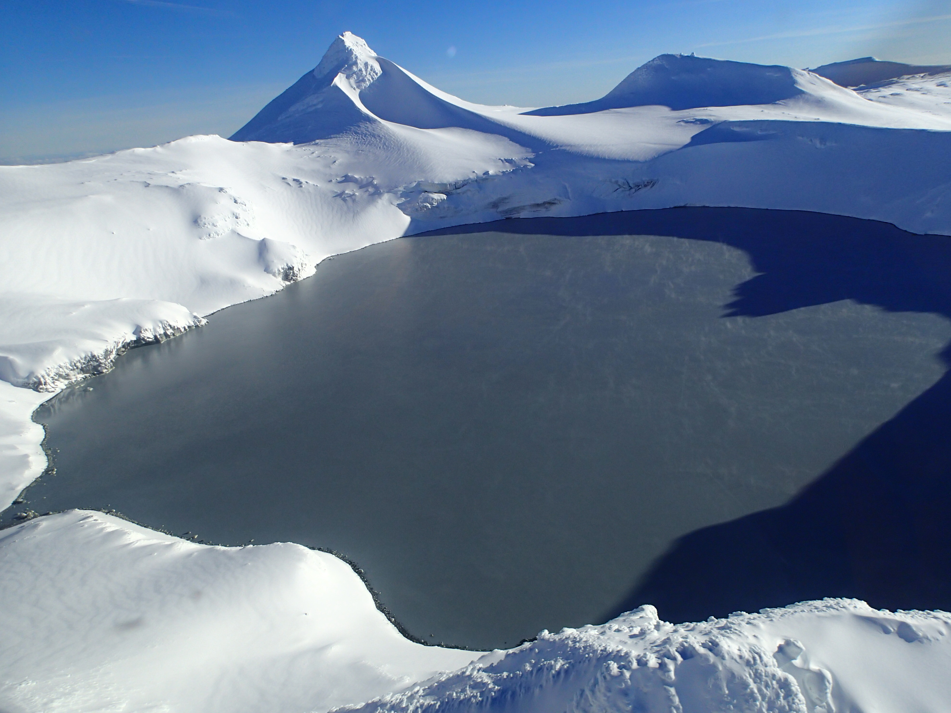
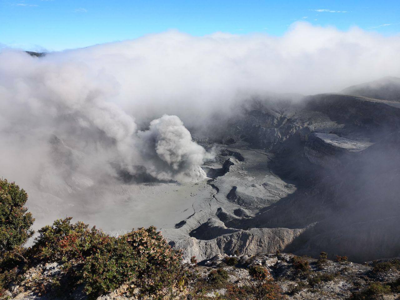
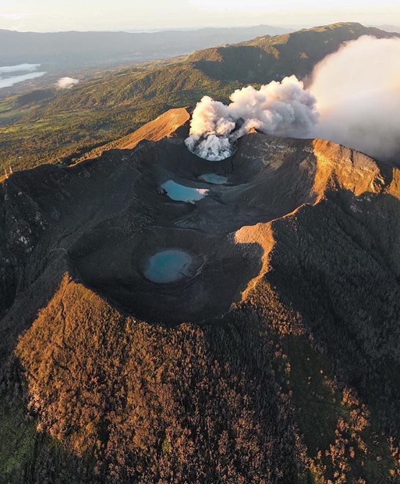
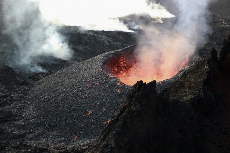
This photo shows the active crater of the Rincon de la Vieja volcano, with a low level of the lake and some sediment deposits in crater lake and ash resulting from the eruption of April 13 at 00:07. In the background, the cone of Von Seebach, and at the bottom, the fumaroles of the south-west sector are visualized.
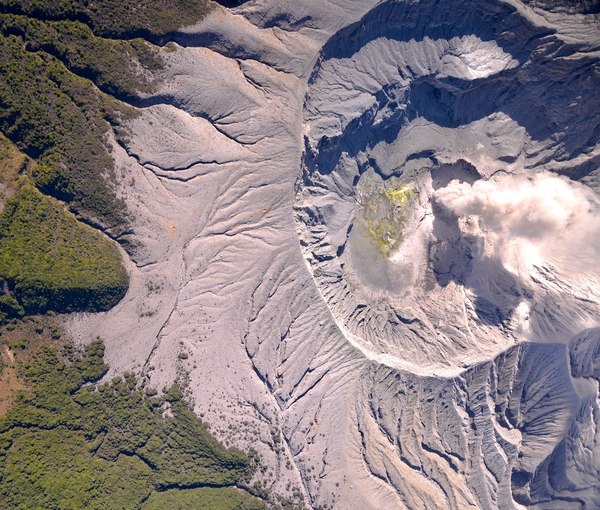
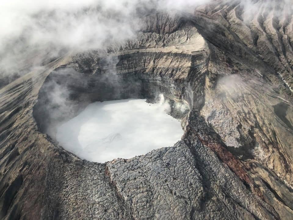
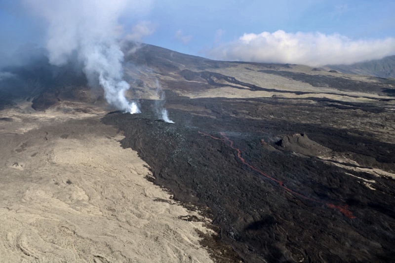
OVSICORI-UNA reported that an eruption at Rincón de la Vieja recorded at 0617 on 10 April produced a gas-and-steam plume that rose 1 km above the crater rim and drifted SE. At 0643 on 12 April a plume rose 500 m. Another event was detected at 0700 on 13 April, although poor weather conditions prevented visual observations. On 14 April OVSICORI-UNA noted that aerial photographs taken during an overflight showed a milky-gray acid lake at a relatively low water level with convection cells of several tens meters of diameter in the center and Eastern parts of the lake.
Source: Observatorio Vulcanologico y Sismologico de Costa Rica-Universidad Nacional (OVSICORI-UNA)
, RSN , GVP.
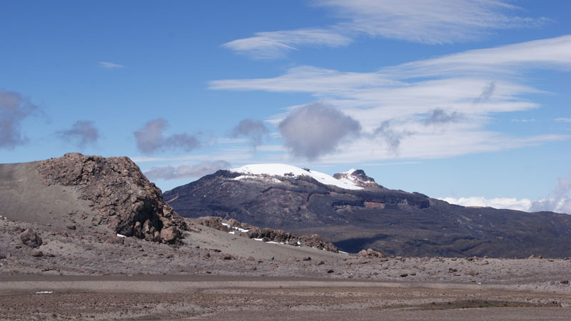
Colombia, Nevado del Ruiz :
Weekly activity bulletin of the Nevado del Ruiz volcano
The level of activity continues at the level: Yellow activity level or (III): Modifications of the behavior of the volcanic activity.
With regard to monitoring the activity of the Nevado del Ruiz volcano, the COLOMBIAN GEOLOGICAL SERVICE announces that:
The Nevado del Ruiz volcano over the past week continued to show instability in its behavior. Registered seismicity was mainly associated with fluid dynamics within volcanic canals. This type of seismic activity was characterized by the presence of earthquakes of variable energy levels, of long period (LP), very long period (VLP), pulses of volcanic tremor and continuous volcanic tremor. The earthquakes were mainly located in the crater Arenas and its surroundings. Some of these signals were associated with small emissions of gas and ash.
In addition, a volcano-tectonic activity has been recorded, which is associated with the fracturing of the volcano rock. The earthquakes were mainly located in the Arenas crater, north, north-east and south-east of the island, at depths between 0.5 and 6 km. The maximum magnitude recorded during the week was 1.1 ML (local magnitude), corresponding to an earthquake on April 9 at 22:26 (local time), at a depth of 1.2 km, in the Arenas crater.
Volcanic deformation, measured from electronic inclinometers, has not recorded any significant changes over the past week.

The volcano continues to emit water vapor and gases into the atmosphere, among which is the sulfur dioxide (SO2), as evidenced by the values obtained by the SCANDOAS stations installed in the region of the volcano. satellite image analysis.
The column of gas and vapor reached a maximum height of 1300 m, measured at the top of the volcano on April 11 and 14, respectively. The direction of dispersal of the column was governed by the direction of the wind in the area, which prevailed in the last week towards the northwest of the volcano.
The Nevado del Ruiz volcano continues at the level of yellow activity.
Source : Ingeominas.
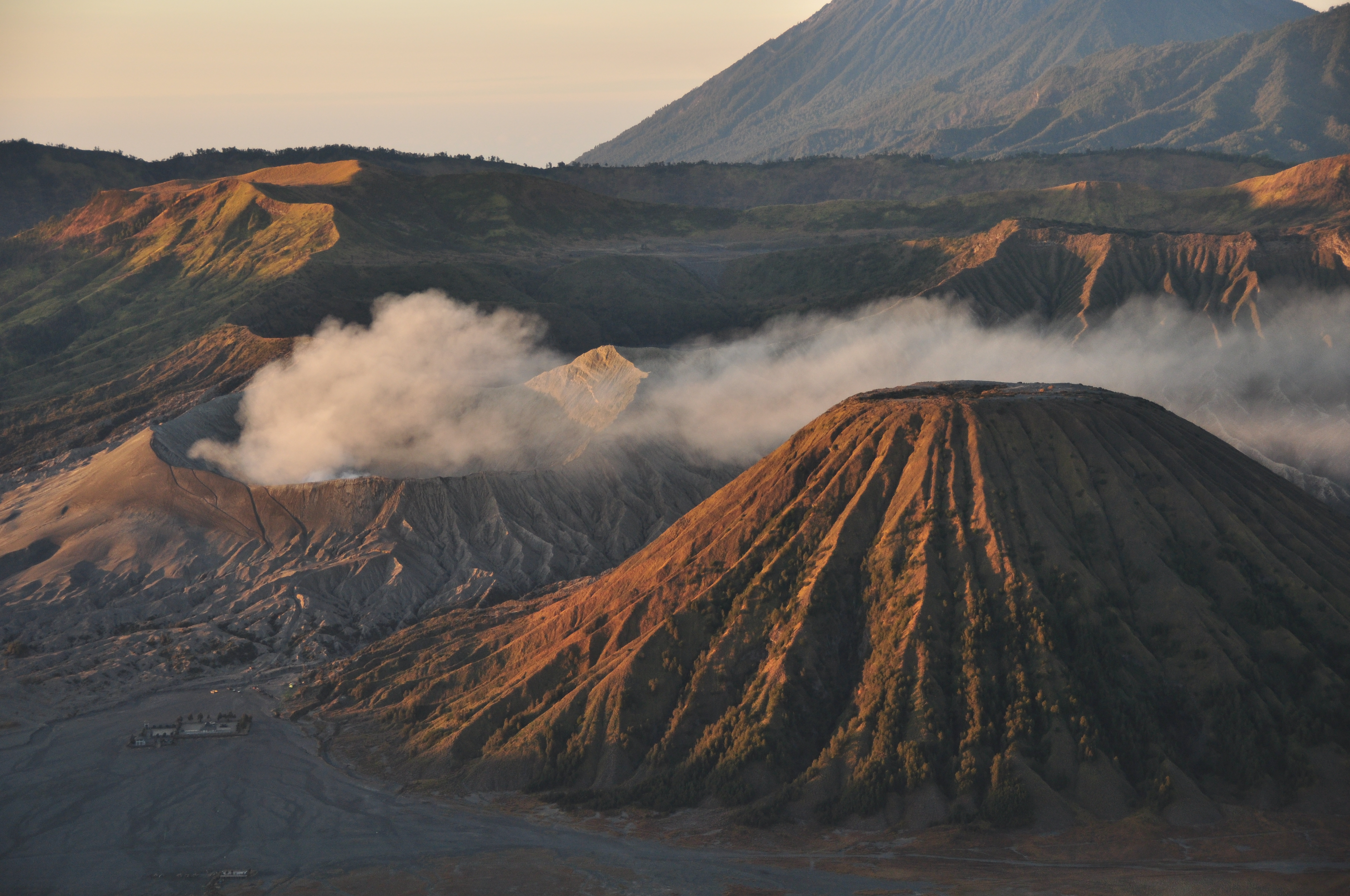
Photo : Parque-Nevado-del-Ruiz. Ingeominas.
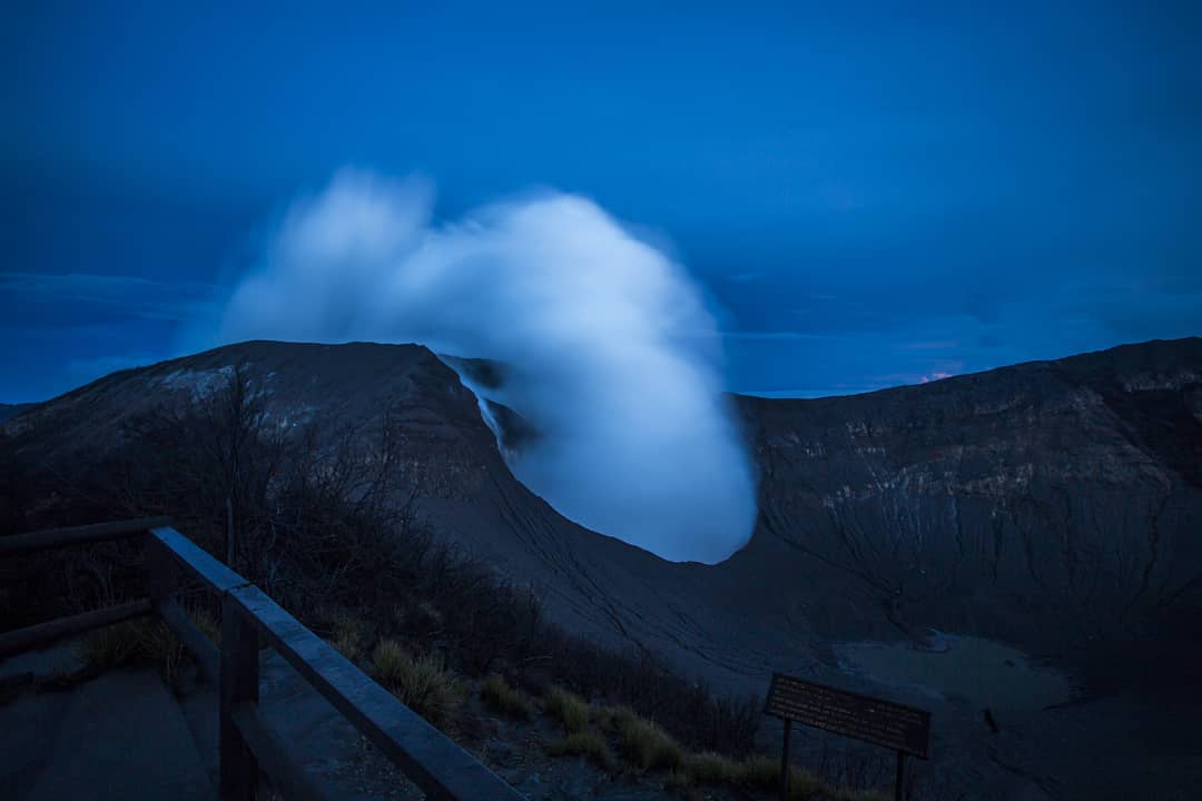
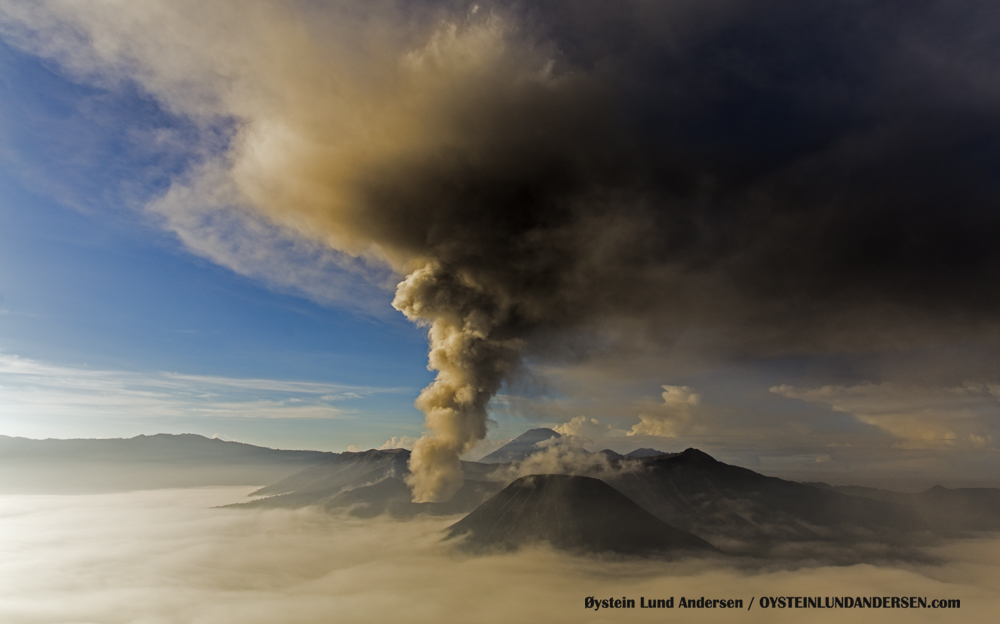
Indonesia , Bromo :
7.942°S, 112.95°E
Elevation 2329 m
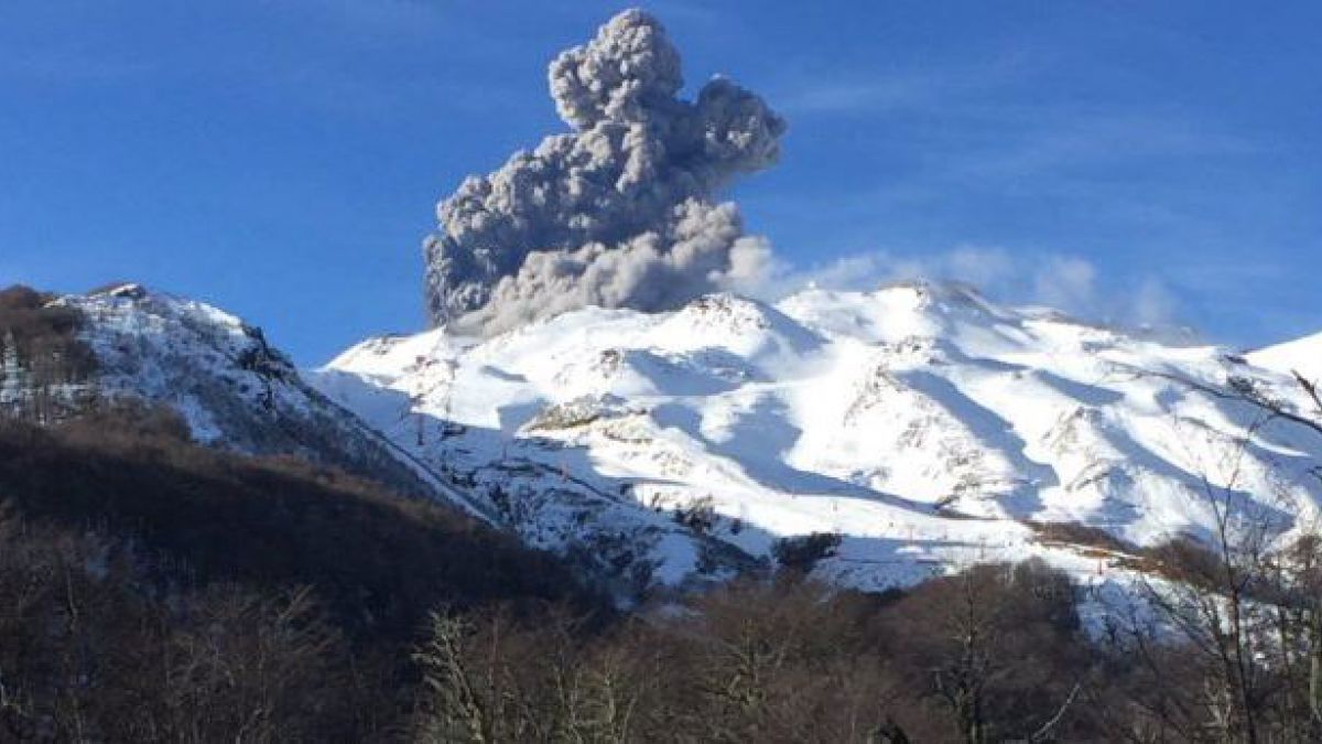
Level of activity at Level II (WASPADA). The Bromo (2329 m) is experiencing a prolonged eruption.
Since yesterday and until this morning, the volcano was clearly visible until it was covered with fog. Smoke from the main crater was observed at a maximum height of 500 meters, white to black intensity and strong thickness.
The seismographs, on April 17, 2019, recorded:
1 deep volcanic earthquake
Tremor continuous with a dominant amplitude of 1 mm.
Recommendation:
Communities around G. Bromo and visitors / tourists should not move within 1 km of the crater.
VONA:
The last VONA code sent, a color code ORANGE was published on April 6, 2019 at 07:18 WIB and concerned puffs of smoke from the crater with a height of about 3829 m above sea level or about 900 m at above the summit. The smoke column was moving to the southeast.
For the normal status of the volcano: people / tourists / mountaineers should not spend the night and camp in the crater to avoid the potential threat of toxic gases.
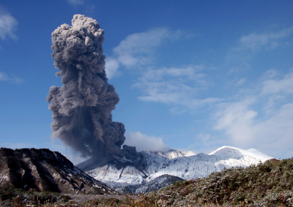
The Darwin VAAC reported that during 10-11 and 15-16 April ash plumes from Tengger Caldera’s Bromo cone rose to an altitude of 3 km (10,000 ft) a.s.l. and drifted in multiple directions, based on webcam images and satellite data. The Alert Level remained at 2 (on a scale of 1-4), and visitors were warned to stay outside of a 1-km radius of the crater.
Source : PVMBG , GVP .
Photo : G Vitton.
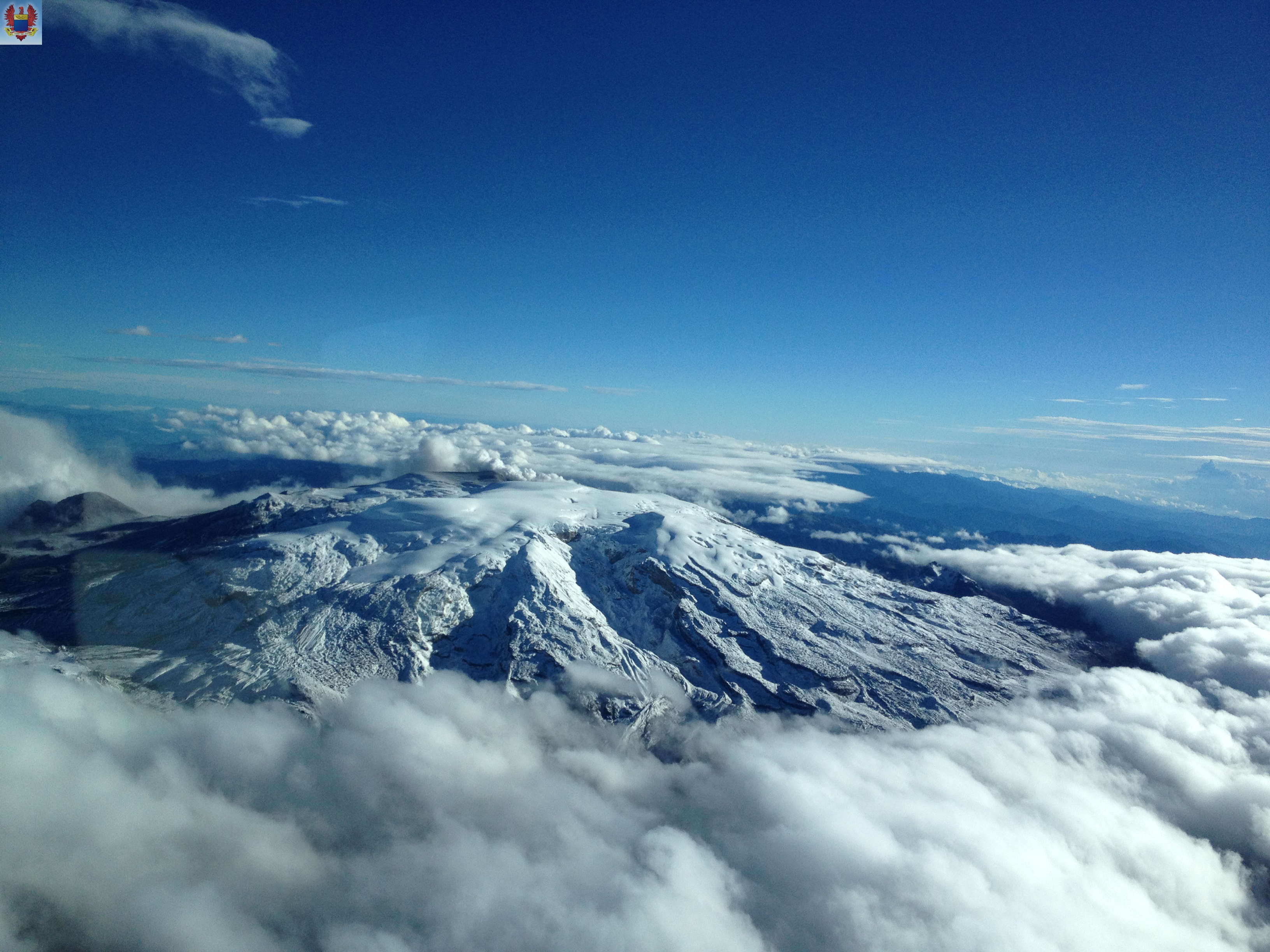
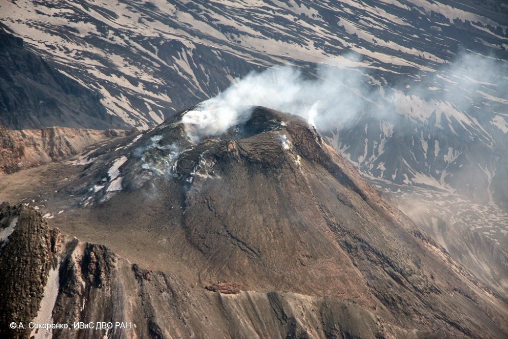
Japan , Aira ( Sakurajima ) :
31.593°N, 130.657°E
Elevation 1117 m
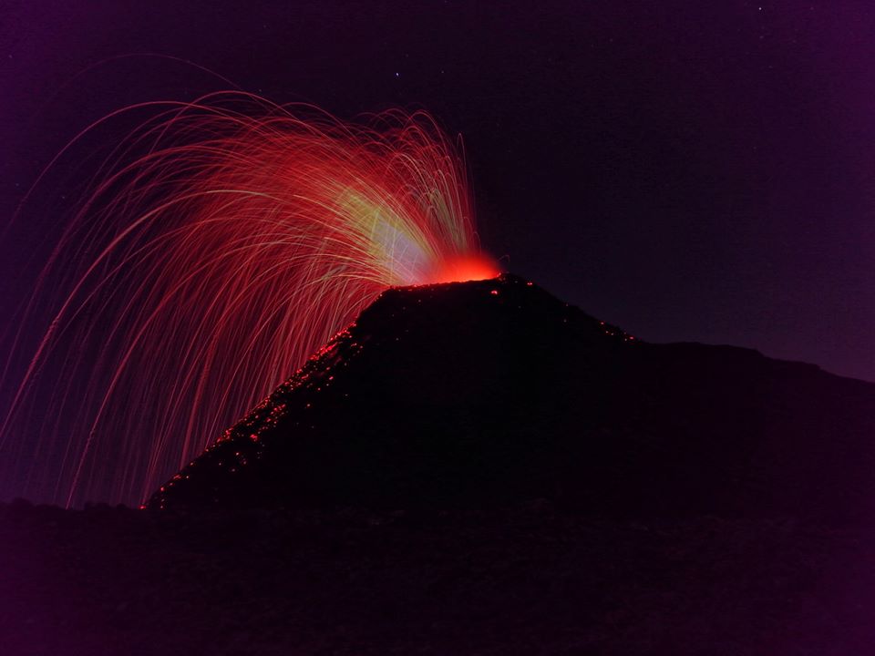
JMA reported that incandescence from Minamidake crater (at Aira Caldera’s Sakurajima volcano) was occasionally visible during 12-15 April. Two events and one explosion generated plumes that rose a maximum of 2.2 km above the crater rim and ejected material as far as 700 m. The Alert Level remained at 3 (on a 5-level scale).
The Aira caldera in the northern half of Kagoshima Bay contains the post-caldera Sakurajima volcano, one of Japan’s most active. Eruption of the voluminous Ito pyroclastic flow accompanied formation of the 17 x 23 km caldera about 22,000 years ago. The smaller Wakamiko caldera was formed during the early Holocene in the NE corner of the Aira caldera, along with several post-caldera cones. The construction of Sakurajima began about 13,000 years ago on the southern rim of Aira caldera and built an island that was finally joined to the Osumi Peninsula during the major explosive and effusive eruption of 1914. Activity at the Kitadake summit cone ended about 4850 years ago, after which eruptions took place at Minamidake. Frequent historical eruptions, recorded since the 8th century, have deposited ash on Kagoshima, one of Kyushu’s largest cities, located across Kagoshima Bay only 8 km from the summit. The largest historical eruption took place during 1471-76.
Source : GVP. JMA.
Photo : S.Nakano.
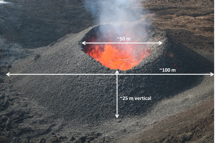
Guatemala , Pacaya :
Type of activity: Strombolian
Morphology: Composite Stratovolcano
Geographical location: 14 ° 22’50˝ Latitude N; 90 ° 36’00˝ Longitude O.
Height: 2,552msnm.
Weather conditions: partly cloudy
Wind: south
Precipitation: 0.0 mm.
Activity:
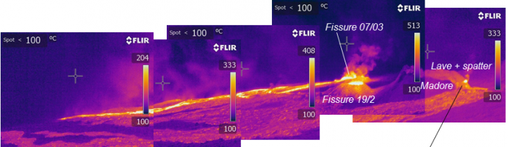
Presence of moderate outgassing at a height of approximately 3,050 m above sea level dispersed to the southwest. The seismic station records the internal tremors associated with constant degassing and Strombolian explosions, which lift materials at a height of approximately 50 to 150 meters above the crater. There is glow in the Mackenney crater and lava flows to the north on the slopes of the volcano. There are weak avalanches in front of the lava flows.
Source : Insivumeh.
Photo : Henry Salguero via Sherine France .