April 11 , 2023.
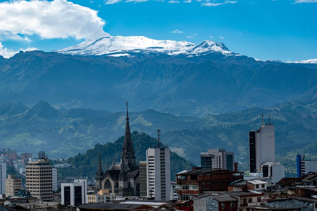
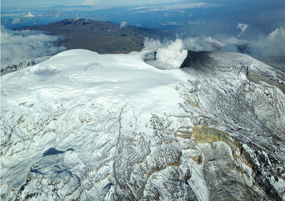
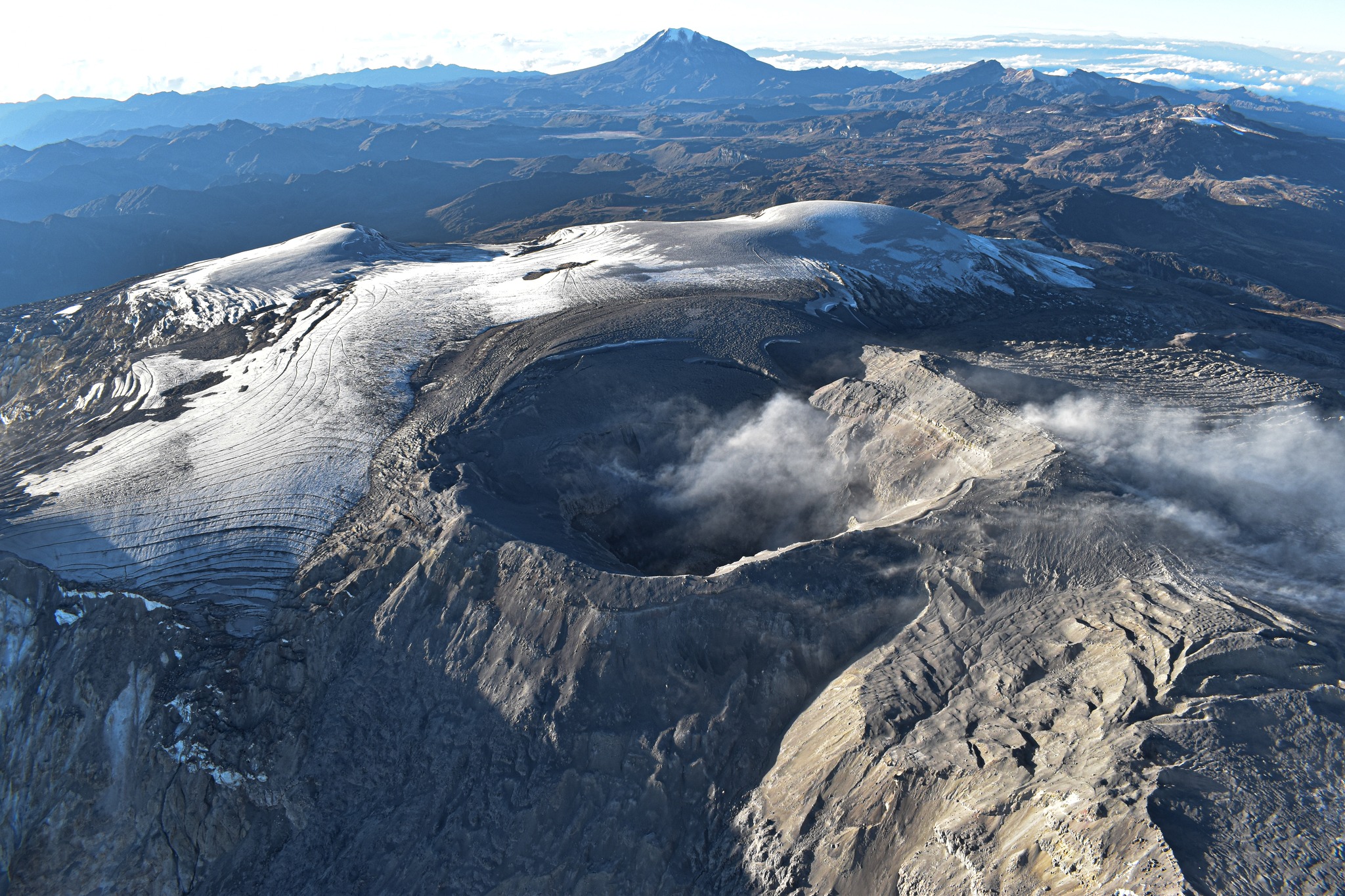
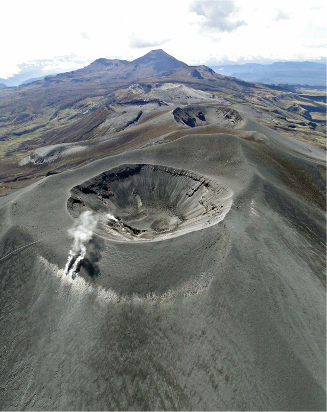
Colombia , Nevado del Ruiz :
Manizales, 10 avril 2023 10h00
Regarding the monitoring of the activity of the NEVADO DEL RUIZ VOLCANO, the MINISTRY OF MINES AND ENERGY through the COLOMBIAN GEOLOGICAL SERVICE (SGC) informs that:
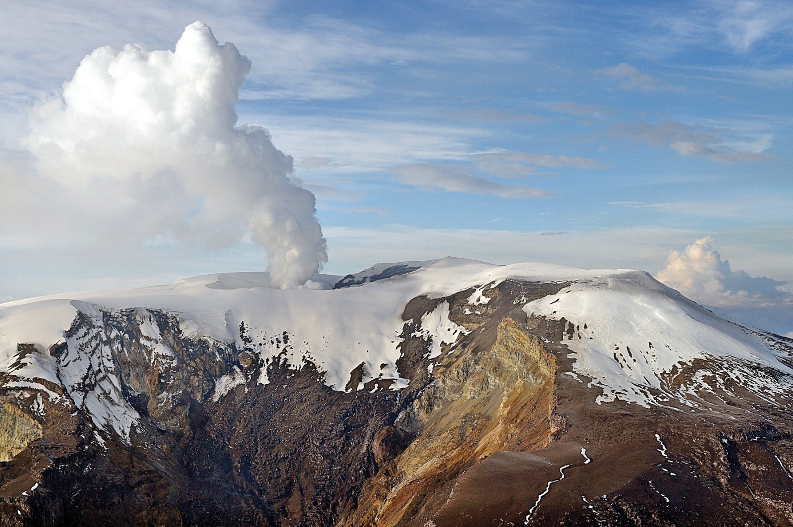
The seismic activity associated with the fracturing of the rocks inside the volcanic edifice continues to be localized in the southwestern sector of the volcano, at depths between 2 and 4 km and at a distance from the crater between 1 ,7 and 6 km. Yesterday, the maximum magnitude was 1.8 ML corresponding to the 04:48 earthquake located 5.0 km southwest of the crater at a depth of 3.3 km.
The seismicity related to the movement of fluids inside the volcanic conduits continues to be recorded. Since this morning, this seismicity has increased and is associated with a continuous emission of ash, confirmed by the cameras used for surveillance and by the reports of the inhabitants of the sector of the village of La Cabaña. The maximum height of the gas and/or ash column
observed today was 1800 m, measured from the summit of the volcano with a direction of dispersion which oscillated between the East and the North-East. The emission of sulfur dioxide into the atmosphere remains at levels similar to those observed in previous days. The report of localized thermal anomalies in the Arenas crater is maintained.
These technical indicators show that, although the seismicity associated with rock fracturing has decreased in recent days, there are other parameters that show that the activity of the Nevado del Ruiz volcano is still very unstable. The increase in seismicity linked to the movement of fluids inside the volcanic conduits and the persistence of localized thermal anomalies in the Arenas crater are a sign that there is new magma inside the volcano.
Although the activity of the volcano at the ORANGE LEVEL may fluctuate and sometimes decrease compared to the previous days, this does not mean that it has returned to a lower level of activity.
To change the level and return to the yellow level, a prudential time is required where trends and patterns can be observed that allow us to deduce the possible decrease in activity, which is why it is warned that the level of activity of the Nevado del Ruiz volcano will remain at the ORANGE LEVEL for several weeks. Meanwhile, if there is an acceleration of processes suggesting an impending eruption or the eruption itself occurring, the activity level will turn red.
The COLOMBIAN GEOLOGICAL SERVICE will continue to monitor the evolution of the volcanic phenomenon and will provide timely information on any changes that may occur.
The level of activity of the volcano remains at the ORANGE LEVEL of activity or (II): PROBABLE ERUPTION IN TERM OF DAYS OR WEEKS
Source : SGC.
Photo : SGC/ La Patria .
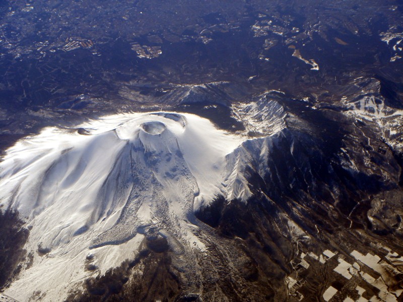
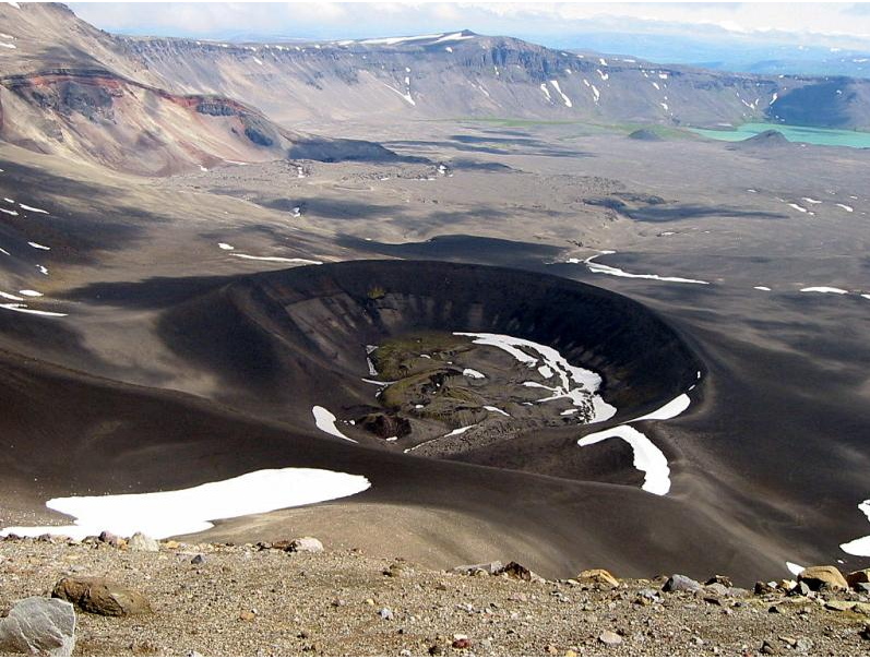
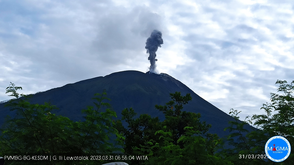
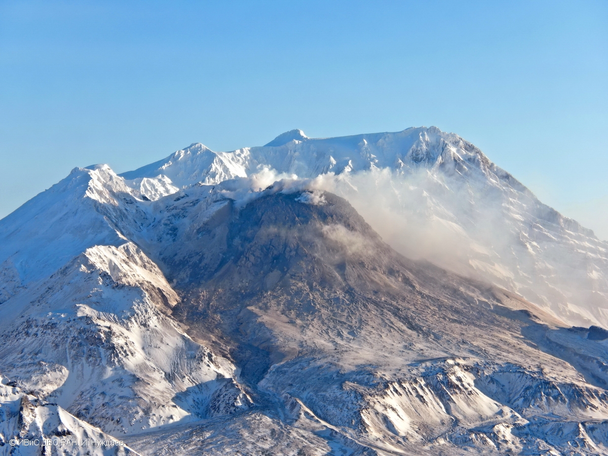
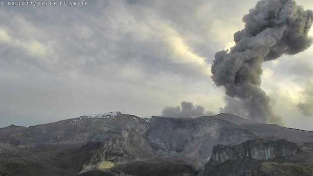
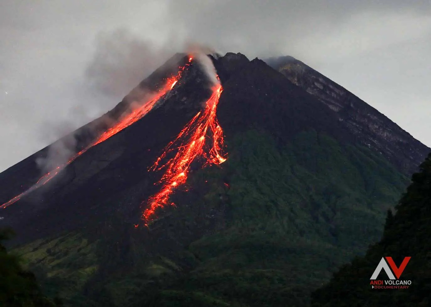
Indonesia , Merapi :
Report on the activity of Mount Merapi from March 31, 2023 to April 06, 2023, Published on April 10, 2023
RESULTS OF OBSERVATIONS
Visual
The weather around Mount Merapi is usually sunny in the morning and afternoon, while the evening is foggy. White, fine to thick, low to medium pressure, 200 m high white smoke was observed from the Mount Merapi observation post in Babadan on April 5, 2023 at 08:30.
This week, there were 1 lava avalanches towards the South-West (towards Kali Bebeng) with a maximum slip distance of 1100 m. Lava avalanches were observed up to 79 times in the direction of the South-West (the main ones towards Kali Bebeng and Boyong) with a maximum sliding distance of 1800 m. The sound of the avalanches was heard once from the Babadan post with medium intensity.
On the Southwest dome there is a morphological change that has occurred due to the presence of precipitation and precipitation heat clouds. For the central dome, no significant change.
Seismicity
This week, the seismicity of Mount Merapi showed:
1 hot cloud avalanche earthquakes (APG)
1 shallow volcanic earthquakes (VTA),
6 deep volcanic earthquakes (VTB),
563 avalanche earthquakes (RF),
11 tectonic earthquakes (TT).
64 multi-phase (MP) earthquakes
The intensity of this week’s seismicity is still quite high.
Deformation
Mount Merapi’s deformation that was monitored using EDM and GPS this week showed a shortening rate of 0.03 cm/day.
Rain and lahars:
This week, it rained at the G. Merapi observation post with a rain intensity of 53 mm/hour for 80 minutes at the Kaluirang post on April 03, 2023. No increase in the flow of the rivers descending from Mount Merapi has been reported.
Conclusion
Based on the results of visual and instrumental observations, it is concluded that:
-The volcanic activity of Mount Merapi is still quite high in the form of effusive eruption activity. The state of the activity is defined at the « SIAGA » level.
Source : BPPTKG
Photo : Andi Volcanist.
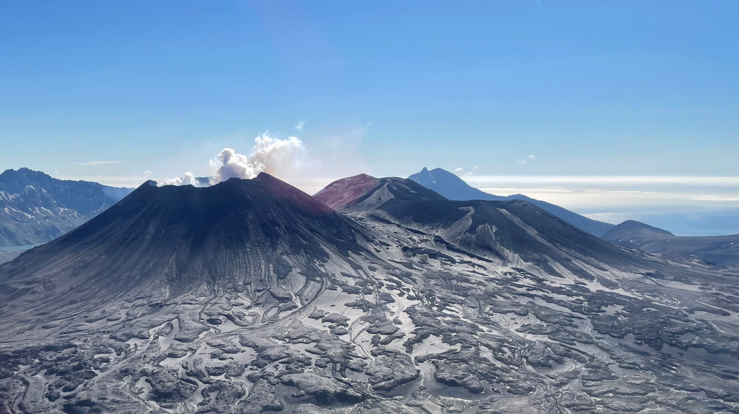
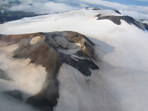
Alaska , Trident :
58°14’3″ N 155°6’9″ W,
Summit Elevation 3599 ft (1097 m)
Current Volcano Alert Level: ADVISORY
Current Aviation Color Code: YELLOW
Earthquakes continued to occur in the vicinity of Trident Volcano over the past 24 hours. No volcanic activity was observed in clear satellite and web camera data, although high winds continued to kick up ash from the 1912 Katmai-Novarupta eruption, generating a plume of ash that extended across Shelikof Strait towards Kodiak Island. The 1912 Katmai-Novarupta ash is exposed on snow-free surfaces south of Trident Volcano and is unrelated to current unrest there.
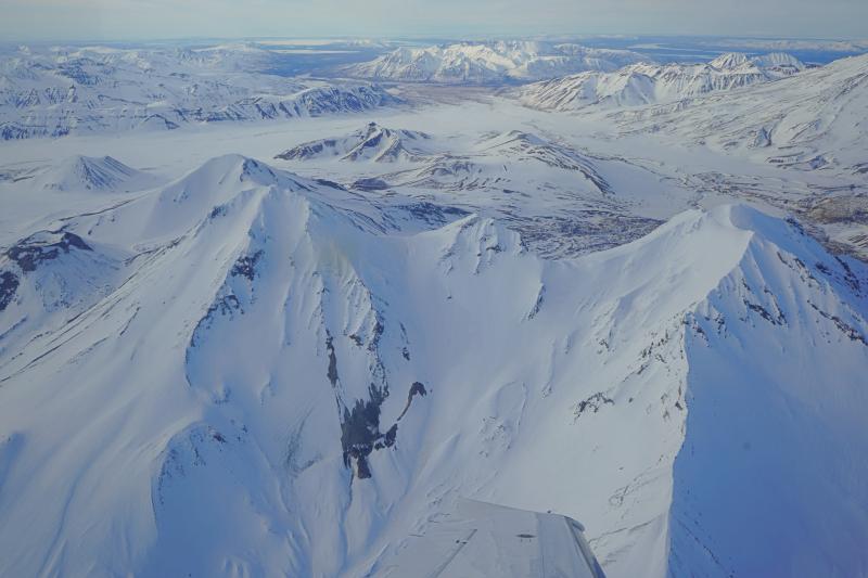
The current period of seismic unrest began on August 24, 2022. Increases in seismic activity have been detected previously at Trident Volcano and other similar volcanoes, with no subsequent eruptions. We expect additional shallow seismicity and other signs of unrest, such as gas emissions, elevated surface temperatures, and surface deformation to precede any future eruption, if one were to occur.
AVO monitors Trident Volcano with a local network of seismometers, a webcam, remote sensing data, and regional infrasound and lightning networks.
Source : AVO
Photo : Lopez, Taryn/ Alaska Volcano Observatory / University of Alaska Fairbanks, Geophysical Institute .
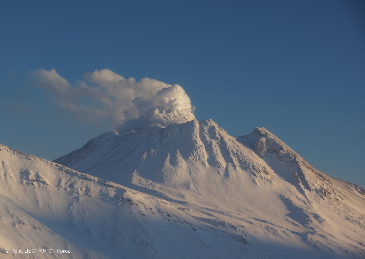
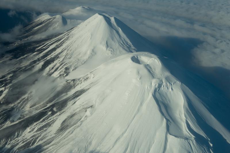
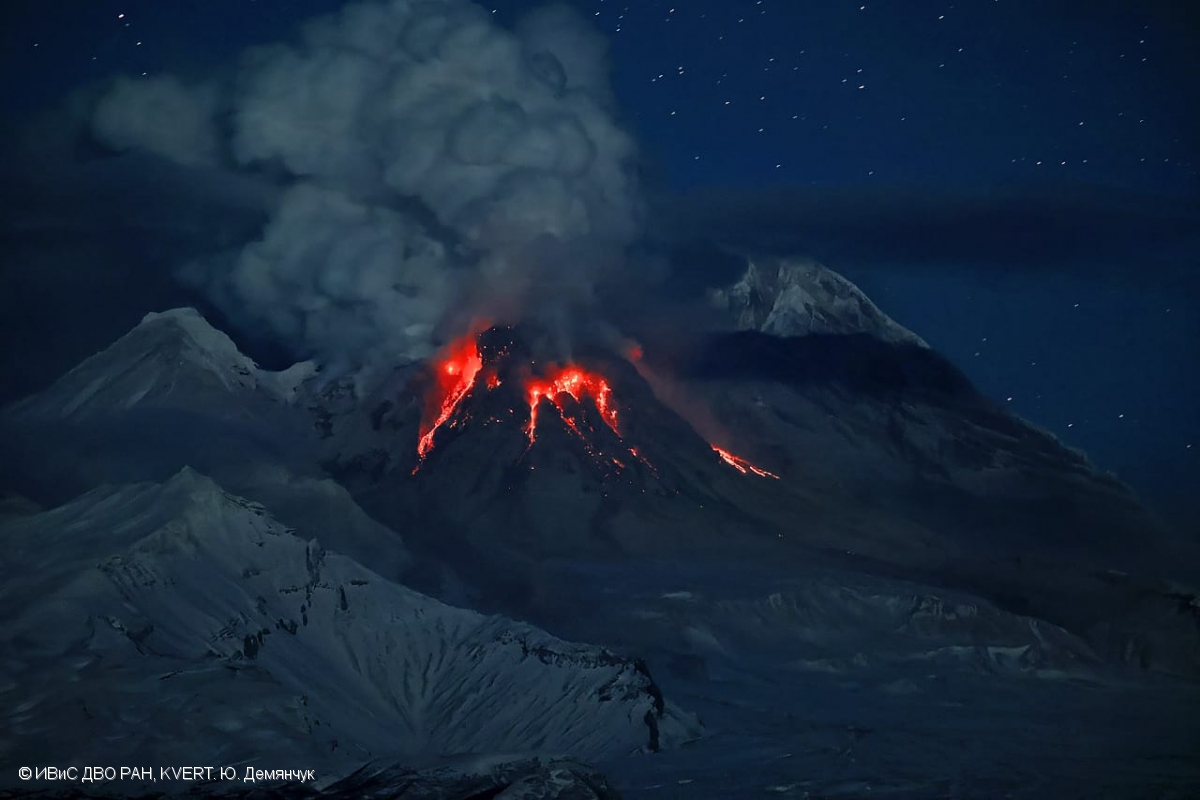
Kamchatka , Sheveluch :
VOLCANO OBSERVATORY NOTICE FOR AVIATION (VONA)
Issued: April 11 , 2023
Volcano: Sheveluch (CAVW #300270)
Current aviation colour code: RED
Previous aviation colour code: red
Source: KVERT
Notice Number: 2023-54
Volcano Location: N 56 deg 38 min E 161 deg 18 min
Area: Kamchatka, Russia
Summit Elevation: 3283 m (10768.24 ft), the dome elevation ~2500 m (8200 ft)
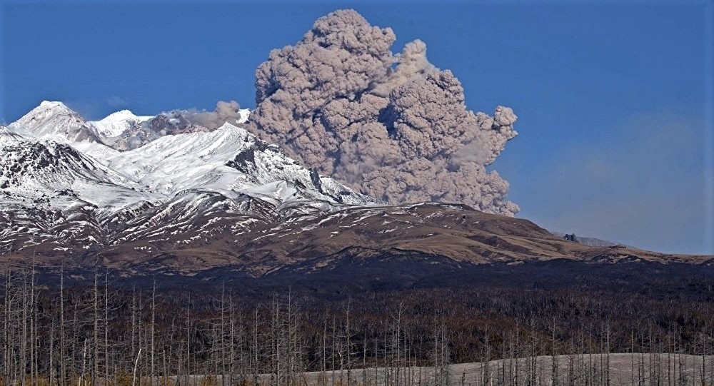
Volcanic Activity Summary:
Strong explosive eruption of Sheveluch volcano continues. Explosions sent ash up to 8 km a.s.l., ash clouds are drifting about 430 km to the west-south-west and to the south of the volcano.
An eruption of the volcano continues. Ash explosions up to 15 km (49,200 ft) a.s.l. could occur at any time. Ongoing activity could affect international and low-flying aircraft.
Volcanic cloud height:
7000-8000 m (22960-26240 ft) AMSL Time and method of ash plume/cloud height determination: 20230411/0314Z – Suomi NPP 15m16
Other volcanic cloud information:
Distance of ash plume/cloud of the volcano: 435 km (270 mi)
Direction of drift of ash plume/cloud of the volcano: WSW / azimuth 256 deg
Time and method of ash plume/cloud determination: 20230411/0314Z – Suomi NPP 15m16
Start time of explosion and how determined: 20230410/1320Z – Satellite data
Source : Kvert.
Photo : Yu Demyanchuck , IVS FEB RAS KVERT.
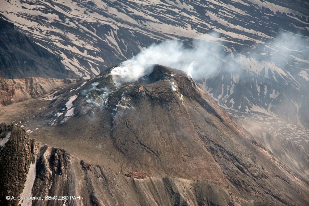
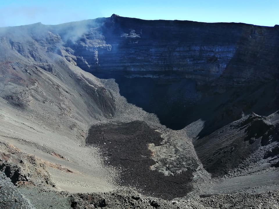
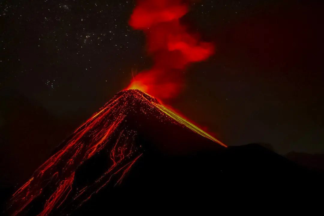
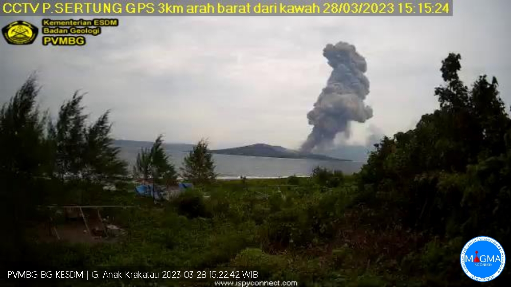
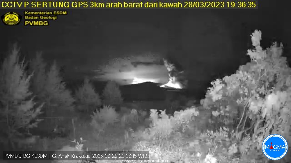
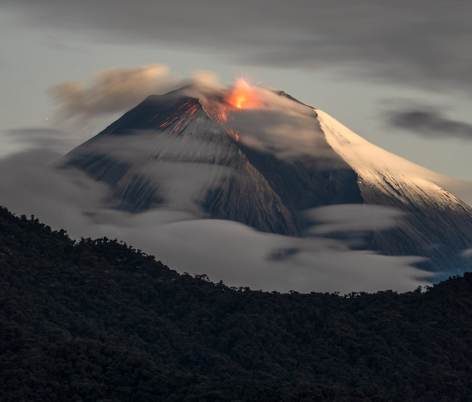
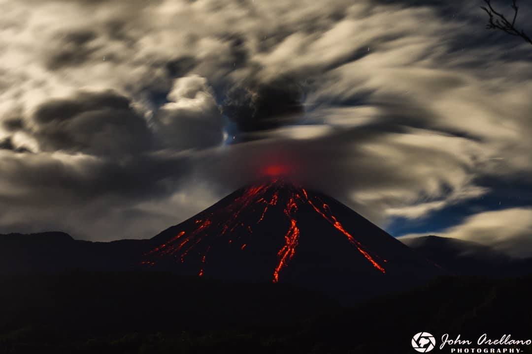
Ecuador , Reventador :
DAILY REPORT OF THE STATE OF THE REVENTADOR VOLCANO, Monday April 10, 2023.
Information Geophysical Institute – EPN.
Surface Activity Level: High, Surface Trend: Unchanged
Internal activity level: Moderate, Internal trend: No change
Seismicity: From April 09, 2023, 11:00 a.m. to April 10, 2023, 11:00 a.m.:
There was no interruption in the transmission of data from the REVS reference station.
Explosion (EXP): 29
Long periods (LP): 20
Emission Tremors (TREMI): 10
Rains / Lahars:
There were light rains in the area of the volcano.
Emission / Ash Column:
Gas and ash emissions were observed in a northwest and west direction with a height of up to 700 meters above the summit level. 4 reports of ash emission were reported by the Washington VAAC with a height of up to 1000 meters above the level of the crater in the North-West, North-East and North directions.
Other Monitoring Parameters:
The MIROVA-MODIS system has recorded 1 low thermal alert in the last 24 hours.
Observation:
At night, the indicated emissions were observed, accompanied by incandescence at the level of the summit and the rolling of blocks on all sides, up to about 500 meters below the level of the crater. At the moment, the area is cloudy.
Alert level: Orange.
Source : IGEPN.
Photo : John Arellano